
A restaurant in Avrieux?
Hosting visitors of Cascade de Saint-Benoît ? Appear here.
Become a partnerOn the Esseillon forts road between Aussois and Avrieux, the fall drops 90 metres beside the Saint-Benoît chapel. Picnic area, shade and grassy beaches at its foot.

The Cascade de Saint-Benoît drops 90 metres beside the D215, the tourist road to the Esseillon forts between Aussois and Avrieux, next to the Saint-Benoît chapel. At its foot: a picnic area, shade and grassy beaches, all free of charge.
Access requires reading the signs: the road is closed to all traffic in winter, and in summer it runs one-way uphill towards the forts, with very limited parking. The tourist office's alternative: in summer, 30 minutes on foot from the Avrieux Centre bus stop.
In summer, when the road is open (uphill direction) — or on foot from Avrieux Centre. In winter the road is closed to all traffic.
Hosting visitors of Cascade de Saint-Benoît ? Appear here.
Become a partnerShare hours and specialties with visitors of Cascade de Saint-Benoît.
Become a partnerGîte, B&B, campsite, rental in Avrieux.
Become a partnerBeen there? Share your photos — we'll add them to this page with credit. Tag #loisirs73 or email photos@loisirs73.fr
Not by road: it is closed to all traffic in winter, per the Haute Maurienne Vanoise tourist office.
By the D215, uphill direction only (towards the forts), with very limited parking — or on foot, 30 minutes from the Avrieux Centre bus stop.
90 metres, per the tourist office — one of Haute Maurienne's great visible falls.
A picnic area, shade and grassy beaches at the foot of the fall, beside the Saint-Benoît chapel.
Parking: Very limited (source: tourist office).
Access: Free.
Best time: Summer (road open, uphill direction).
Multi-source verification at publication. Information may change — confirm with the official operator before travelling.
Nearby
Other places to explore in the area and in the same category
 Paid
Paid
Le Grand Filon, musée du fer, Saint-Georges-d'Hurtières, Savoie: Paid, Published season. Official sources, discrepancies flagged.
 Free
Free
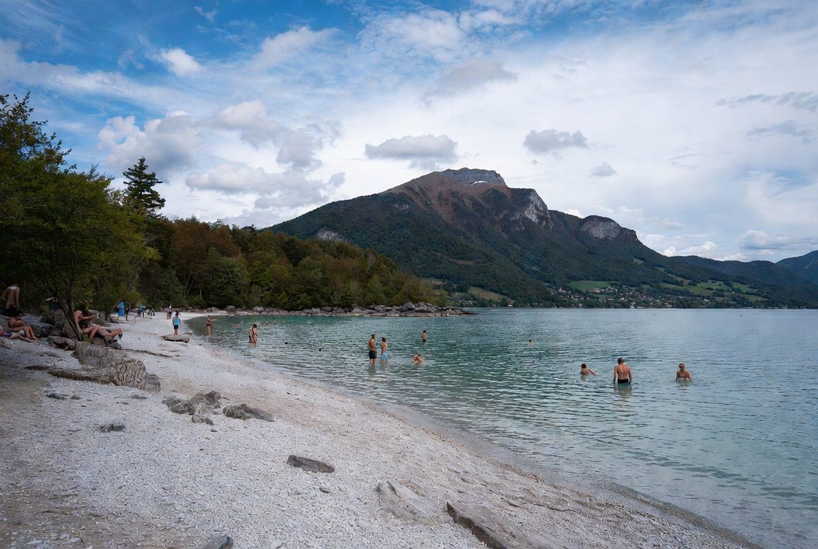
The Grésy-sur-Isère lake: free access, Pavillon Bleu laureate, supervised summer swimming 12:00–18:00. Official sources, 2026 dates.
 Free
Free
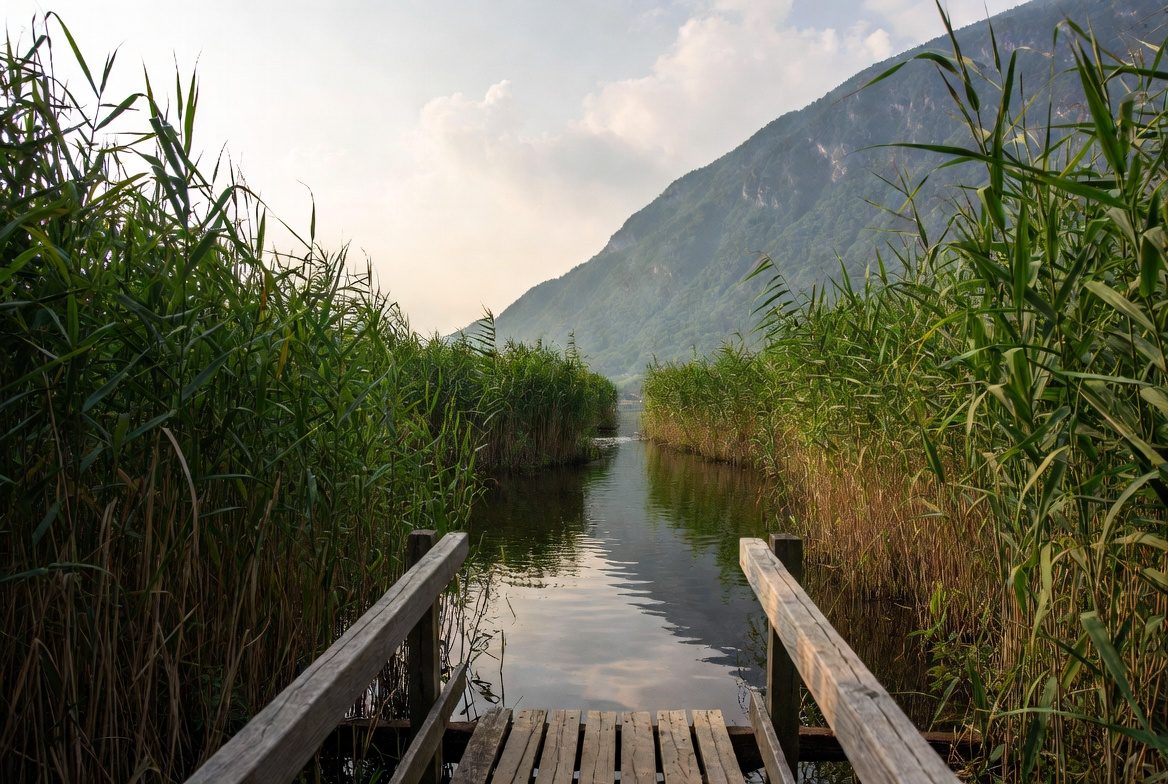
The Lac des Hurtières (lower Maurienne, 320 m): free lifeguarded summer swimming, 25 °C water rated Excellente, a Natura 2000 plain with a wildlife hide, a guinguette from mid-May to late August.
 Free
Free
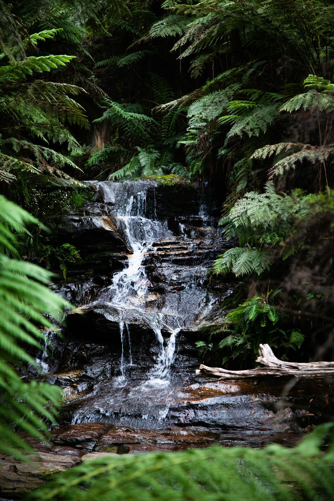
A near-80 m fall born of a diversion tunnel dug from 1902, on a trail that passes more than 50 cascades of the Morel. Free, June to September.
Free
A 60 m fall above Chambéry: a 1-hour loop from the Chaffardon car park, with a corniche section and a cabled passage. Free, 1 May to 31 October, not advised in wet weather.
Free
A tufa-forming waterfall in the Bauges fed by the Tanne du Cochon, one of Savoie's deepest chasms (825 m). Very easy 7.5 km loop, about 2h, free.