
A restaurant in Les Déserts?
Hosting visitors of Croix du Nivolet from the Plateau Sud ? Appear here.
Become a partnerThe landmark overlooking Chambéry, reached from La Féclaz's Plateau Sud: a shaded 9.2 km summer loop — and a waymarked winter snowshoe version, with different figures.

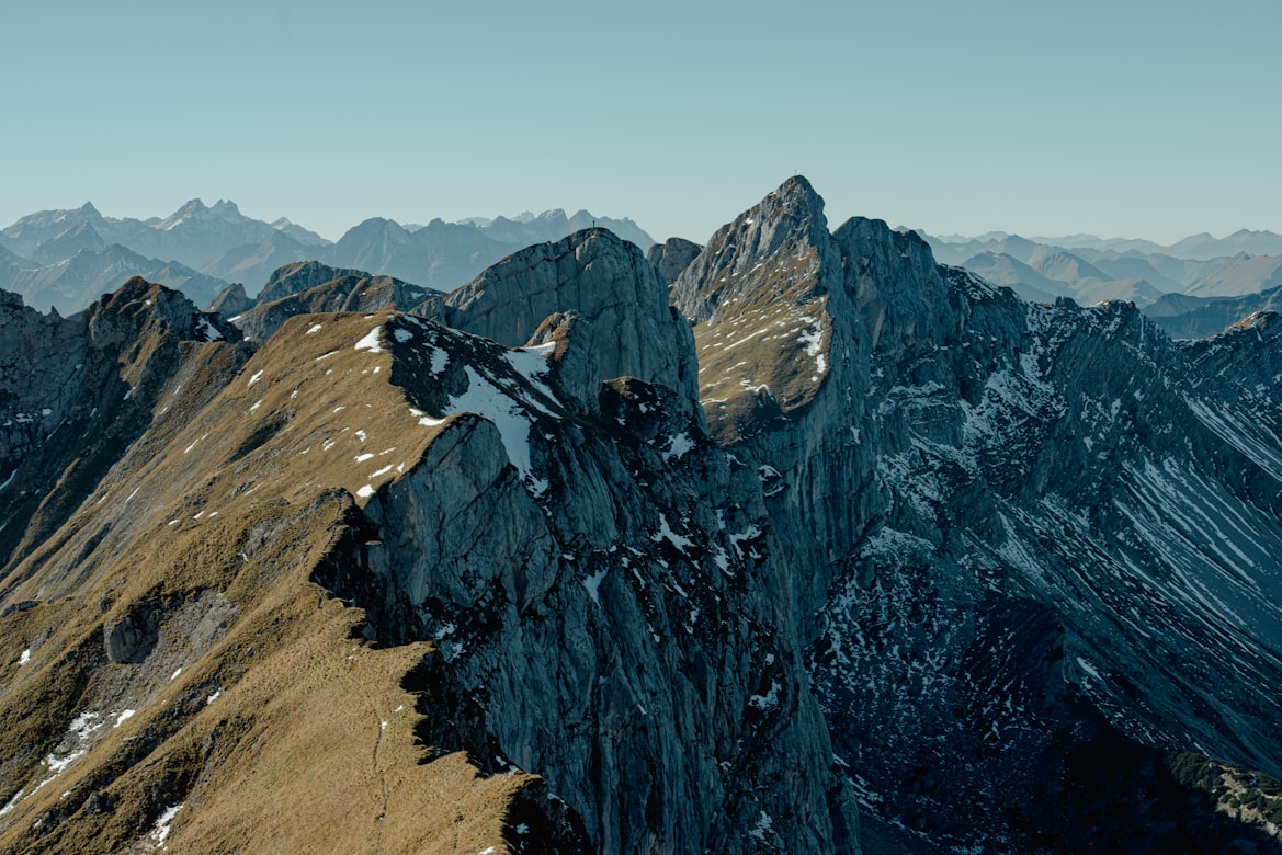
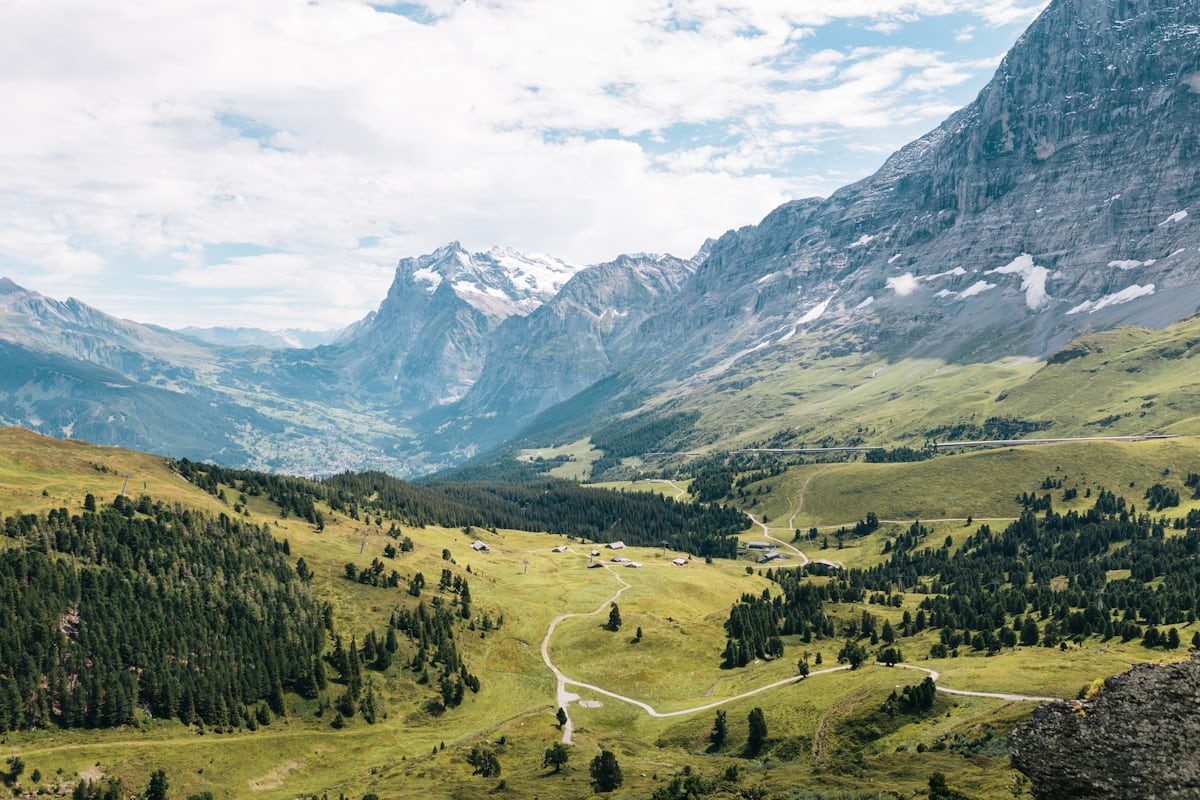
The croix du Nivolet watches over Chambéry from the Bauges' rim. From the Plateau Sud car park at La Féclaz, the walk — 'very accessible and shaded', writes the tourist office — reaches the landmark and its 360° aerial panorama. The walking fiche announces a 9.2 km loop, 3h30, +283 m, rated 'Moyen', between 1,291 m and 1,545 m of altitude.
In winter, the same route exists as a waymarked snowshoe version — yellow stakes and signs — open 1 December to 31 March, snow conditions permitting. An owned-up oddity: for the same start and the same summit, the winter fiche publishes different figures — 9.5 km, 323 m of gain, 4h, 'Difficile'. We give both sets as they stand: snow lengthens everything, but it is the tourist office itself publishing both.
Summer for the shaded loop; 1 December to 31 March for the snowshoe version, snow permitting. The panorama itself never closes.
Hosting visitors of Croix du Nivolet from the Plateau Sud ? Appear here.
Become a partnerShare hours and specialties with visitors of Croix du Nivolet from the Plateau Sud.
Become a partnerGîte, B&B, campsite, rental in Les Déserts.
Become a partnerBeen there? Share your photos — we'll add them to this page with credit. Tag #loisirs73 or email photos@loisirs73.fr
'Moyen' in summer (9.2 km, 3h30, +283 m per the walking fiche); 'Difficile' in winter on snowshoes (9.5 km, 4h, 323 m per the snowshoe fiche). Both official fiches describe the same start — and publish different figures.
Yes, on snowshoes: a route waymarked with yellow stakes, open 1 December to 31 March, subject to snow conditions.
A 360° aerial panorama — the cross overlooks Chambéry and the gap between the Bauges and the Chartreuse.
At the Plateau Sud car park, La Féclaz (73230), the start of both versions.
Between 1,291 m and 1,545 m, starting at 1,413 m, per the official fiche.
Parking: Plateau Sud car park, La Féclaz.
Access: Free — waymarked route.
Best time: Summer on foot; 1 December to 31 March on snowshoes, snow permitting.
Dogs: 'Animals accepted on a lead only'.
Multi-source verification at publication. Information may change — confirm with the official operator before travelling.
Nearby
Other places to explore in the area and in the same category
 Paid
Paid
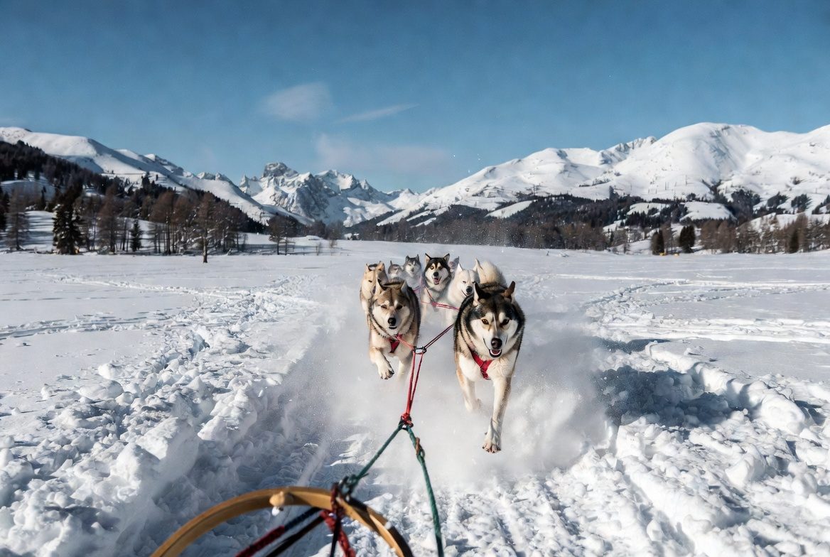
Savoie Grand Revard, the Bauges' 'Little Canada': 150 km of cross-country over three gateways (La Féclaz, Le Revard, Saint-François-de-Sales), 30 km of alpine, Hibou night evenings — 30 minutes from Chambéry.
 Free
Free
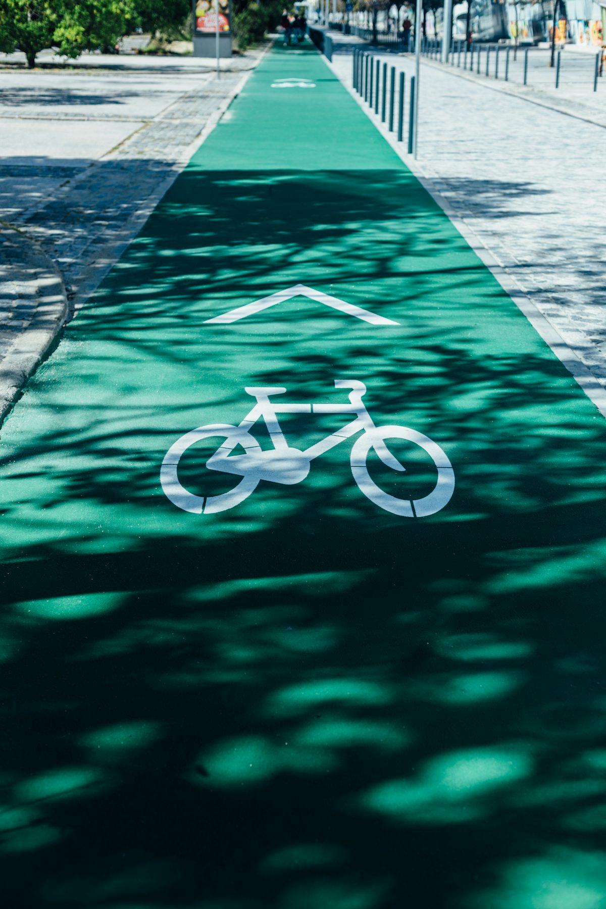
Chambéry to Challes-les-Eaux: 7.7 flat kilometres on the Leysse then Planeurs greenways, all year. Almost entirely traffic-free — a cycle-lane start and one main-road crossing.
 Free
Free
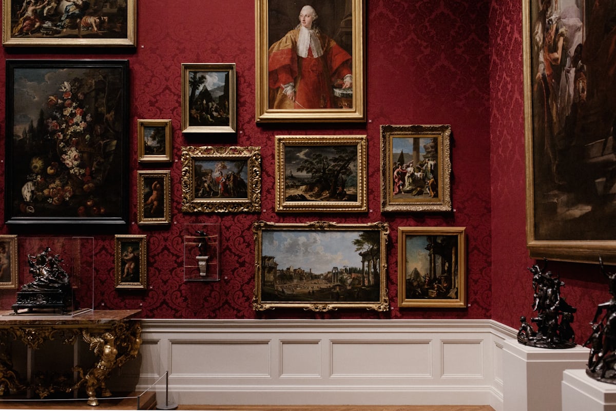
Chambéry's fine-arts museum: free permanent collections, exhibitions at €5.50, free on the first Sunday of the month. Official sources only.
 Free
Free
The Lac du Bourget's lakeside path: 4 km at water level between Aix-les-Bains, Tresserve and Viviers-du-Lac, wheelchair accessible without assistance.
 Free
Free
The Dent du Chat (1,390 m) above the Lac du Bourget: three official routes, 2 to 6 hours, an exposed final section not advised for children. Official sources.
 Free
Free
The Lac d'Aiguebelette circuit on foot: 3 days, 60.4 km, +2,467 m, rated difficult — not to be confused with the 17 km cycling loop. Official sources.
 Nature MuseumGruffy · 21 km
On Loisirs 74
Nature MuseumGruffy · 21 km
On Loisirs 74 Follow the FlyAlby-sur-Chéran · 23 km