
A restaurant in Chambéry?
Hosting visitors of Voie verte de la Leysse et des Planeurs ? Appear here.
Become a partnerChambéry to Challes-les-Eaux almost car-free — 7.7 flat kilometres, 39 m of ascent, open all year: the commute as much as the Sunday ride.

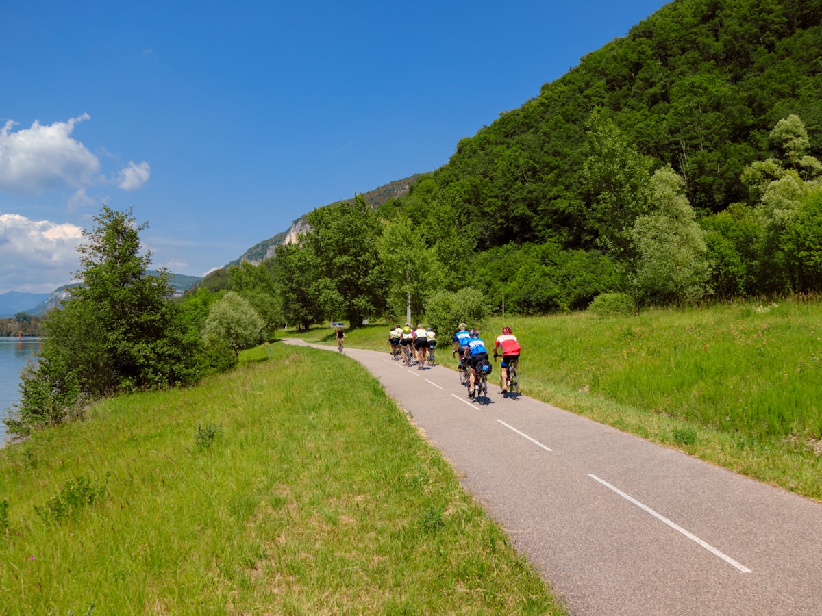
From Chambéry to the Challes-les-Eaux lake, the Leysse greenway and then the Planeurs greenway make up 'a completely flat route, almost entirely on dedicated infrastructure. Perfect for a stroll, or for getting to work without a car!' The official figures: 'Distance 7.7 km / Ascent 39 m', one way, between 279 and 312 m.
The word 'almost' matters, and the tourist office does not hide it: 'Leaving the town centre the route follows a cycle lane through the centre before joining the greenway', and 'a departmental road crossing (secured with lights) has to be made on the approach to Saint-Alban'. So it is not fully separated from traffic — worth knowing with young children. From the centre you follow the quai Charles Ravet then the quai de la Rize, guided by the Synchrovélo waymarking of the area's Pistes Bleues network.
'All year round': no seasonal closure is announced. Temporary closures for works have affected these paths before — resurfacing on the Planeurs greenway, works on several greenways across the area: a glance at Grand Chambéry's news before setting out saves a U-turn.
Hosting visitors of Voie verte de la Leysse et des Planeurs ? Appear here.
Become a partnerShare hours and specialties with visitors of Voie verte de la Leysse et des Planeurs.
Become a partnerGîte, B&B, campsite, rental in Chambéry.
Become a partnerBeen there? Share your photos — we'll add them to this page with credit. Tag #loisirs73 or email photos@loisirs73.fr
Almost, and the official listing says so plainly: 'almost entirely on dedicated infrastructure'. Two caveats, also published — a start on a cycle lane in central Chambéry, and a departmental road crossing (secured with lights) approaching Saint-Alban.
7.7 km one way for 39 m of ascent, between 279 and 312 m. It is flat: that is the only official figure published.
Yes, no seasonal closure is announced. Temporary closures for works have occurred on these paths: Grand Chambéry's news pages flag them.
The official listing includes a car park and bike parking among its facilities, without publishing the exact location or the price. The route starts in central Chambéry, reachable by train.
Parking: Car park and bike parking (location and price unpublished).
Best time: All year.
Multi-source verification at publication. Information may change — confirm with the official operator before travelling.
Nearby
Other places to explore in the area and in the same category
 Free
Free
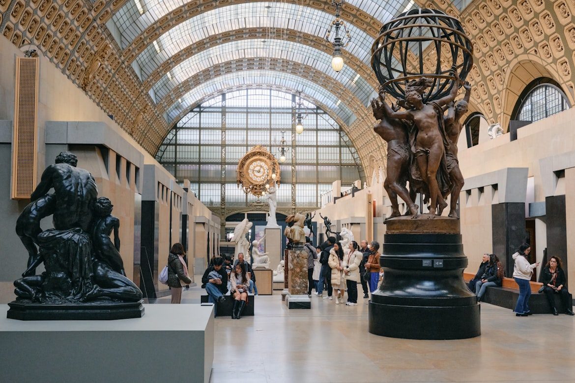
The Musée Savoisien in Chambéry: free entry, the history and cultures of Savoie, open cloister. Hours and closures from official sources.
 Free
Free
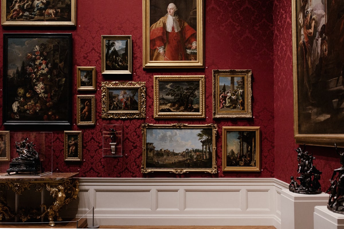
Chambéry's fine-arts museum: free permanent collections, exhibitions at €5.50, free on the first Sunday of the month. Official sources only.
 Paid
Paid
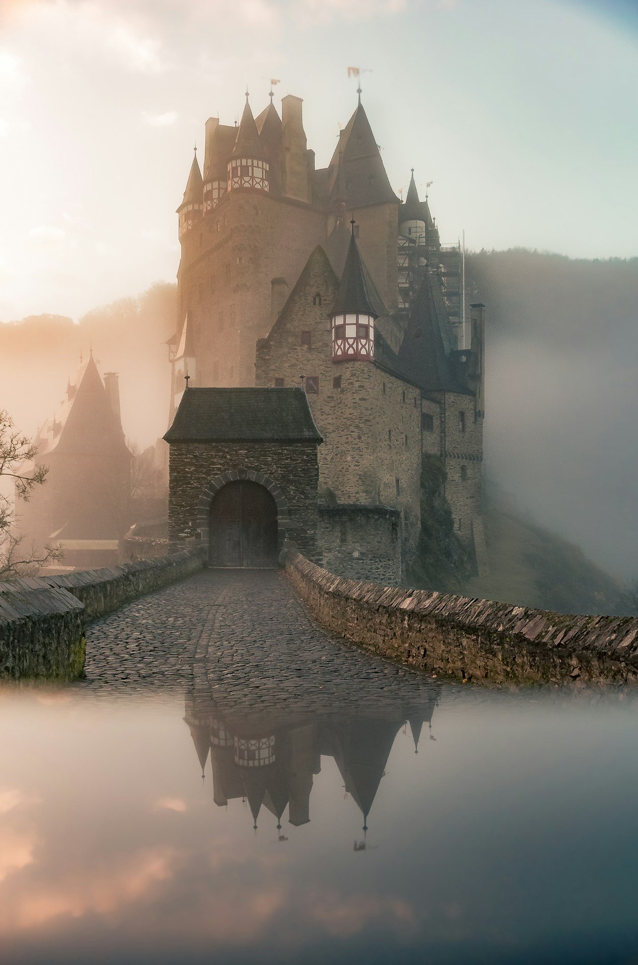
The dukes of Savoy's castle in Chambéry: 15th-century Sainte-Chapelle, 70-bell Grand Carillon, 2026 guided tours at €7.50. Official sources only.
 Free
Free
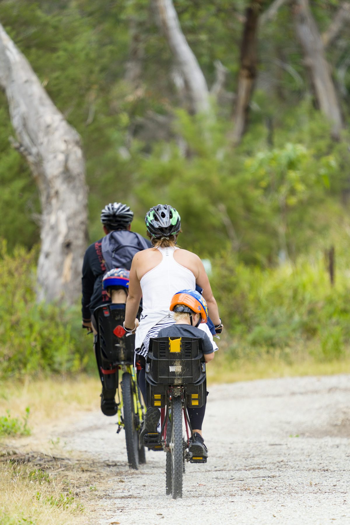
The reserved greenway of Lac d'Aiguebelette, car-free heart of the lake loop (16.9 km, easy). Free, open all year, dogs on a leash.
 Free
Free
The car-free greenway along Lac du Bourget between Aix-les-Bains and Chambéry (V63 / La Belle Via). Free, smooth asphalt, open all year subject to weather.
Free
ViaRhôna at the Champagneux dam: the Rhône bank for families, by bike, on foot or with a pushchair — the one Savoie greenway an official source confirms for pushchairs. Belley – Groslée stage, 36 km.
 Nature MuseumGruffy · 27 km
On Loisirs 74
Nature MuseumGruffy · 27 km
On Loisirs 74 Follow the FlyAlby-sur-Chéran · 29 km