
A restaurant in Modane?
Hosting visitors of Chemin du Petit Bonheur ? Appear here.
Become a partnerThe ancestral path running village to village, from Modane to Bonneval-sur-Arc: mid-altitude, progressive climbs, yellow waymarks — a whole valley's family route.

The chemin du Petit Bonheur is 'an ancestral path running from village to village across the whole Haute Maurienne Vanoise' — from Modane to Bonneval-sur-Arc, via La Norma, Aussois, Val-Cenis and Bessans. A mid-altitude, accessible, well-waymarked route with progressive climbs on a wide, secure path: the tourist office presents it as 'the ideal itinerary for family hiking, for occasional walkers'.
The waymarking has its own charm: logs, footbridges and benches with their ends painted yellow, plus directional signs. No big climbs, no technical difficulty — the path 'can be walked a thousand ways': short loops of 1 to 3 hours from any village, or a 2-3 day traverse. A published section example: Lanslevillard–Bessans, 3h10 one way, return possible by bus.
On the total length, the tourist office contradicts itself from one page to the next: 'about 40 km' here, '50 kilometres of trails' there. We quote both figures. Advised periods: June to October. And since the route runs linear over dozens of kilometres, this page carries no GPS coordinates — no single point would honestly represent it.
June to October, the tourist office's advised periods. The valley's larches make autumn the path's golden season.
Hosting visitors of Chemin du Petit Bonheur ? Appear here.
Become a partnerShare hours and specialties with visitors of Chemin du Petit Bonheur.
Become a partnerGîte, B&B, campsite, rental in Modane.
Become a partnerBeen there? Share your photos — we'll add them to this page with credit. Tag #loisirs73 or email photos@loisirs73.fr
The tourist office itself publishes two figures: 'about 40 km' on one page, '50 kilometres of trails' on another. We give both as they stand.
Yes — 'the ideal itinerary for family hiking, for occasional walkers': mid-altitude, progressive climbs, a wide secure path, no technical difficulty.
No: the path 'can be walked a thousand ways' — short 1-3 hour loops from each village, or a 2-3 day valley traverse.
By the logs, footbridges and benches with their ends painted yellow, completed by directional signs.
On some sections, yes — the tourist office cites Lanslevillard–Bessans: 3h10 one way, then a possible bus return.
Parking: Multiple starts from every village in the valley.
Access: Free.
Best time: Advised periods: June to October (tourist office).
Multi-source verification at publication. Information may change — confirm with the official operator before travelling.
Nearby
Other places to explore in the area and in the same category
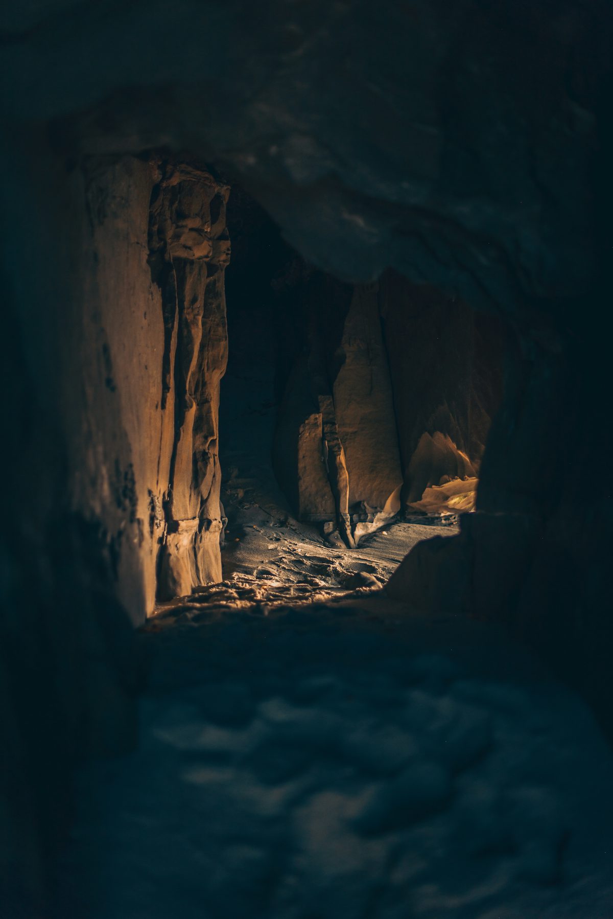 Paid
Paid
Le Grand Filon, musée du fer, Saint-Georges-d'Hurtières, Savoie: Paid, Published season. Official sources, discrepancies flagged.
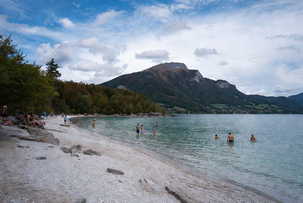 Free
Free
The Grésy-sur-Isère lake: free access, Pavillon Bleu laureate, supervised summer swimming 12:00–18:00. Official sources, 2026 dates.
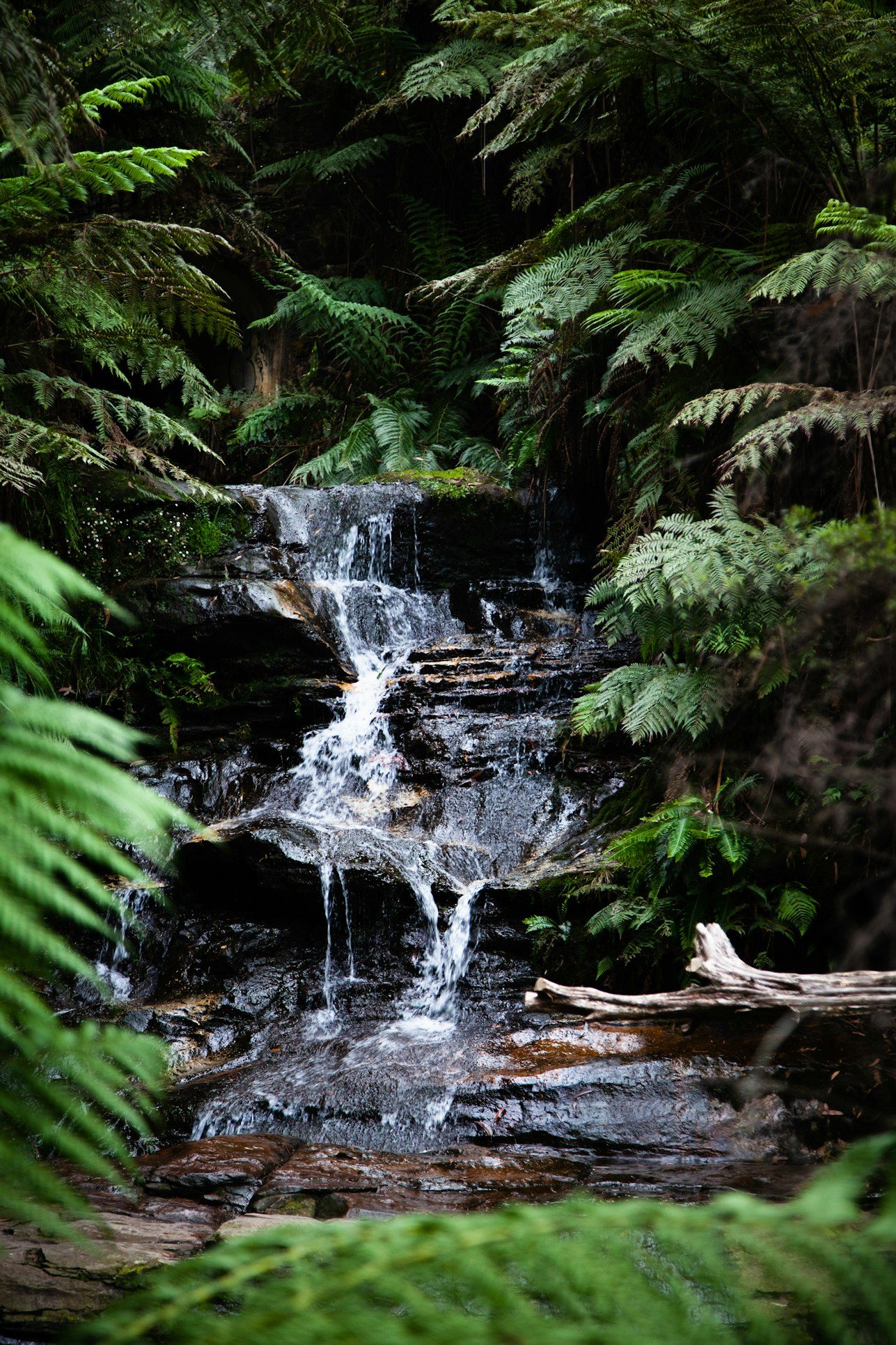 Free
Free
A 90 m fall on the Esseillon forts tourist road, by the Saint-Benoît chapel. Free; road closed in winter, one-way uphill in summer, very limited parking.
 Free
Free
The Hautecour artistic trail in the Tarentaise: land art renewed each spring, an easy 4.3 km loop or a 700 m comfort version. Official sources only.
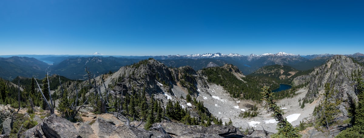 Free
Free
The croix du Nivolet from the Plateau Sud (La Féclaz): a 9.2 km loop, 360° panorama over Chambéry, winter snowshoe version. Official sources only.
 Free
Free
The Rosière lake loop at Courchevel: an easy 1.8 km in 1 h, stroller-accessible, a footbridge over the lake and a botanical trail. The longer, 'difficult' winter version is quoted too.