
A restaurant in La Thuile?
Hosting visitors of Lac de La Thuile ? Appear here.
Become a partnerAt 874 m in the lower Bauges, a small reed-fringed lake 'that has kept its charm and its wild side' — an easy 45-minute loop, regulated fishing, and a swimming question on which the sources disagree.

The Lac de La Thuile sits in a Bauges vale above the Combe de Savoie: 'this small alpine lake lies at 874 m altitude in an idyllic setting. Fringed with reeds, it has kept its charm and its wild side' — the town hall and the tourism sheet agree on those words, though the same Chambéry Montagnes sheet displays 880 m in its header; we report both values. About 5 hectares, up to 12 m deep, within the Massif des Bauges regional nature park; the site, a classified Sensitive Natural Area, is reserved for pedestrians.
On swimming, the sources do not say the same thing, and we do not arbitrate: the tourism sheets write 'swimming is forbidden there', while the town hall writes 'swimming is neither laid out nor supervised. It remains tolerated at users' own risk, but is strictly forbidden in periods of frost'. The same caution applies to dogs: 'kept on a leash' per the town hall, 'not accepted' per the tourism sheet.
'Prefer the peaceful mood of spring and autumn', advises Chambéry Montagnes. The lake loop — 2 km, +39 m, about 45 minutes — starts from the village-hall car park in the chef-lieu; occasionally wet sections, suitable shoes recommended. Fishing is allowed from 1 May to 15 November in a defined zone, with the local permit sold at the town hall or the Auberge du Lac: the lake is 'a private space whose initial purpose is to be a fish reserve declared at the Préfecture'.
Hosting visitors of Lac de La Thuile ? Appear here.
Become a partnerShare hours and specialties with visitors of Lac de La Thuile.
Become a partnerGîte, B&B, campsite, rental in La Thuile.
Become a partnerBeen there? Share your photos — we'll add them to this page with credit. Tag #loisirs73 or email photos@loisirs73.fr
The sources contradict each other, and we quote them as they stand: 'swimming is forbidden there' (tourism sheets); 'it remains tolerated at users' own risk, but is strictly forbidden in periods of frost' (town hall). Either way it is neither laid out nor supervised.
About 45 minutes: an easy 2 km loop (+39 m) from the village-hall car park, with views over the Bauges massif. Occasionally wet sections.
Yes, from 1 May to 15 November, in a defined zone, with the local permit sold at the town hall or the Auberge du Lac — the lake is a private space intended as a declared fish reserve.
Yes: classified as a Sensitive Natural Area, reserved for pedestrians, with waymarked paths that must be respected. Parking is limited in the village (two laid-out areas).
Access: Free.
Best time: Spring and autumn (tourist-office advice).
Dogs: Sourced contradiction: on a leash (town hall) / not accepted (tourism sheet).
Multi-source verification at publication. Information may change — confirm with the official operator before travelling.
Nearby
Other places to explore in the area and in the same category
 Paid
Paid
Musée de la vigne et du vin de Savoie, Montmélian, Savoie: Paid, Calendar with no year on it. Official sources, discrepancies flagged.
 Free
Free
The towers of Chignin, a listed monument in Savoie's vineyards: seven towers per the Département, a very easy 3.3 km loop. Official sources only.
 Free
Free
Tours de Montmayeur, Villard-Sallet, Savoie: Free, All year, every day. Official sources, discrepancies flagged.
 Free
Free
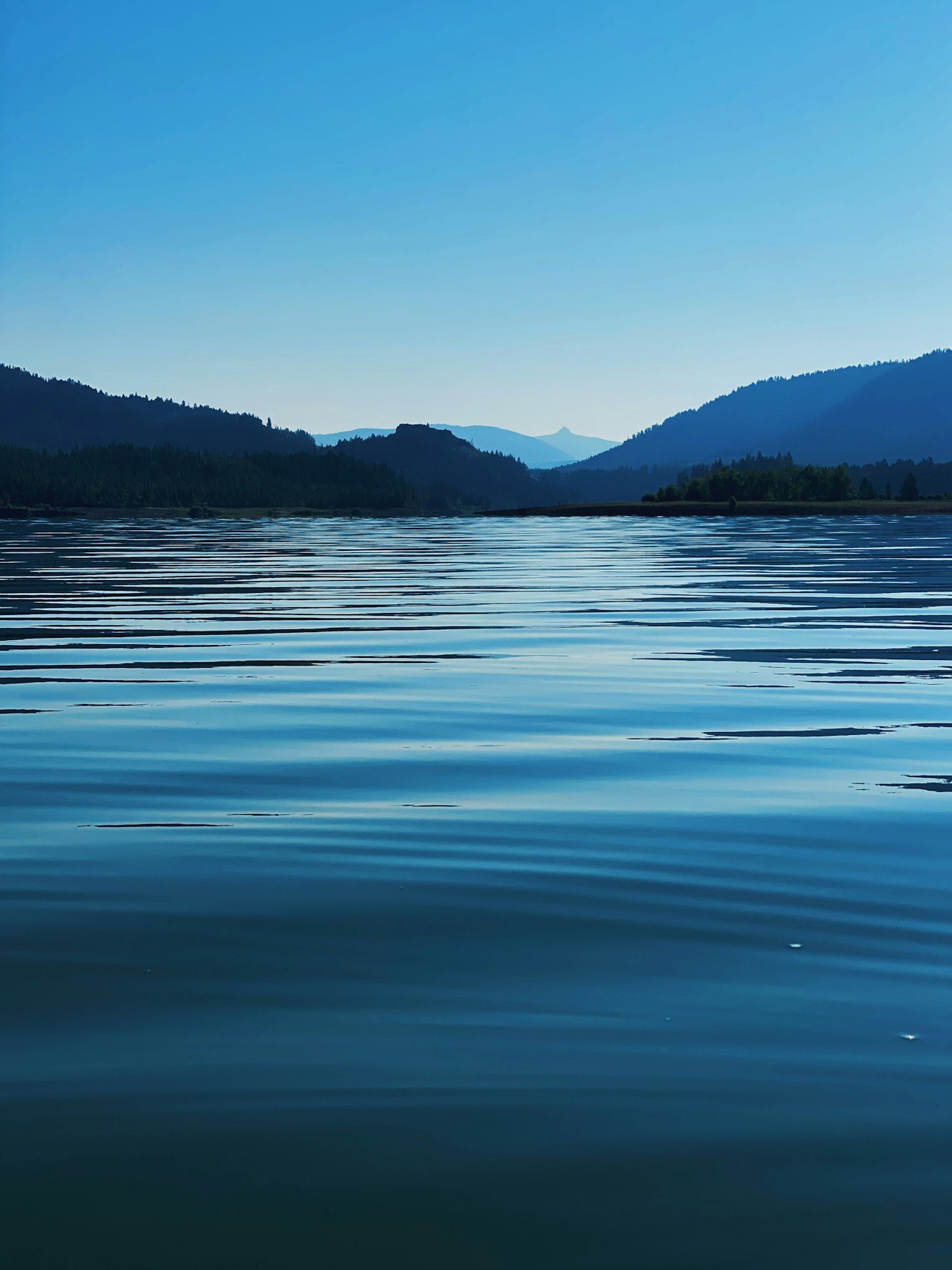
The Lac de Sainte-Hélène (Cœur de Savoie): swimming forbidden, reciprocal fishing (no-kill carp), wheelchair-accessible lake loop, herons and bee-eaters in the wetland. Free access all year.
 Free
Free
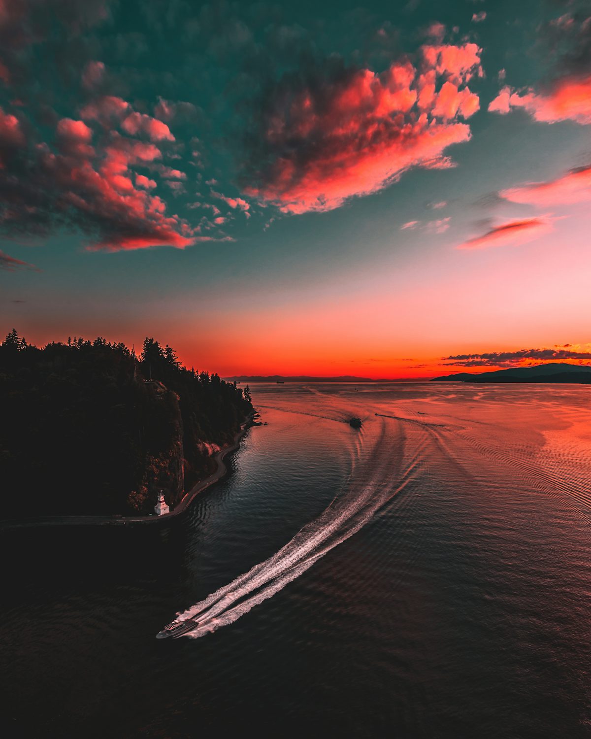
The Lac Saint-André below the Granier: free access, year-round lake loop, unsupervised tolerated swimming, fishing 7 March – 6 December 2026.
 Free
Free
The Lac de Carouge at Saint-Pierre-d'Albigny: free beach, supervised swimming in July-August (13:00–19:00), paid summer parking. Official sources.
 Nature MuseumGruffy · 29 km
On Loisirs 74
Nature MuseumGruffy · 29 km
On Loisirs 74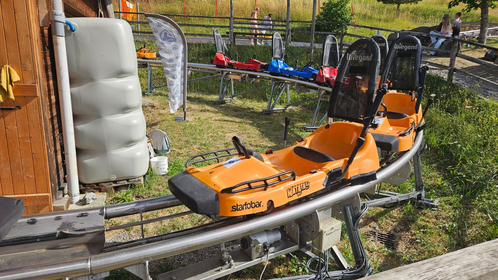 Luge d'été de La SambuyFaverges-Seythenex · 29 km