
A restaurant in Val-Cenis?
Hosting visitors of Lac du Mont-Cenis ? Appear here.
Become a partnerThe great turquoise lake of the border plateau: 320 million m³ held by France's biggest rockfill dam, a water-sports base billed as 'Europe's highest', the five-hour walk round — and a swimming ban that is not negotiable.

The Lac du Mont-Cenis fills the col's plateau at the Italian border, in the commune of Val-Cenis. It is an EDF reservoir: 'the Mont-Cenis dam offers a storage of 320 million m³ of water', behind a structure '120 metres high and 1.4 km long', built between 1962 and 1969 — 'the largest rockfill dam in France', and the country's last guarded dam, owing to its border position; the reservoir is shared roughly 1/5 for Italy and 4/5 for France. On altitude, official sources vary — 'over 1979 metres' (EDF), '2000 m' (tourist offices) — and we report both.
'For safety reasons, swimming is forbidden' — the sentence is the tourist office's. The lake is lived differently: a kayak-and-pedalo base billed as 'the highest in Europe', the walk round ('allow 5 hours'), the Fort de Ronce via the Sentier des 2000, the Alpine Garden 'free to visit in summer', and regulated fishing (trout, char, lake trout). Early in the season the drawdown bares the shores widely: in early June 2026 the reservoir was only 58% full.
From late May to early November: the col road opened on 22 May 2026 and is scheduled to close on 9 November 2026 (the local rule: from the 2nd Friday of May to the 2nd Monday of November). In winter the road largely becomes a ski run — L'Escargot, 'Europe's longest green run' (11 km). Mountain-lake fishing opened on 6 June 2026; boat fishing is allowed on Saturdays under conditions since 2023.
Hosting visitors of Lac du Mont-Cenis ? Appear here.
Become a partnerShare hours and specialties with visitors of Lac du Mont-Cenis.
Become a partnerGîte, B&B, campsite, rental in Val-Cenis.
Become a partnerBeen there? Share your photos — we'll add them to this page with credit. Tag #loisirs73 or email photos@loisirs73.fr
No: 'for safety reasons, swimming is forbidden' (Val Cenis tourist office). The water stays very cold, and the level varies strongly. Supervised paddling — kayak, pedalo — happens at the water-sports base.
'It is possible to walk round the lake (allow 5 h)', states Haute Maurienne Vanoise. The Fort de Ronce is easily reached in summer via the Sentier des 2000.
In 2026: open since 22 May, closure scheduled 9 November. The local rule runs from the 2nd Friday of May to the 2nd Monday of November; in winter the road partly becomes the L'Escargot ski run (11 km).
Permit required (day, week or year); minimum size 23 cm for trout and char, 35 cm for lake trout — present in the Mont-Cenis —, quota of 6 fish per day per angler. Mountain lakes opened on 6 June in 2026.
Access: Free.
Multi-source verification at publication. Information may change — confirm with the official operator before travelling.
Nearby
Other places to explore in the area and in the same category
 Free
Free
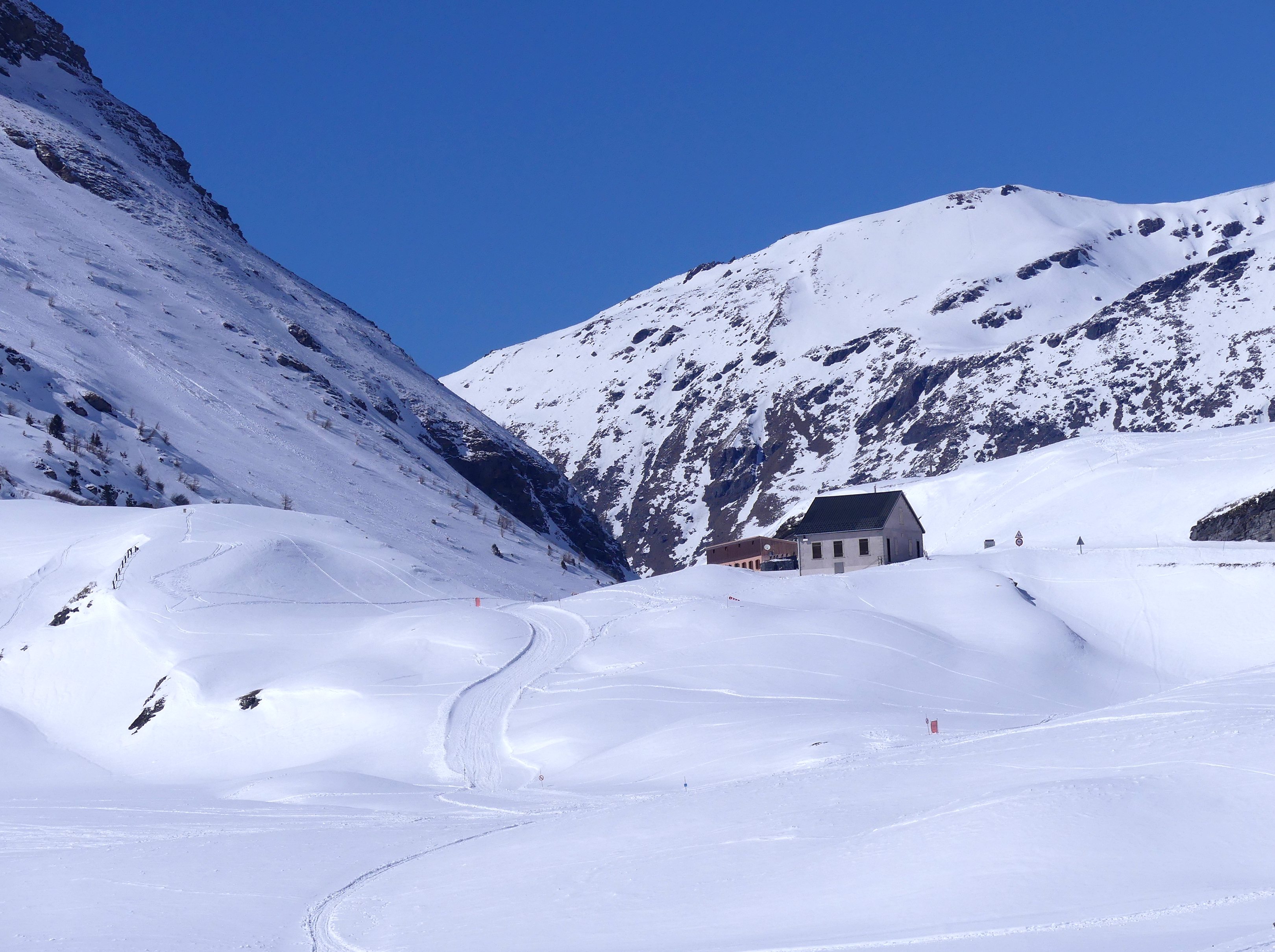
Upper Maurienne pass above a hydroelectric reservoir. Three published altitudes (2,081, 2,083, 2,085 m). Entirely in France since 1947, despite what you will read.
 Paid
Paid
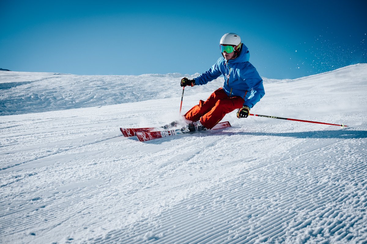
Val Cenis: three ski-in villages, 125 km of runs from 1,300 to 2,800 m, Europe's longest green run (the 10 km Escargot) — and free Nordic at the Val d'Ambin and Termignon. 2026-27 season from mid-December.
 Free
Free
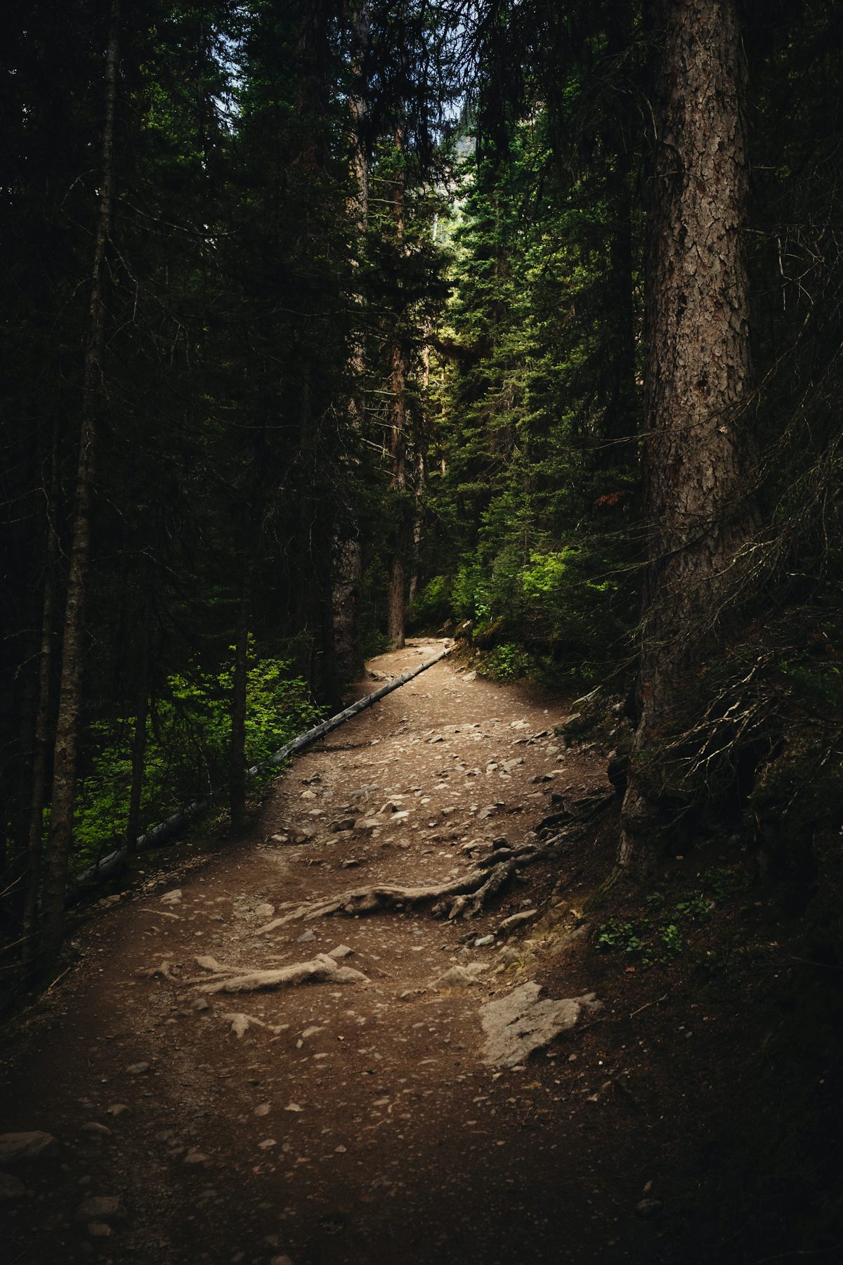
The Sardières monolith: a 93 m cargneule spire in the pine forest, a family loop via the Biches trail, the waymarked snowshoe version — and the national park's dog ban.
 Free
Free
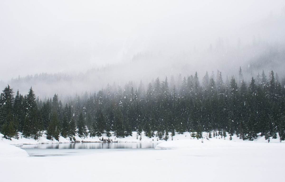
The natural lake of Tignes, at 2100 m in the resort's heart: swimming banned by permanent decree, Acroland and the water-sports base, trout fishing, floating concerts — and winter on the frozen lake.
 Free
Free
Lac de la Plagne (Peisey-Nancroix, Savoie), 2 144 m: Not a declared bathing site, unsupervised. Official sources, discrepancies flagged.
 Free
Free
Lac de Tuéda (Les Allues, Savoie): Not a declared bathing site, unsupervised. Official sources, discrepancies flagged.