
A restaurant in Saint-Sorlin-d'Arves?
Hosting visitors of Col de la Croix de Fer ? Appear here.
Become a partnerThe Col de la Croix de Fer links the Maurienne, at Saint-Jean-de-Maurienne, to the Oisans, in the Isère. It must not be confused on any point with the Col du Glandon, three kilometres to the west, which shares its road until the last two hundred metres.

The Col de la Croix de Fer lies in the commune of Saint-Sorlin-d'Arves (73530), in Savoie, per IGN. It links the Maurienne valley, to the east, with the Oisans, to the west, in the Isère. The road is written RD926 by Vélo Maurienne and D926 by other sources on the Savoie side; on the Isère side the préfecture writes D526.
Its altitude is not settled: four figures circulate — 2,064, 2,065, 2,067 and 2,068 m — each carried by serious sources. No IGN elevation data could be obtained. We do not pick a winner.
Its immediate neighbour is the Col du Glandon, three kilometres to the west, at 1,924 m, on the RD927: the Glandon's south-west approach shares its road with the Croix de Fer except for the last two hundred metres. The two cols do not share an altitude, a road number, or an opening date — a month apart in 2026.
On the RD926 from Saint-Jean-de-Maurienne to the east, or the D526 from Vaujany and the Oisans to the west. Closed in winter. Live status on savoie-route.fr for the Savoie side.
Open in MapsFrom Saint-Jean-de-Maurienne: 29.3 km at 6% average for 1,620 m of climbing, with three consecutive tunnels between kilometres 12 and 13. From Allemond: 29 km, +1,507 m, 6.5% average. From Le Bourg-d'Oisans: 31 km and +1,576 m per the Bourg d'Oisans tourist office (the Allemond figure is Route des Grandes Alpes). These figures only mean anything alongside their starting point. The Tour de France crosses on 25 July 2026, stage 20.
Open in MapsThe road is open from late May to early November. In 2026 the announced opening is 20 May, under alternating traffic. No closing date is published. The neighbouring Col du Glandon opened a month later, on 19 June, and only from Saint-Colomban-des-Villards.
L'Étape du Tour on 19 July 2026 and stage 20 of the Tour de France on 25 July 2026 both close the D526 between Vaujany and the col.
Hosting visitors of Col de la Croix de Fer ? Appear here.
Become a partnerShare hours and specialties with visitors of Col de la Croix de Fer.
Become a partnerGîte, B&B, campsite, rental in Saint-Sorlin-d'Arves.
Become a partnerBeen there? Share your photos — we'll add them to this page with credit. Tag #loisirs73 or email photos@loisirs73.fr
Sources give four figures: 2,064, 2,065, 2,067 and 2,068 m. The Saint-Sorlin-d'Arves tourist office writes 2,067 m. No IGN elevation data could be obtained, so we do not pick a winner.
No. The Glandon is three kilometres to the west, at 1,924 m, on the RD927. The two roads are shared except for the last two hundred metres. In 2026 the Croix de Fer opened a month before the Glandon.
The Département de la Savoie announced an opening on 20 May 2026, under alternating traffic. We found no source confirming it actually opened that day. Check savoie-route.fr before setting off.
A chalet appears in search results but all of its pages are inaccessible to us. We publish neither its existence, nor its hours, nor its season. Confirmed: free parking, a picnic area and an orientation table.
Not in 2026. The official site for the 28 June 2026 event lists the Col du Glandon, the Télégraphe, the Galibier, the Lautaret and Alpe d'Huez. The Tour de France, on the other hand, crosses both cols on 25 July 2026.
Parking: Free, motorhomes allowed.
Access: Free.
Best time: Late May – early November.
Multi-source verification at publication. Information may change — confirm with the official operator before travelling.
Nearby
Other places to explore in the area and in the same category
 Free
Free
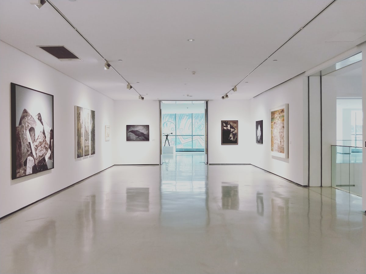
The Opinel museum in Saint-Jean-de-Maurienne: free entry, 700 m² on Joseph Opinel's Savoyard knife, fully step-free and accessible.
 Free
Free
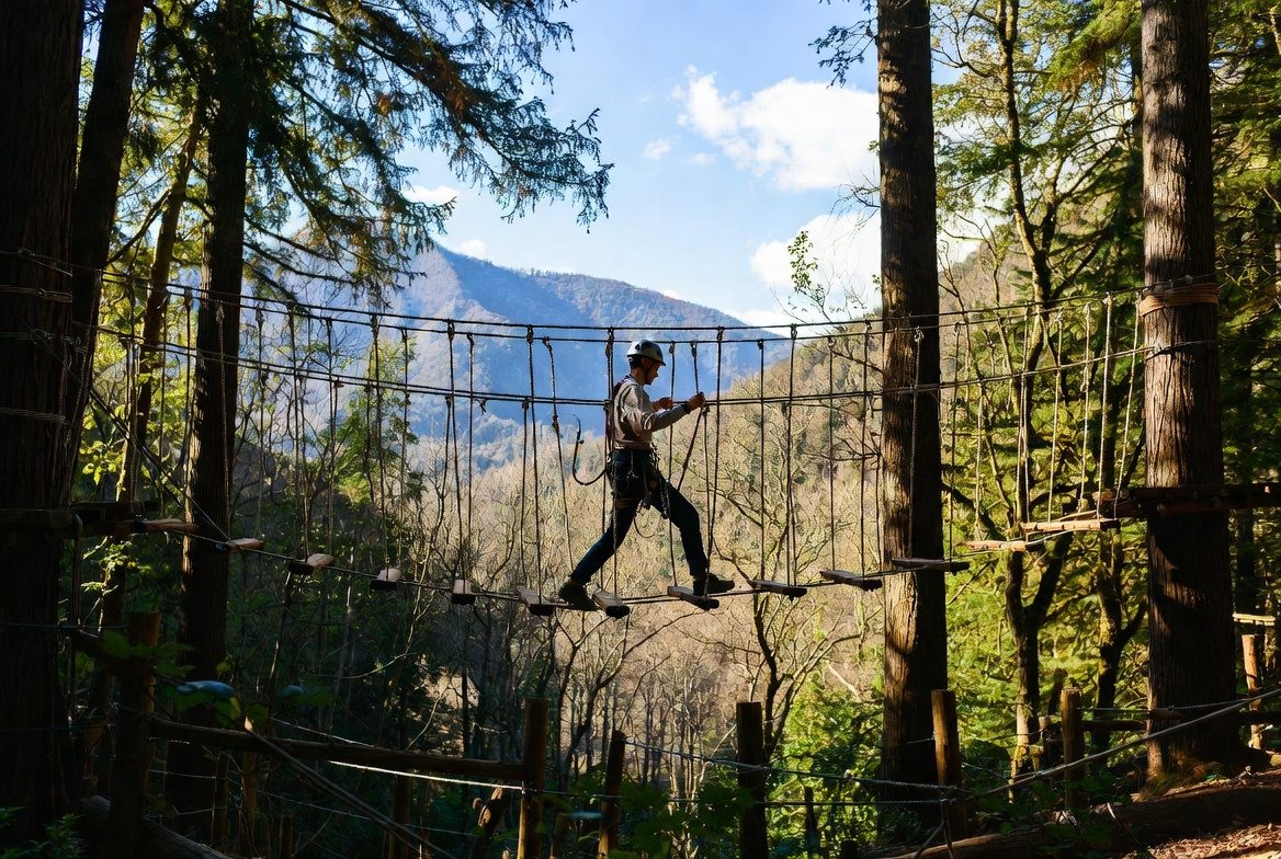
Adventure park at Saint-Jean-de-Maurienne: six courses, 100 workshops, 120 m ziplines — and every course's height threshold, from 90 cm to 1.30 m. Free parking, animals accepted, stroller accessible.
 Free
Free
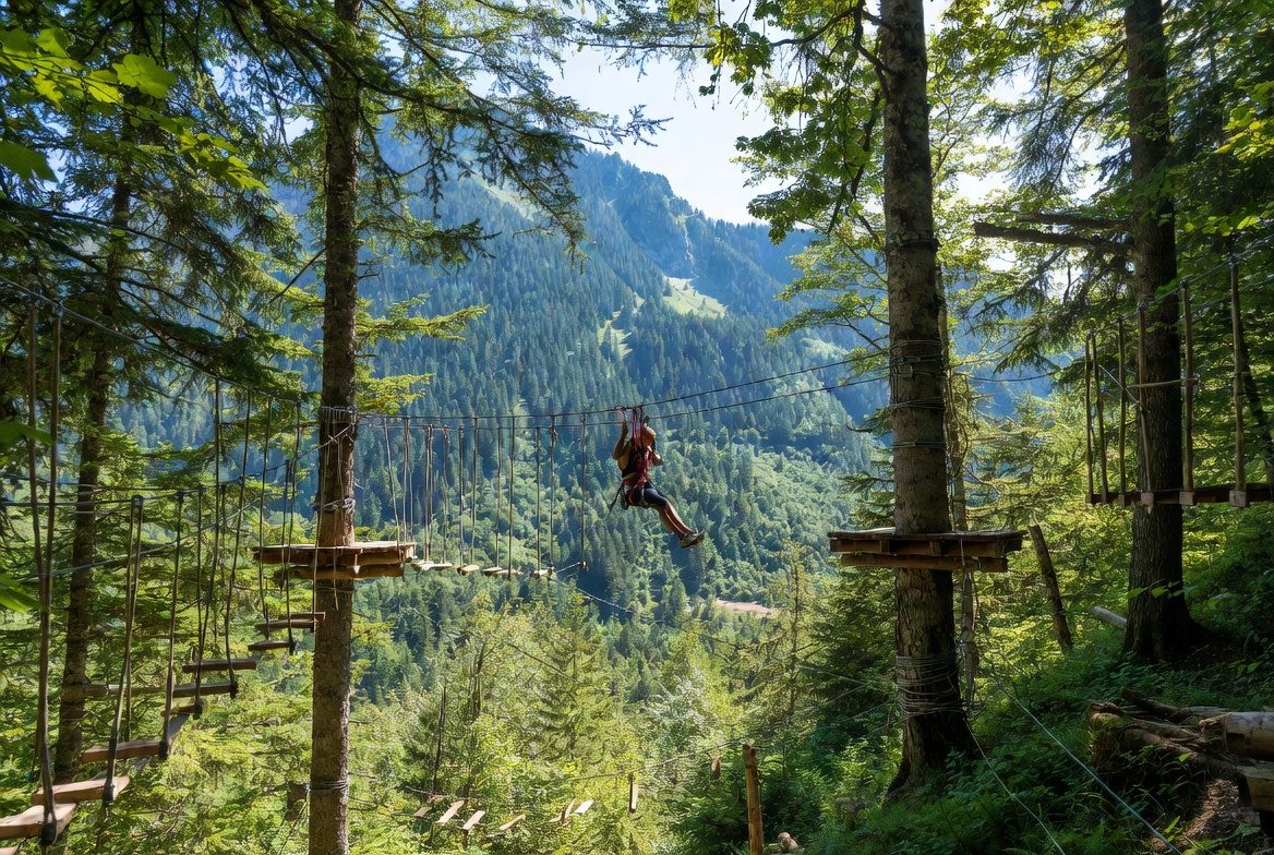
La Forêt de l'Enfer adventure park at Valloire: 75 workshops over six courses, children from age 2 under 1.30 m (€10), adults above (€20). 2026 season: 5 July to 28 August, closed Saturdays.
 Free
Free
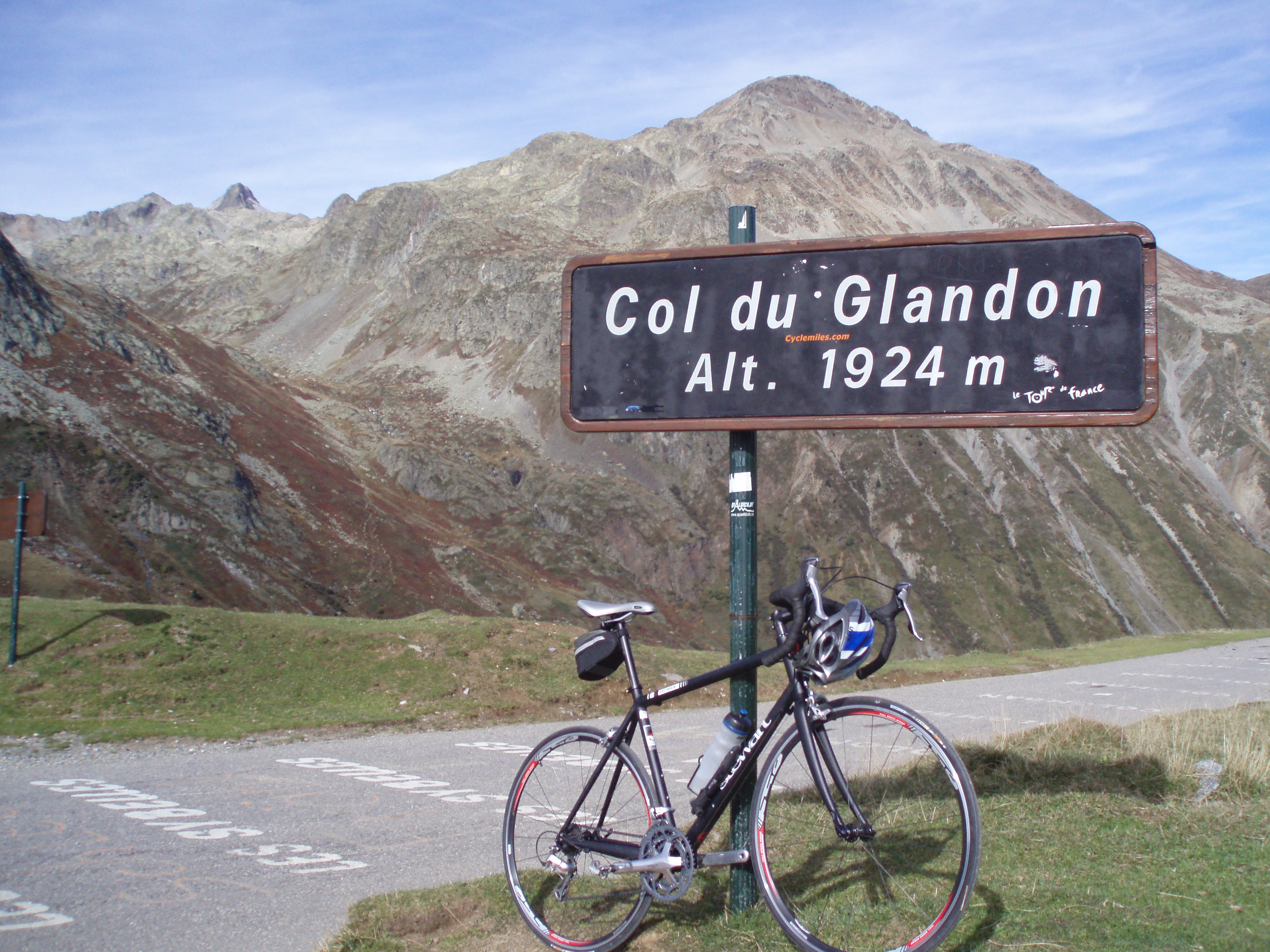
Pass at 1,924 m between the Isère and the Savoie, 2.5 km from the Croix de Fer. In 2026, access from Saint-Colomban-des-Villards did not open before 19 June.
 Free
Free
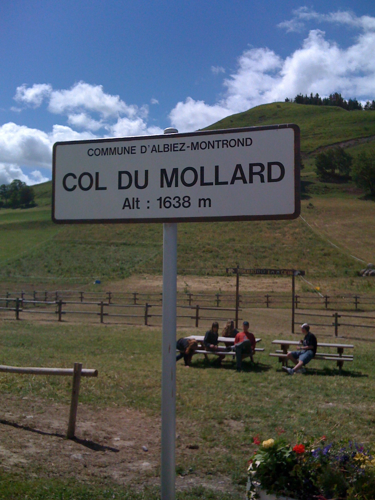
Pass at 1,638 m above Albiez-Montrond, known for its 45 hairpins. A lake and a fountain at the top; no supervised swimming is documented.
 Free
Free
Pass at 1,533 m above the Maurienne, famous for the Lacets de Montvernier: 17 or 18 hairpins depending on the source. 14 km at 7.5% to the top.