
A restaurant in Albiez-Montrond?
Hosting visitors of Col du Mollard ? Appear here.
Become a partnerThe Col du Mollard opens onto the hamlet of the same name above Albiez-Montrond, below the Aiguilles d'Arves. Forty-five hairpins, on a source nobody corroborates.

The Col du Mollard is given as 1,638 m by Maurienne Tourisme and 1,630 m by cols-cyclisme. It opens onto the hamlet of Le Mollard, the upper part of the village of Albiez-Montrond, below the Aiguilles d'Arves.
Its reputation rests on its 45 hairpins — a figure that comes from a single family of sources and that no independent page consulted recounts. The climb is about 12 km at 6 or 7% average, a range suggesting the sources aggregate two different sides.
A lake sits right beside the pass and the sources say you can swim in it. None mentions supervision, a season or water quality: this page records the lake, not a supervised swim.
Via Albiez-Montrond from the Arc valley. No source consulted gives a road number or an opening period.
Open in MapsAbout 12 km at 6 or 7% average with 45 hairpins. The gradient range suggests the sources aggregate several sides: climbs from Saint-Jean-de-Maurienne, via Albiez-Montrond, or via Albiez-le-Jeune and the Col de la Confrérie.
Open in MapsNo source consulted publishes an opening period. At 1,638 m the road is likely affected by snow, but nothing is documented: check before going up out of season.
Hosting visitors of Col du Mollard ? Appear here.
Become a partnerShare hours and specialties with visitors of Col du Mollard.
Become a partnerGîte, B&B, campsite, rental in Albiez-Montrond.
Become a partnerBeen there? Share your photos — we'll add them to this page with credit. Tag #loisirs73 or email photos@loisirs73.fr
Two figures: 1,638 m per Maurienne Tourisme, 1,630 m per cols-cyclisme. Eight metres apart, unarbitrated.
The sources say 45 hairpins. The figure comes from one family of pages and has not been recounted by any independent source consulted.
A lake sits beside the pass and the sources say you can swim in it, but none mentions supervision, a season or water-quality testing. Nothing supports advertising it as a managed swimming spot.
No source consulted publishes an opening or closing period for the road.
Crossings are reported in 2006, 2012 and 2015 by secondary sources, unconfirmed by any official source.
Access: Free.
Multi-source verification at publication. Information may change — confirm with the official operator before travelling.
Nearby
Other places to explore in the area and in the same category
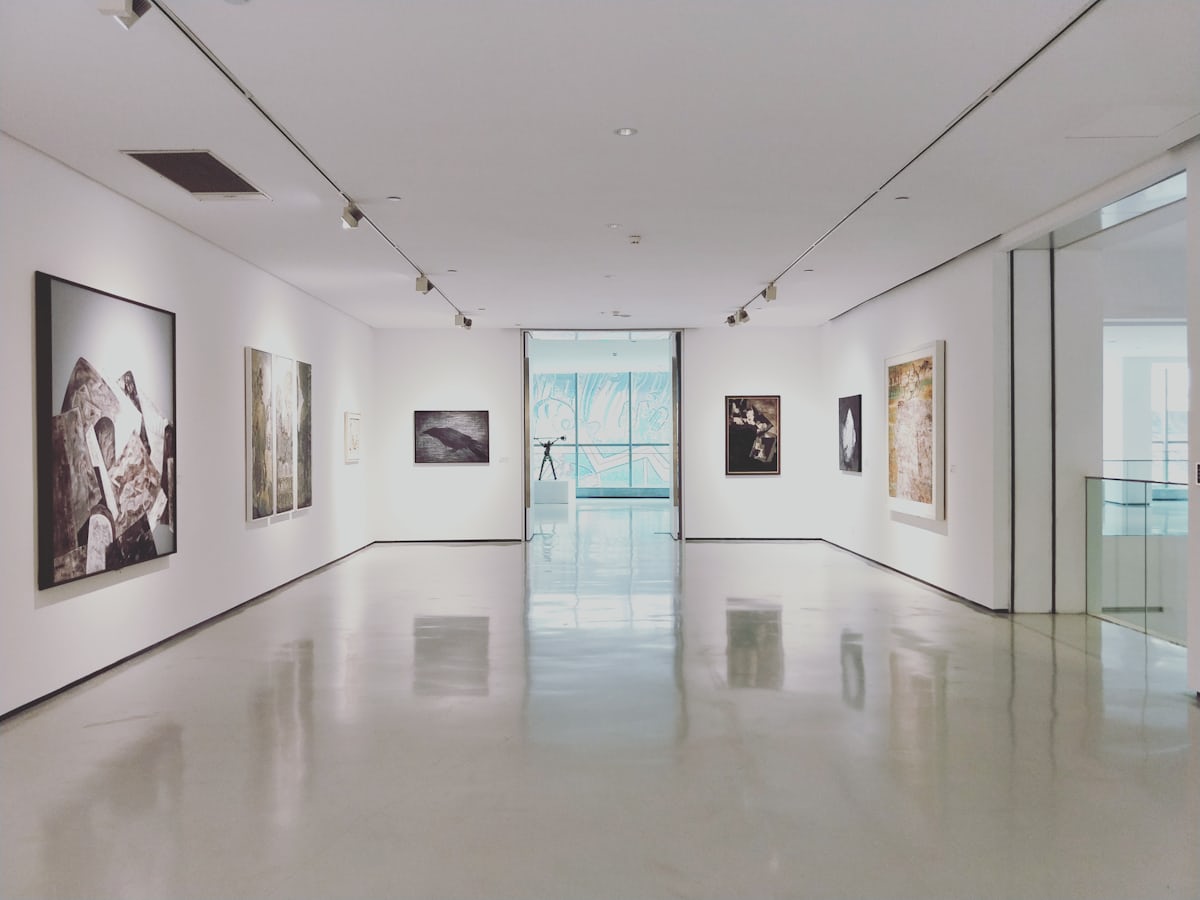 Free
Free
The Opinel museum in Saint-Jean-de-Maurienne: free entry, 700 m² on Joseph Opinel's Savoyard knife, fully step-free and accessible.
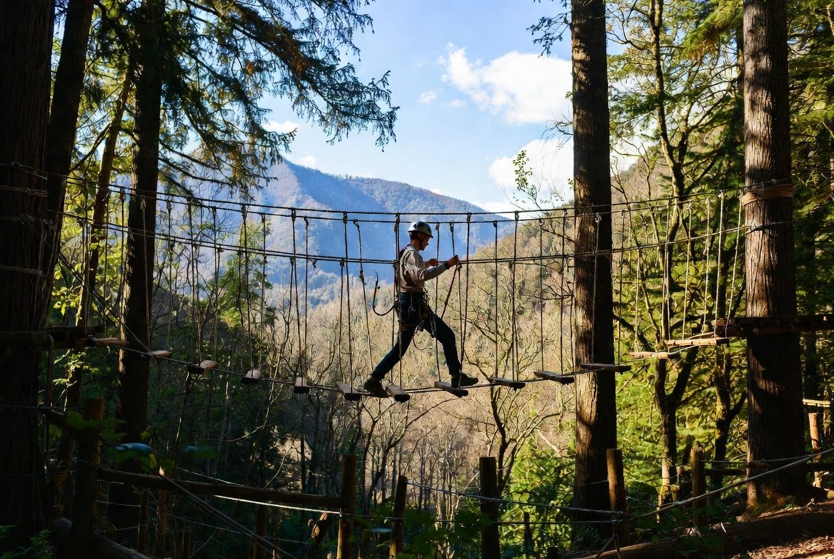 Free
Free
Adventure park at Saint-Jean-de-Maurienne: six courses, 100 workshops, 120 m ziplines — and every course's height threshold, from 90 cm to 1.30 m. Free parking, animals accepted, stroller accessible.
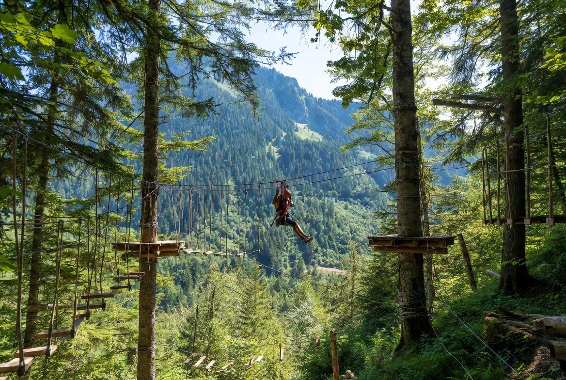 Free
Free
La Forêt de l'Enfer adventure park at Valloire: 75 workshops over six courses, children from age 2 under 1.30 m (€10), adults above (€20). 2026 season: 5 July to 28 August, closed Saturdays.
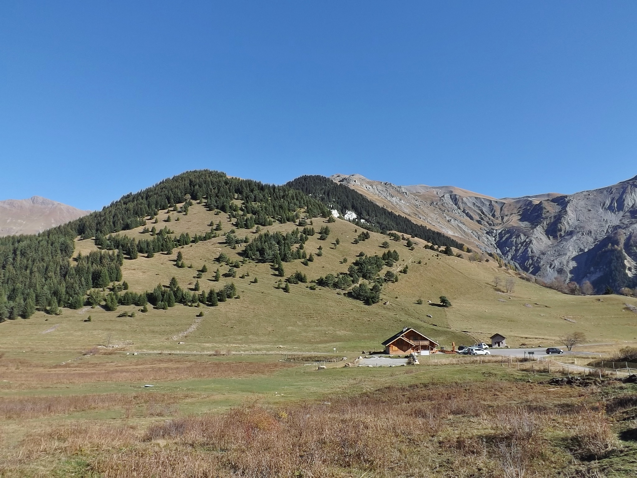 Free
Free
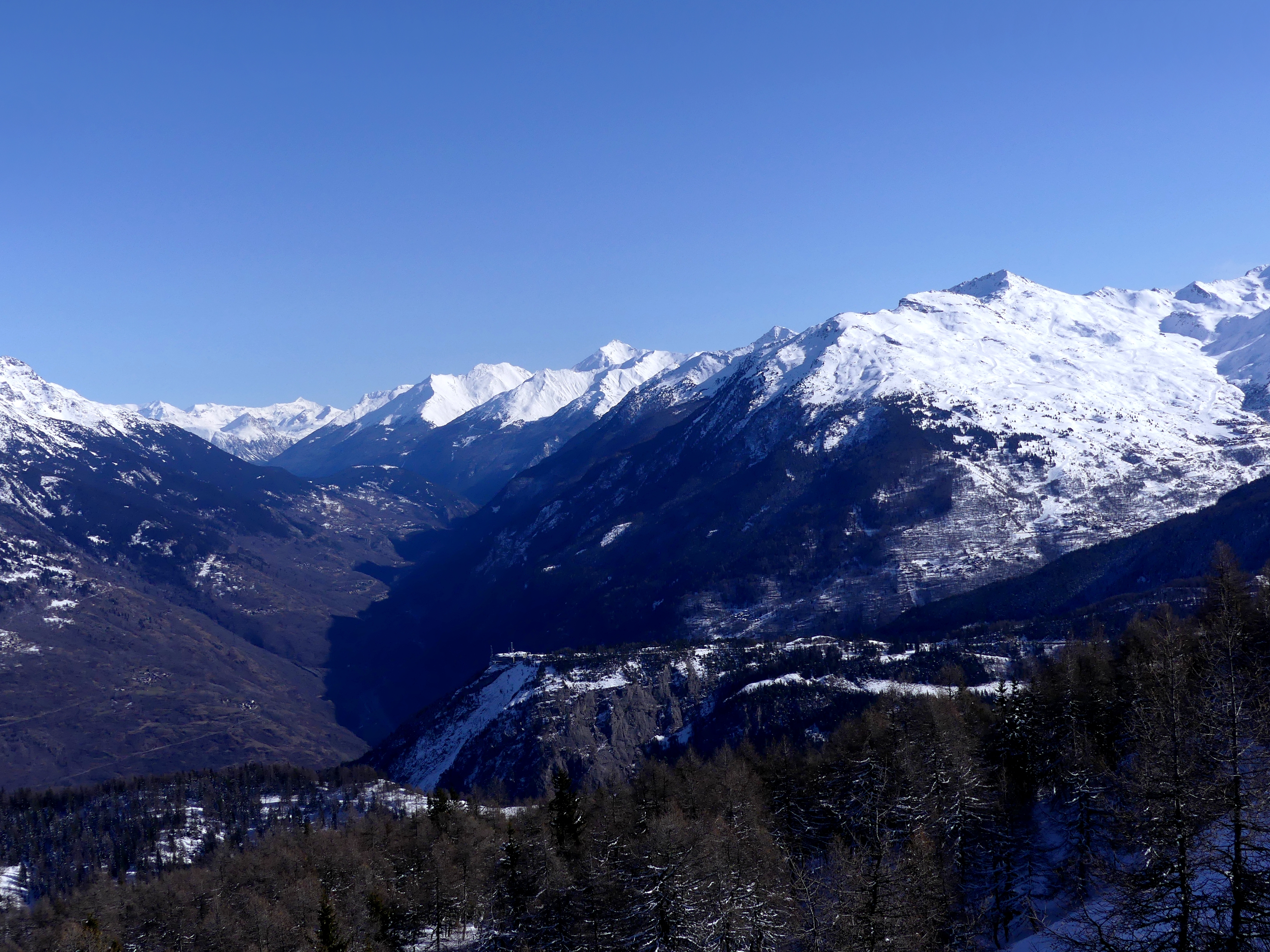
Pass at 1,533 m above the Maurienne, famous for the Lacets de Montvernier: 17 or 18 hairpins depending on the source. 14 km at 7.5% to the top.
 Free
Free
Pass at 1,566 m between Saint-Michel-de-Maurienne and Valloire, open all year. The fort, ten minutes' walk away, opens in summer only, Wednesdays and Thursdays.
 Free
Free
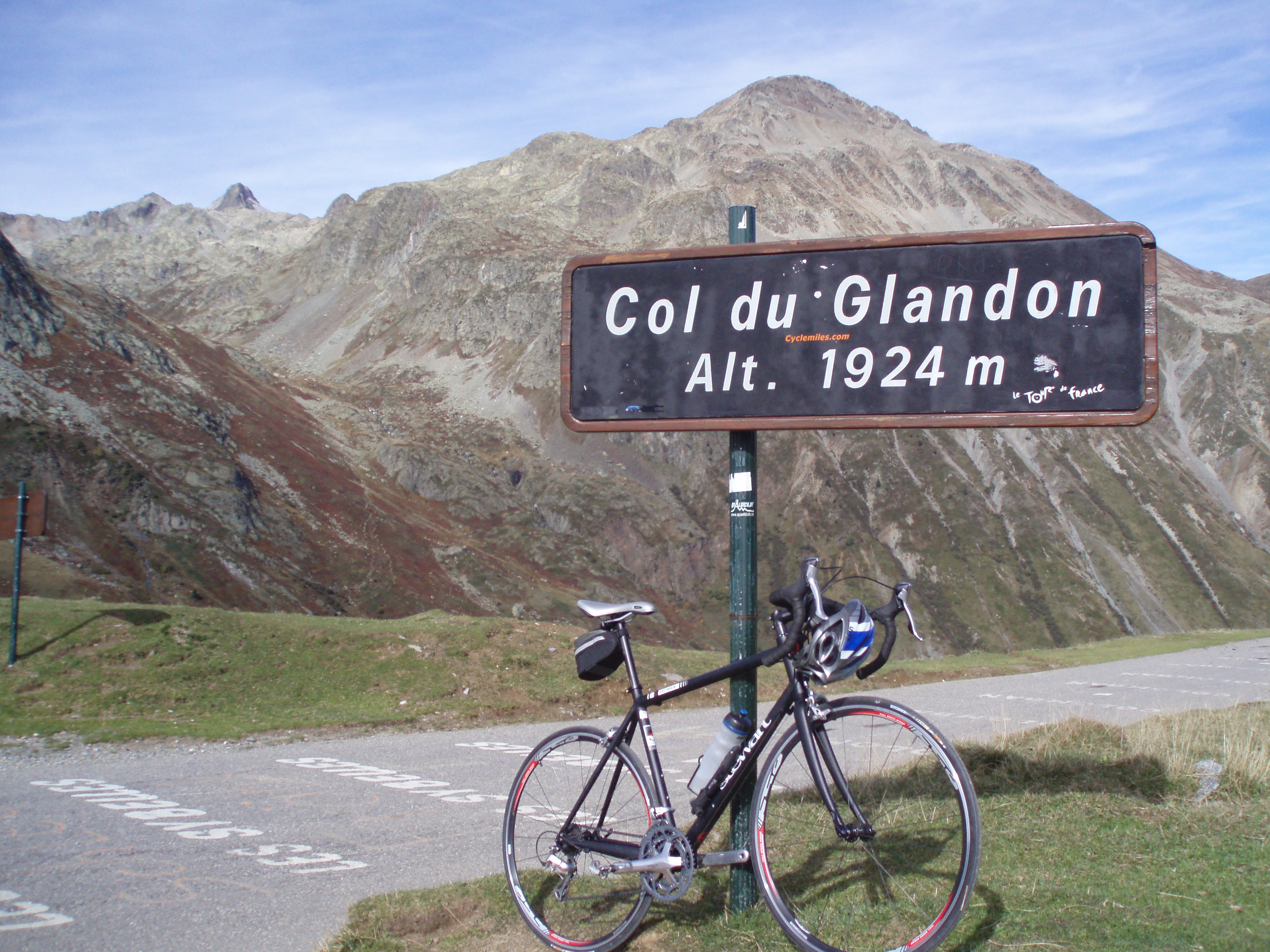
Pass at 1,924 m between the Isère and the Savoie, 2.5 km from the Croix de Fer. In 2026, access from Saint-Colomban-des-Villards did not open before 19 June.