A restaurant in Saint-Jean-de-Maurienne?
Hosting visitors of Col du Chaussy ? Appear here.
Become a partnerThe Col du Chaussy tops out at 1,533 m, but its fame comes from the Lacets de Montvernier below. Seventeen or eighteen hairpins, depending which source you read.

The Col du Chaussy tops out at 1,533 m above the Arc valley, but its fame does not come from the pass: it comes from the Lacets de Montvernier, the lower section stacked against the cliff in a run of hairpins.
Their number — precisely what makes them famous — is not stable: Maurienne Tourisme writes "18 spectacular hairpins", a cycling source counts 17. Their length differs too, between 4 km including the approach and 1.9 km for the hairpins alone.
The two places need separating. The Tour de France has ridden the hairpins three times — 2015, 2018, 2022 — but the pass itself only once, in 2015. The full climb is 14 km at 7.5% average.
From the Arc valley, via the Lacets de Montvernier. No source consulted gives a road number or an opening period.
Open in MapsThe full climb is 14 km at 7.5% average to the pass. The hairpin section is given as 4 km with 3.8 km at 7 to 9% by Maurienne Tourisme, and as 1.9 km at 8.7% by a cycling source: the two do not describe the same segment. Upper part 6 to 9.5%, with a 12% ramp.
Open in MapsNo source consulted publishes an opening period for the road. One source reports cross-country skiing at the pass in winter, which implies snow cover: check road conditions before going up out of season.
Hosting visitors of Col du Chaussy ? Appear here.
Become a partnerShare hours and specialties with visitors of Col du Chaussy.
Become a partnerGîte, B&B, campsite, rental in Saint-Jean-de-Maurienne.
Become a partnerBeen there? Share your photos — we'll add them to this page with credit. Tag #loisirs73 or email photos@loisirs73.fr
The sources contradict each other: "18 spectacular hairpins" per Maurienne Tourisme, 17 per a cycling source. It is the number the place is famous for, and it is not stable.
No. The hairpins are the lower section against the cliff; the pass is the high point at 1,533 m, 14 km further on. The Tour has ridden the hairpins three times and the pass only once.
1,533 m, a figure the sources consulted agree on.
14 km at 7.5% average, the upper part running 6 to 9.5% with a 12% ramp.
No source consulted publishes an opening period. One source reports cross-country skiing at the pass in winter, which implies conditions that are not documented: check before setting off.
Access: Free.
Multi-source verification at publication. Information may change — confirm with the official operator before travelling.
Nearby
Other places to explore in the area and in the same category
 Free
Free
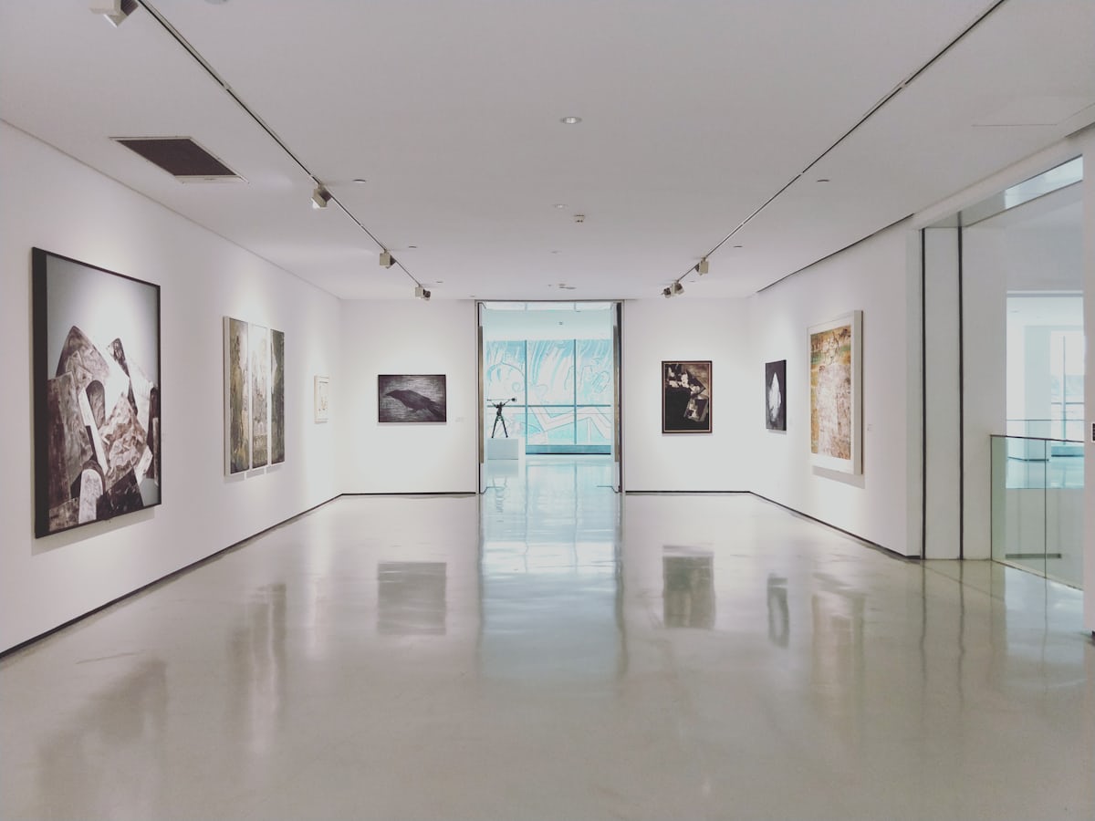
The Opinel museum in Saint-Jean-de-Maurienne: free entry, 700 m² on Joseph Opinel's Savoyard knife, fully step-free and accessible.
 Free
Free
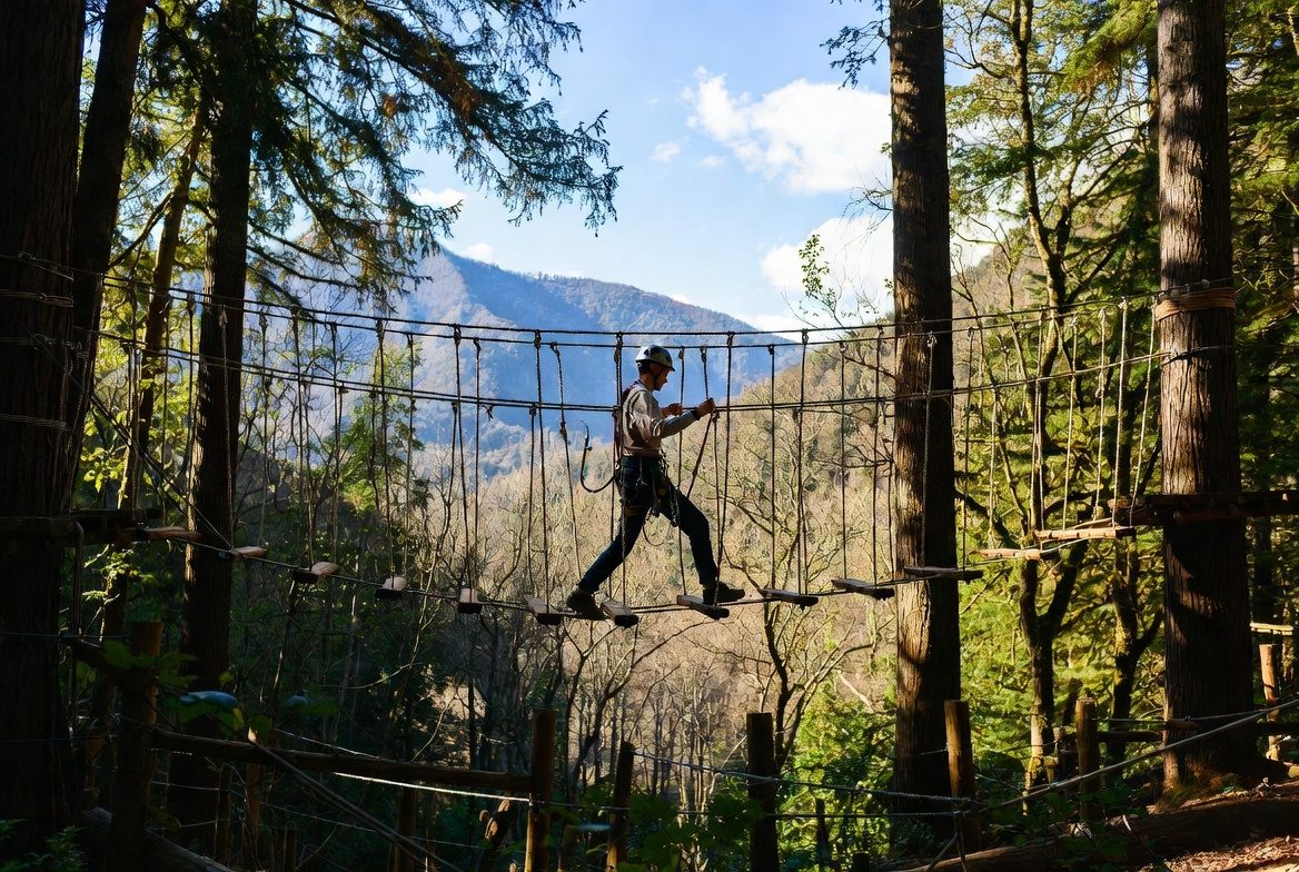
Adventure park at Saint-Jean-de-Maurienne: six courses, 100 workshops, 120 m ziplines — and every course's height threshold, from 90 cm to 1.30 m. Free parking, animals accepted, stroller accessible.
 Paid
Paid
Fort du Télégraphe, Valloire, Savoie: Price not established, Contested: four sources, four answers. Official sources, discrepancies flagged.
 Free
Free
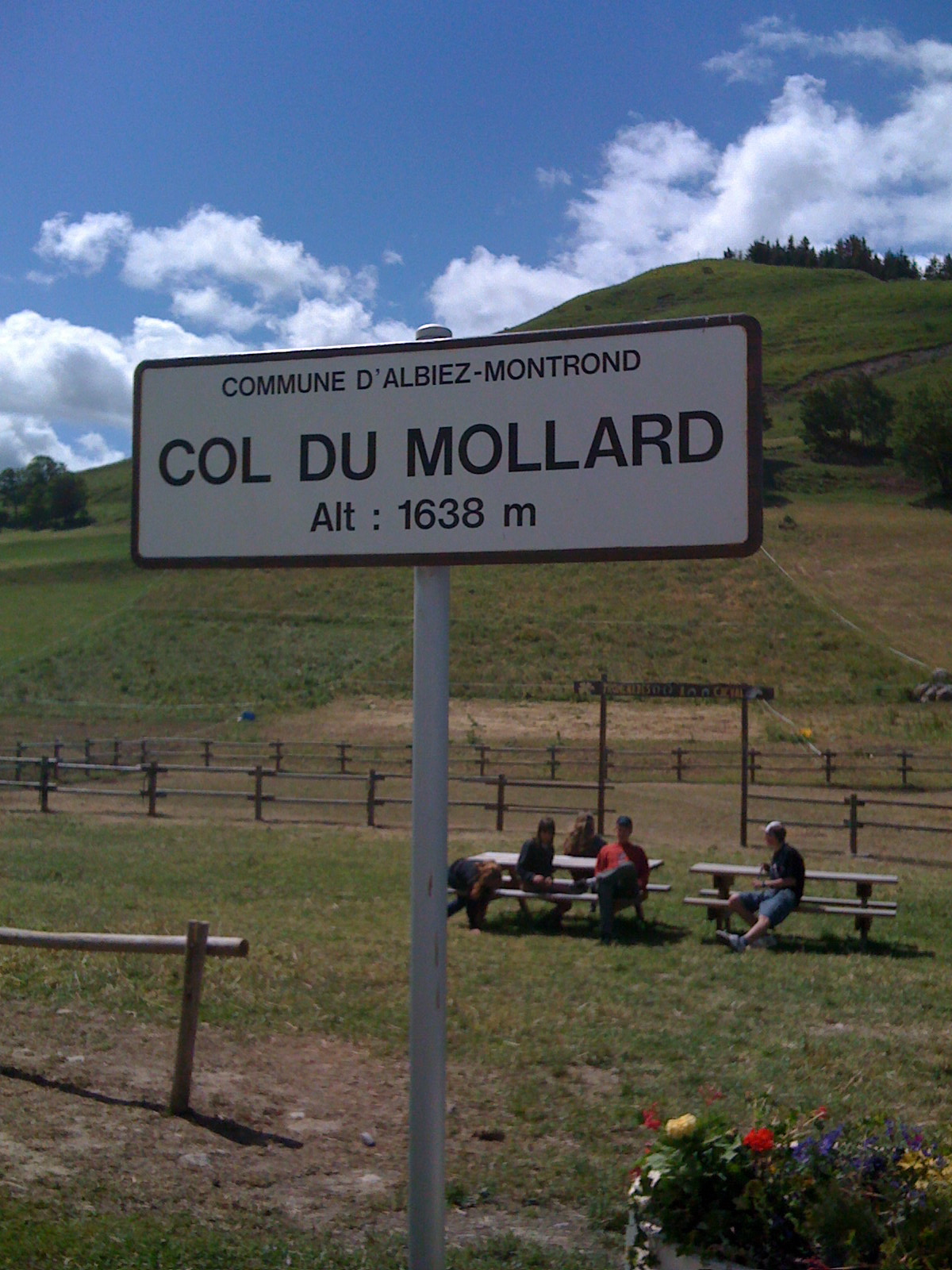
Pass at 1,638 m above Albiez-Montrond, known for its 45 hairpins. A lake and a fountain at the top; no supervised swimming is documented.
 Free
Free
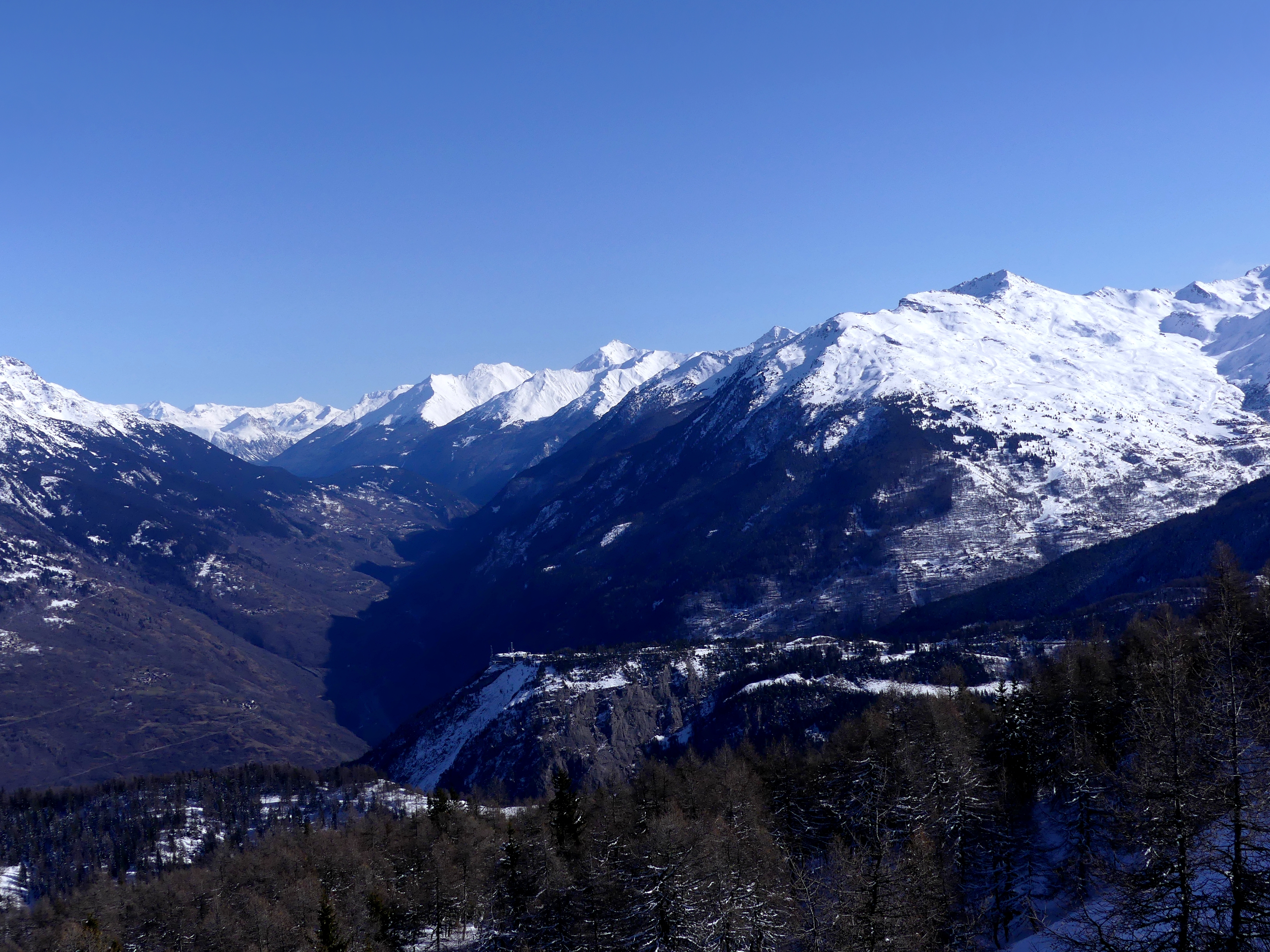
Pass at 1,566 m between Saint-Michel-de-Maurienne and Valloire, open all year. The fort, ten minutes' walk away, opens in summer only, Wednesdays and Thursdays.
 Free
Free
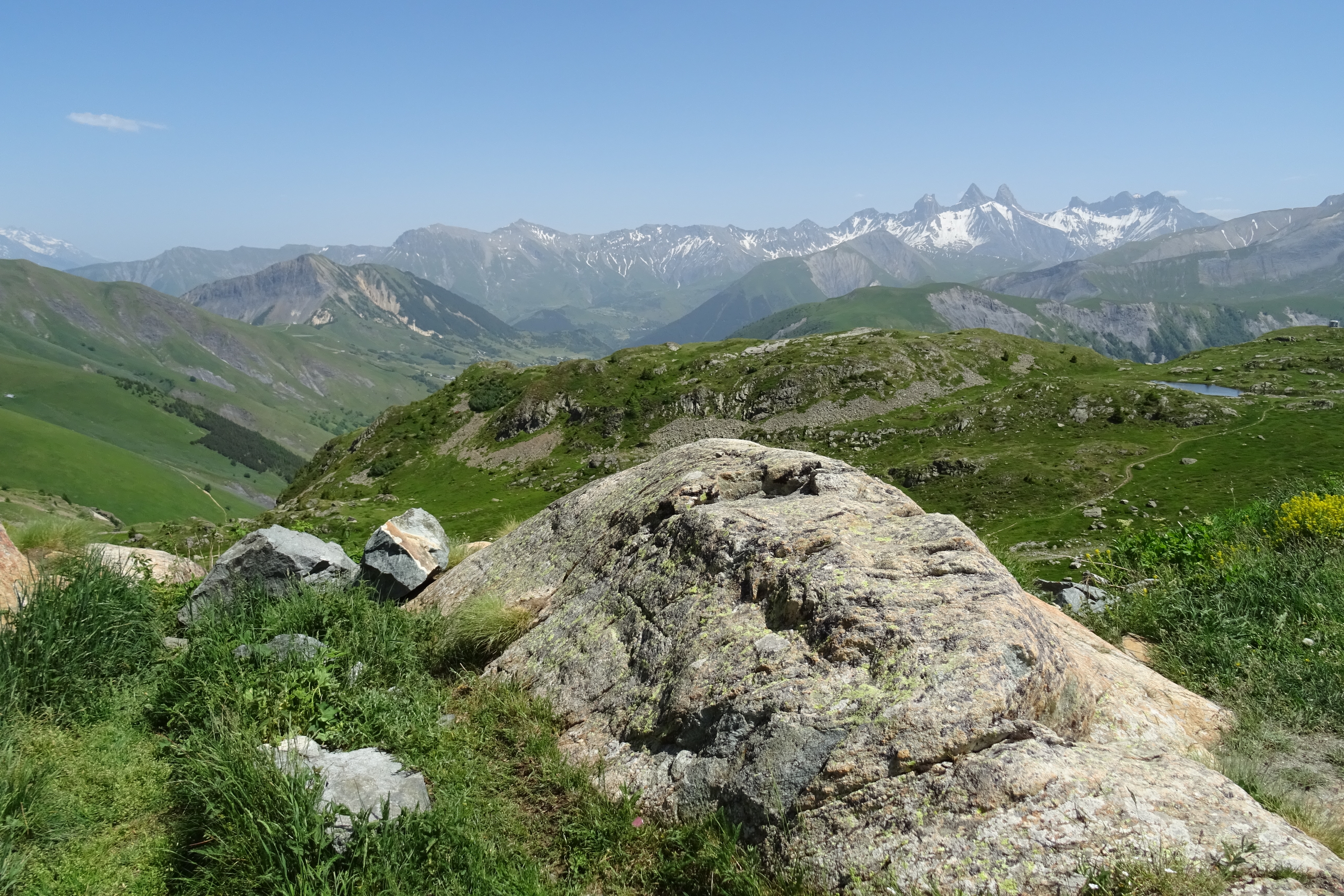
Between the Maurienne and the Oisans on the RD926 and the D526. Opening announced for 20 May 2026 under alternating traffic. Free parking, picnic area, start of the three-lakes walk.