
A restaurant in Valloire?
Hosting visitors of Col du Télégraphe ? Appear here.
Become a partnerThe Col du Télégraphe crosses at 1,566 m between Saint-Michel-de-Maurienne and Valloire. Antechamber to the Galibier — and unlike it, open all year.

The Col du Télégraphe crosses at 1,566 m the barrier separating Saint-Michel-de-Maurienne from Valloire. It is the antechamber to the Galibier: from the Maurienne you cannot reach the Galibier without it.
It takes its name from the fort built between 1885 and 1893, itself raised on the site of a Chappe optical telegraph relay on the imperial Paris–Milan line. The fort is not at the pass: it is ten minutes' walk away, open in summer only and by guided tour, on Wednesdays and Thursdays.
One thing sets it apart from the other great Savoie passes: it is open all year. The Valloire tourist office's opening record shows it open from 1 January to 31 December 2026, because it serves Valloire.
On the Saint-Michel-de-Maurienne – Valloire axis, continuing towards the Col du Galibier. No source consulted gives a road number for the Télégraphe itself.
Open in MapsFrom Saint-Michel-de-Maurienne: 11.8 km, +856 m at 7.3% average and 9.7% maximum per the Valloire tourist office; +846 m at 7.17% and 9.8% at the summit per en.wikipedia. No profile from Valloire is published. First Tour de France crossing in 1911, Émile Georget over the top.
Open in MapsParking checked on 2026-08-09 · © les contributeurs d'OpenStreetMap sous licence ODbL
The pass is open all year, which sets it apart from the other great Savoie passes. The fort is reachable only in summer, on guided tours Wednesdays and Thursdays: that, not the road, is what constrains when to come.
Tour de France 2026, stage 20 on Saturday 25 July, Le Bourg-d'Oisans → Alpe d'Huez, via the Col de la Croix de Fer, the Col du Télégraphe, Valloire and the Col du Galibier. No source consulted publishes closure times specific to the Télégraphe that day.
Hosting visitors of Col du Télégraphe ? Appear here.
Become a partnerShare hours and specialties with visitors of Col du Télégraphe.
Become a partnerGîte, B&B, campsite, rental in Valloire.
Become a partnerBeen there? Share your photos — we'll add them to this page with credit. Tag #loisirs73 or email photos@loisirs73.fr
1,566 m. It is the only pass in this batch whose altitude is not contradicted between sources.
Yes. The Valloire tourist office's opening record shows it open every day from 1 January to 31 December 2026. At 1,566 m it serves Valloire and is not closed in winter, unlike the Galibier just above it.
No, it is about ten minutes' walk from the pass. It opens in summer only and by guided tour, on Wednesdays and Thursdays, with the Savoie Mont-Blanc heritage guides. No price is published.
11.8 km per both sources. The height gain differs: +856 m at 7.3% average per the tourist office, +846 m at 7.17% per en.wikipedia.
From the fort built between 1885 and 1893, itself raised on the site of a Chappe optical telegraph relay on the imperial Paris–Milan line.
Access: Free.
Best time: All year.
Multi-source verification at publication. Information may change — confirm with the official operator before travelling.
Nearby
Other places to explore in the area and in the same category
 Paid
Paid
Fort du Télégraphe, Valloire, Savoie: Price not established, Contested: four sources, four answers. Official sources, discrepancies flagged.
 Paid
Paid
The Espace Alu in Saint-Michel-de-Maurienne: 100 years of aluminium in the valley, €8 entry, wheelchair accessible without assistance. Official sources.
 Free
Free
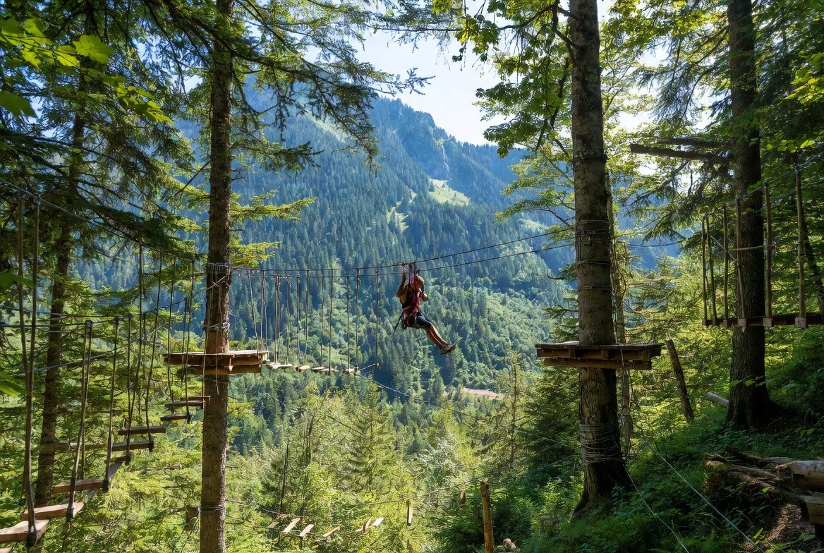
La Forêt de l'Enfer adventure park at Valloire: 75 workshops over six courses, children from age 2 under 1.30 m (€10), adults above (€20). 2026 season: 5 July to 28 August, closed Saturdays.
 Free
Free
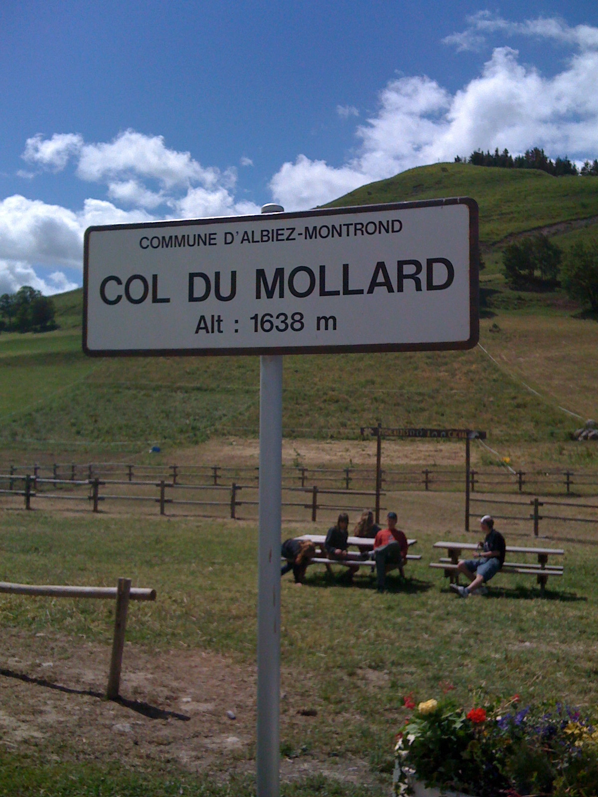
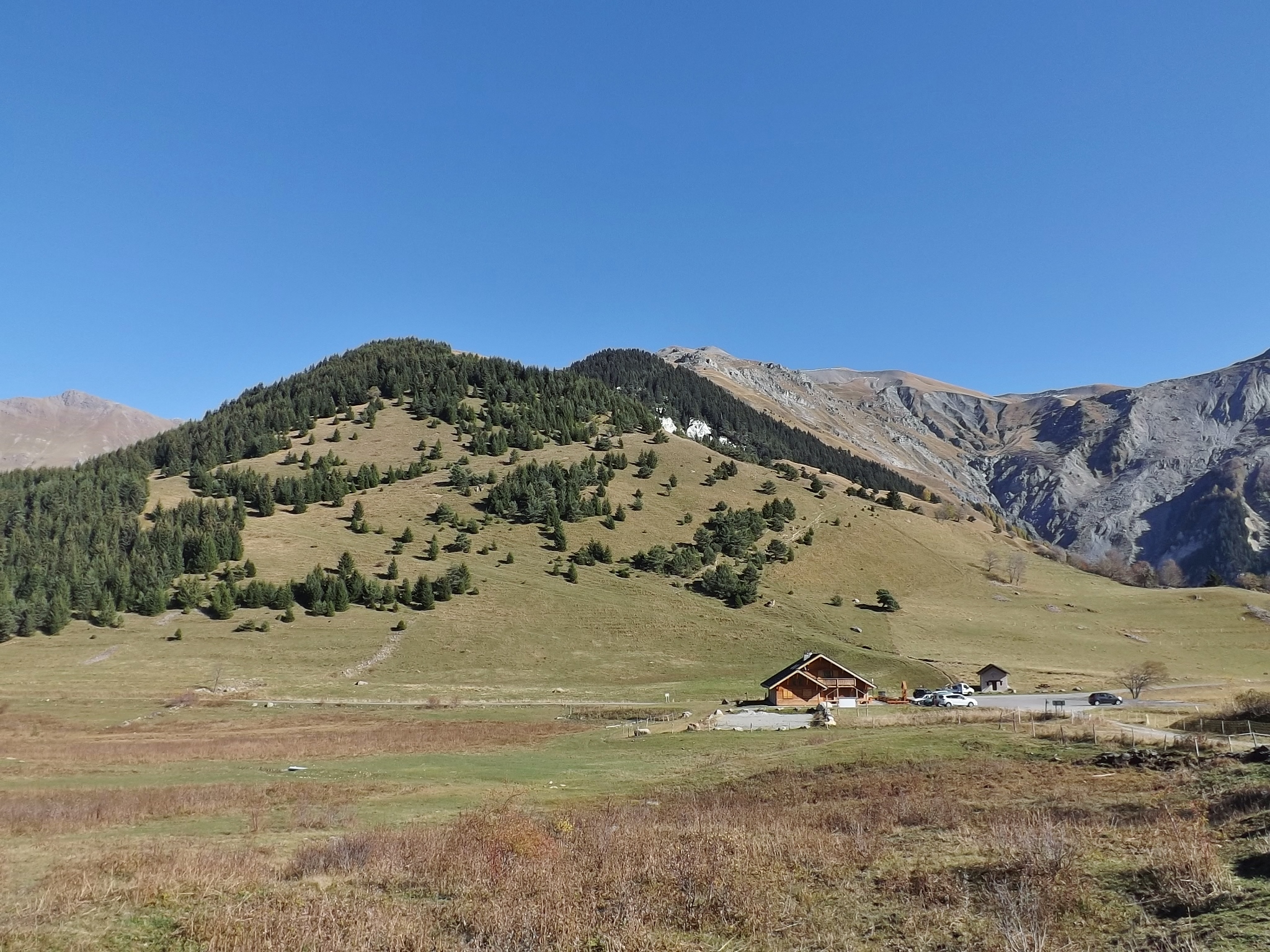
Pass at 1,638 m above Albiez-Montrond, known for its 45 hairpins. A lake and a fountain at the top; no supervised swimming is documented.
 Free
Free
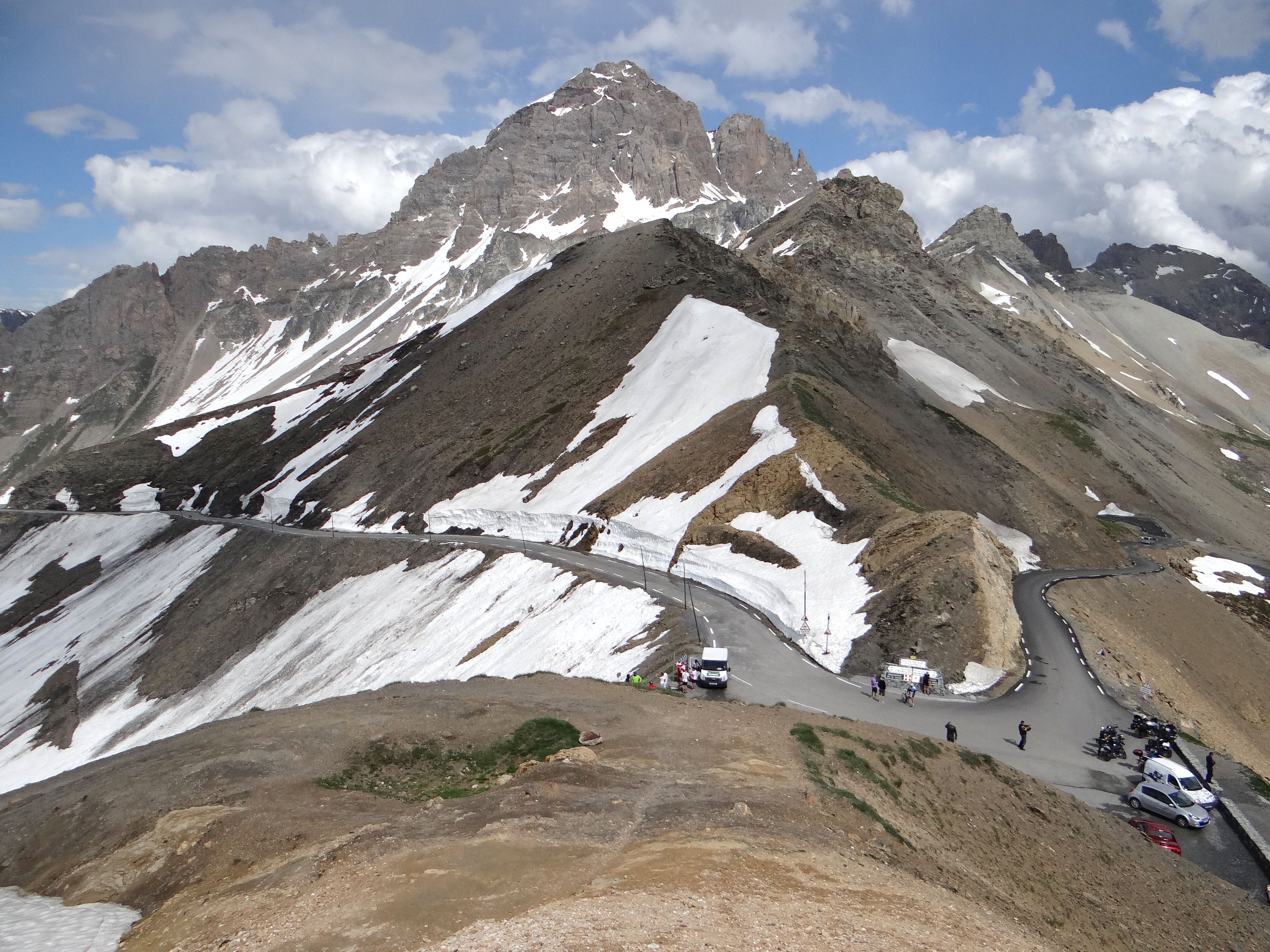
Pass at 1,533 m above the Maurienne, famous for the Lacets de Montvernier: 17 or 18 hairpins depending on the source. 14 km at 7.5% to the top.
 Free
Free
Summit road at 2,642 m, tunnel at 2,556 m: two separate openings in 2026, on 29 May and 5 June. Free access from Valloire. Cyclists are banned from the tunnel.