
A restaurant in Valloire?
Hosting visitors of Col du Galibier ? Appear here.
Become a partnerThe Col du Galibier links Valloire, in Savoie, to the Col du Lautaret, in the Hautes-Alpes. Two roads, two altitudes, two opening dates: the tunnel at 2,556 m reopened on 29 May 2026, the summit road at 2,642 m on 5 June.

The Col du Galibier crosses the boundary between Savoie and the Hautes-Alpes, between Valloire (73450) to the north and Le Monêtier-les-Bains (05220) to the south, towards the Col du Lautaret. The Valloire tourist office and the préfecture write RD902 and RD902B; the Hautes-Alpes side writes D902 and D902b.
There are two crossings, and that is what everyone confuses. The tunnel, at 2,556 m, 370 m long and 4 m wide with light-controlled alternating traffic, bypasses the summit about 5 km lower; cyclists are banned from it. The summit road, at 2,642 m, goes over the col itself. In 2026 the tunnel reopened on Friday 29 May at midday and the summit road on Friday 5 June at 12:00.
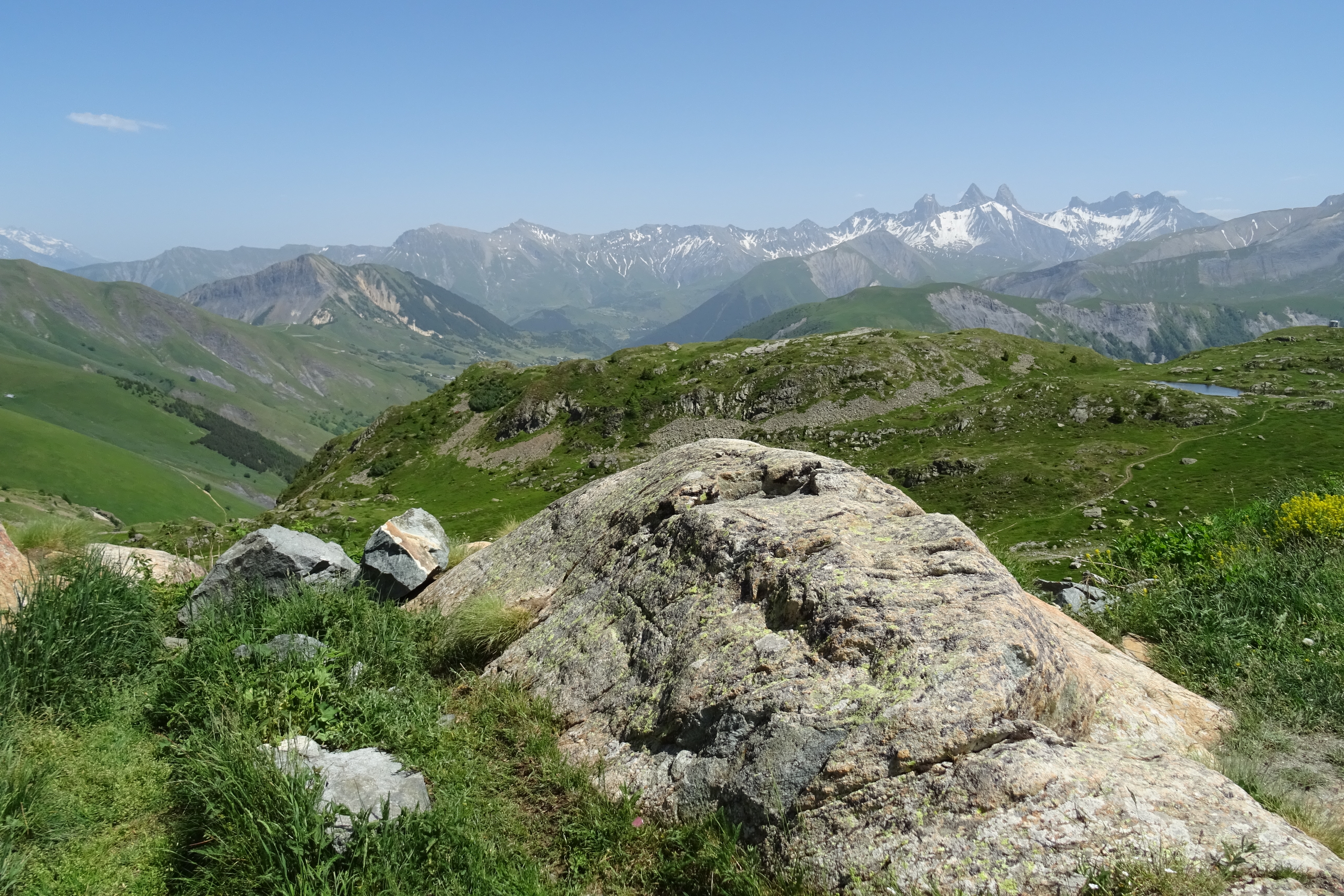
At the col: the monument to Henri Desgrange, erected in 1949 by the architect Alexandre Audouze-Tabourin and completed with a marble plaque in 1974, and an orientation table installed by the Parc national des Écrins in 1988, naming the Meije, the Grand Galibier and Mont-Blanc. Both the monument and the Refuge du Galibier stand in the commune of Le Monêtier-les-Bains, in the Hautes-Alpes, not on the Savoie side.
From Valloire on the RD902B to the north, or from the Col du Lautaret to the south. The tunnel (RD902) opens before the summit road each spring and bypasses it about 5 km lower. Live status on savoie-route.fr.
Open in MapsFrom Valloire: 18.2 km and 1,242 m of climbing (Valloire tourist office), 17 km and 1,212 m at 7.2% (CC Maurienne-Galibier), 18.1 km and 1,245 m at 6.9% (en.wikipedia) — sources diverge. From Saint-Michel-de-Maurienne: 34.8 km and 2,085 m including the Col du Télégraphe. First Tour de France crossing on 10 July 1911, Émile Georget first over the top. Cyclists are banned from the tunnel: before the summit road opens, the Galibier cannot be crossed by bike at all.
Open in MapsThe summit road is open from early June to late October, closing with the first snow. In 2026 it opened on 5 June; no closing date is published yet. Several full closures punctuate the summer, mostly in the morning.
Cols réservés 2026: 29 June, 16 July and 4 August, 09:00–12:00, summit road closed to cars and motorbikes. Galibier Challenge on 7 June 2026, 09:00–15:00. L'Étape du Tour on 19 July 2026, 08:30–18:00. Tour de France stage 20 on 25 July 2026, 10:00–18:30.
Hosting visitors of Col du Galibier ? Appear here.
Become a partnerShare hours and specialties with visitors of Col du Galibier.
Become a partnerGîte, B&B, campsite, rental in Valloire.
Become a partnerBeen there? Share your photos — we'll add them to this page with credit. Tag #loisirs73 or email photos@loisirs73.fr
The summit road is at 2,642 m and the tunnel at 2,556 m: two different crossings. A third figure, 2,645 m, circulates in the cycling press, which attaches it to the summit road as it ran between 1979 and 2017.
Yes. The tunnel reopened on 29 May 2026 at midday and the summit road on 5 June 2026 at 12:00. No 2026 closing date is published: check savoie-route.fr before going up.
No. Cyclists are banned from the tunnel. Until the summit road opens, the col cannot be crossed by bike.
The Refuge du Galibier is at 2,556 m, about 100 m below the col, in the commune of Le Monêtier-les-Bains in the Hautes-Alpes — so not on the Valloire side. Summer 2026: open 29 May to 28 September, daily.
Yes. Stage 20, on Saturday 25 July 2026, closes the road in both directions from 10:00 to 18:30, and parking is banned at the summit from 18:00 on 24 July.
Parking: Car park at the summit, coaches admitted; price not documented.
Access: Free.
Best time: June – October.
Multi-source verification at publication. Information may change — confirm with the official operator before travelling.
Nearby
Other places to explore in the area and in the same category
 Paid
Paid
Valloire, between the Télégraphe and the Galibier: the Galibier-Thabor domain linked with Valmeinier, 160 km over 5 mountainsides, 70% of runs above 2,000 m, free Les Verneys drag lift. 2026-27 season: 19 December to 9 April.
 Free
Free
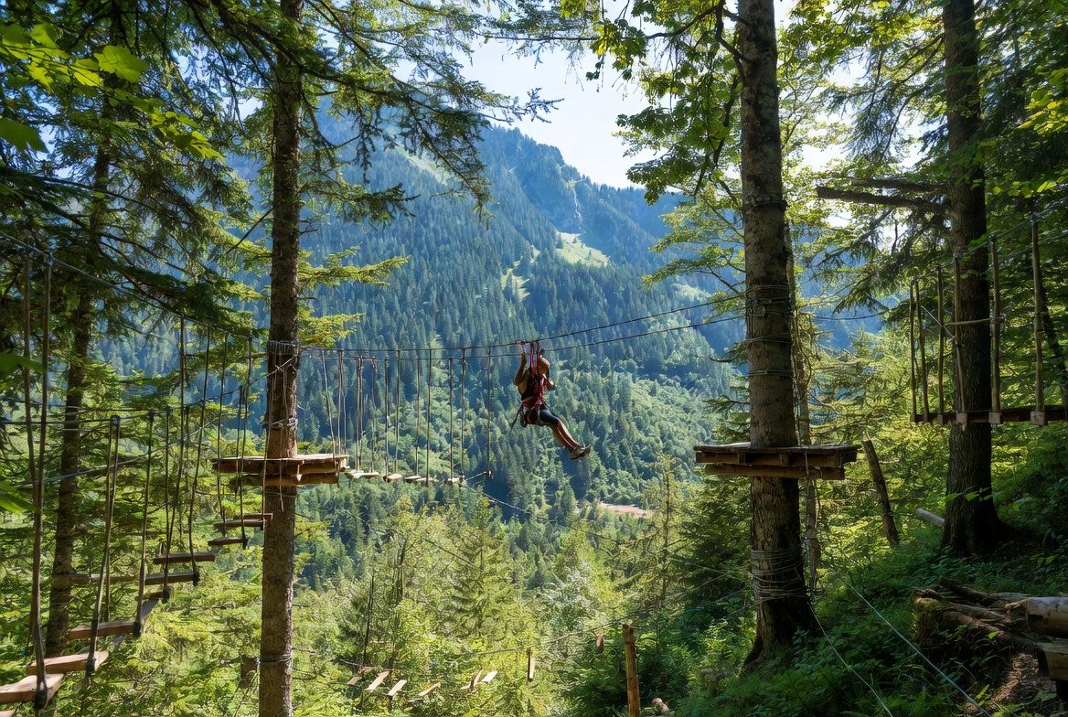
La Forêt de l'Enfer adventure park at Valloire: 75 workshops over six courses, children from age 2 under 1.30 m (€10), adults above (€20). 2026 season: 5 July to 28 August, closed Saturdays.
 Paid
Paid
Fort du Télégraphe, Valloire, Savoie: Price not established, Contested: four sources, four answers. Official sources, discrepancies flagged.
 Free
Free
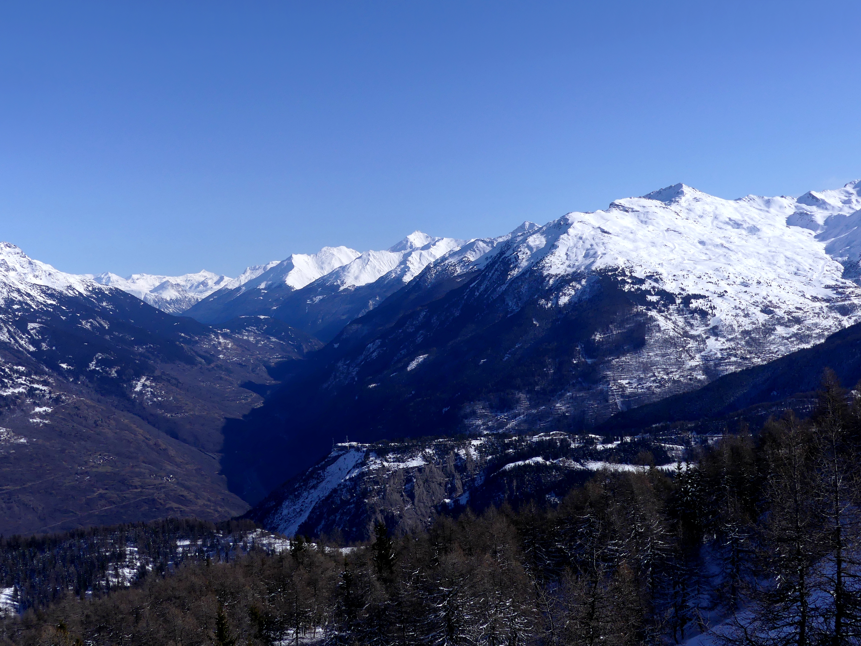
Pass at 1,566 m between Saint-Michel-de-Maurienne and Valloire, open all year. The fort, ten minutes' walk away, opens in summer only, Wednesdays and Thursdays.
 Free
Free
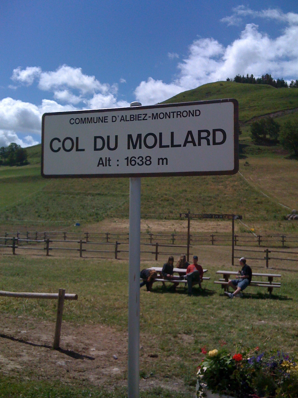
Pass at 1,638 m above Albiez-Montrond, known for its 45 hairpins. A lake and a fountain at the top; no supervised swimming is documented.
 Free
Free
Between the Maurienne and the Oisans on the RD926 and the D526. Opening announced for 20 May 2026 under alternating traffic. Free parking, picnic area, start of the three-lakes walk.