The Maurienne cycling passes: profiles and openings
Galibier, Télégraphe, Croix de Fer, Glandon, Mollard, Chaussy: the densest pass valley in France, with the gaps between sources shown rather than an invented average.
How this selection is made — Compiled from our verified fact sheets: this page's contents are exactly the output of the stated selector, never a hand-written list. It updates whenever a sheet changes.
The selection · 9
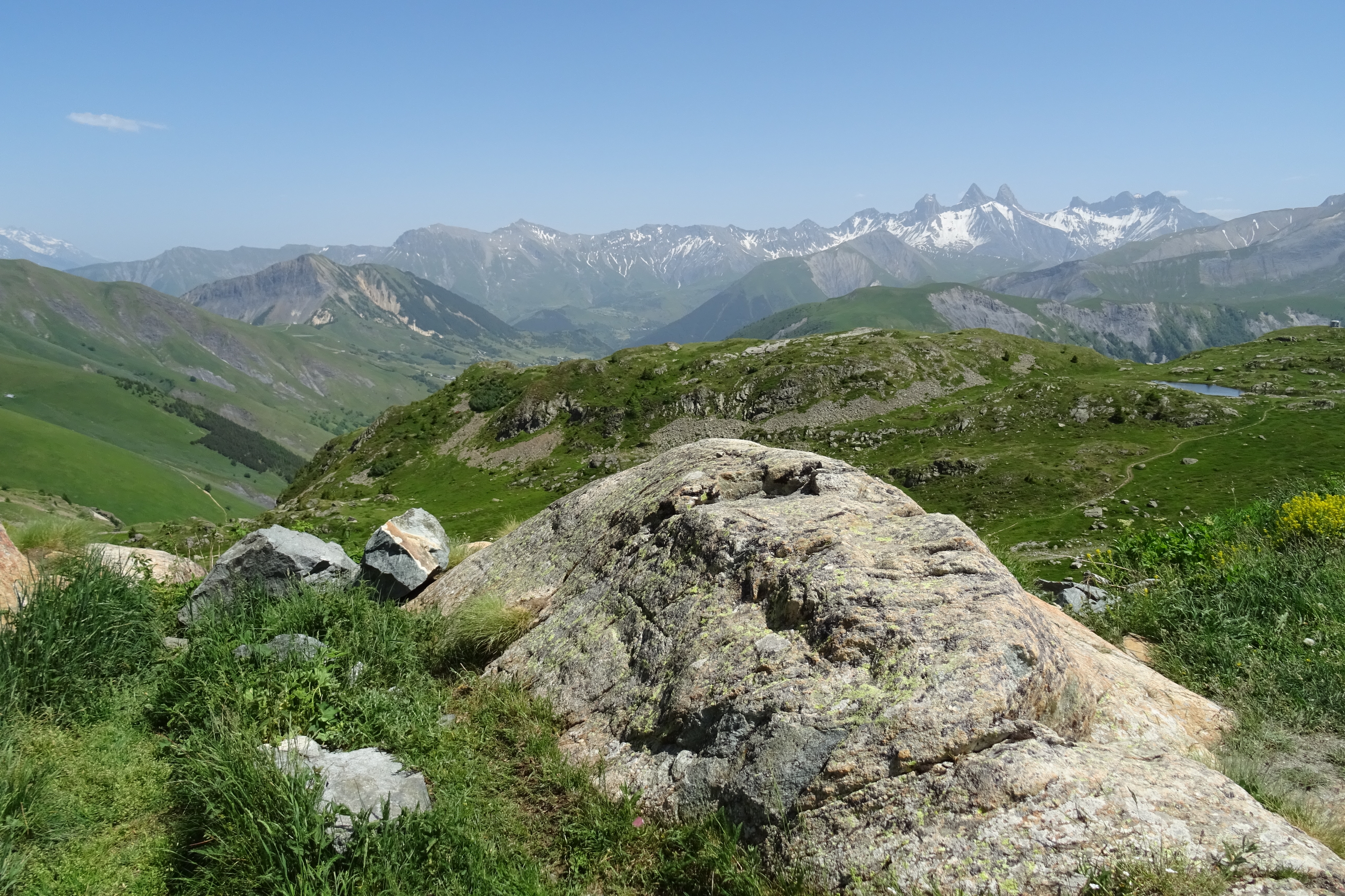
Col de l'Iseran
Bonneval-sur-Arc
FreeParkingWinter ✓
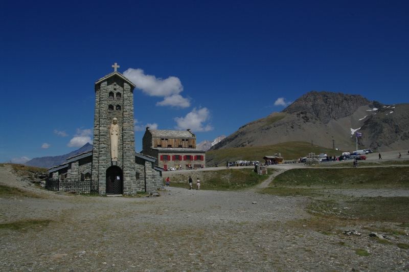
Open right across since 12 June 2026. Free access on the D902 between Val-d'Isère and Bonneval-sur-Arc. Free parking. The only road crossing inside the Parc national de la Vanoise.
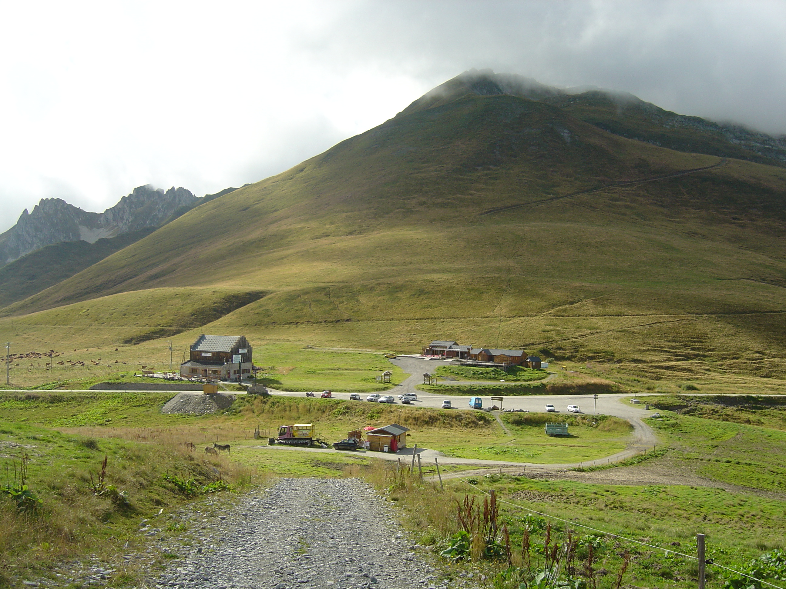
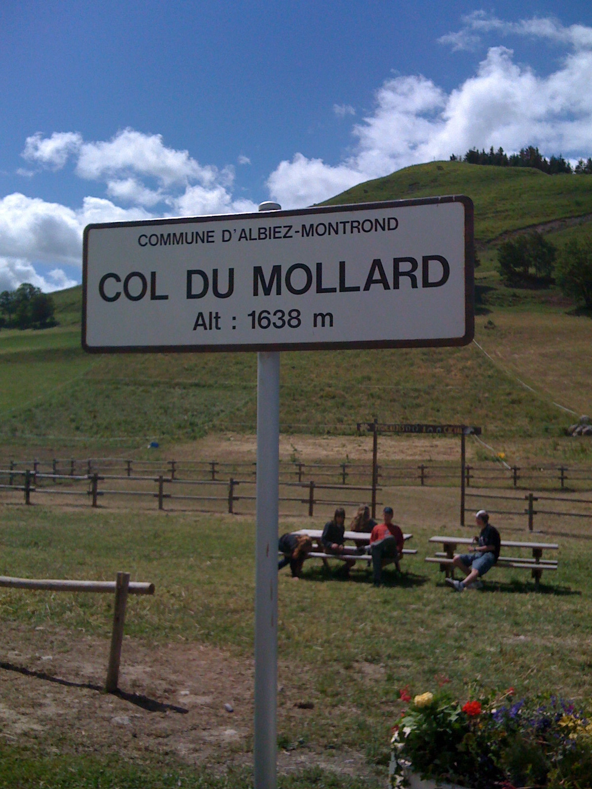
Between the Maurienne and the Oisans on the RD926 and the D526. Opening announced for 20 May 2026 under alternating traffic. Free parking, picnic area, start of the three-lakes walk.
Open since 29 May 2026. Between La Chambre in the Maurienne and La Léchère in the Tarentaise, on the RD 213. Free access. 1,993 m per IGN, 2,000 m on the stele.
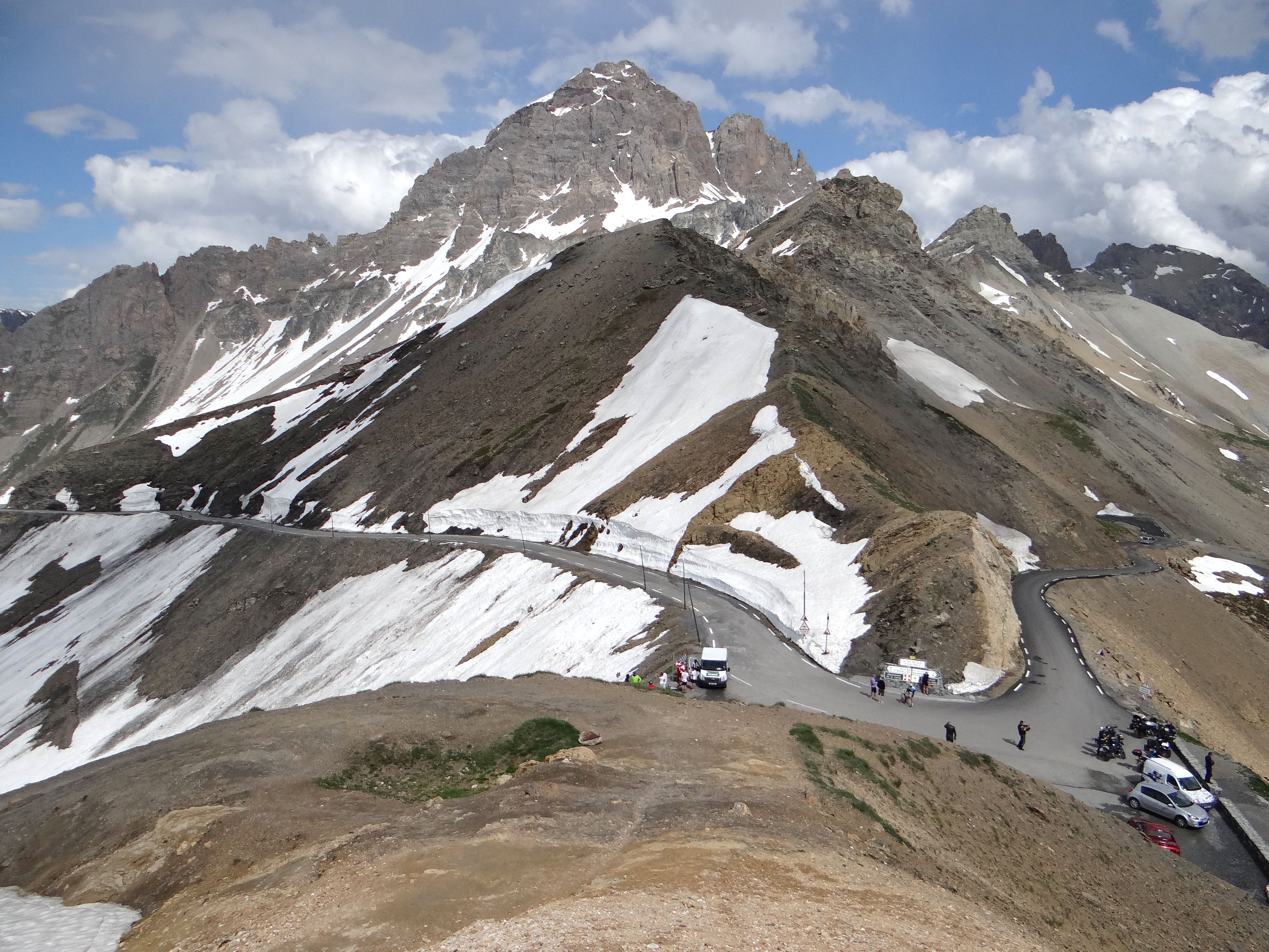
Summit road at 2,642 m, tunnel at 2,556 m: two separate openings in 2026, on 29 May and 5 June. Free access from Valloire. Cyclists are banned from the tunnel.
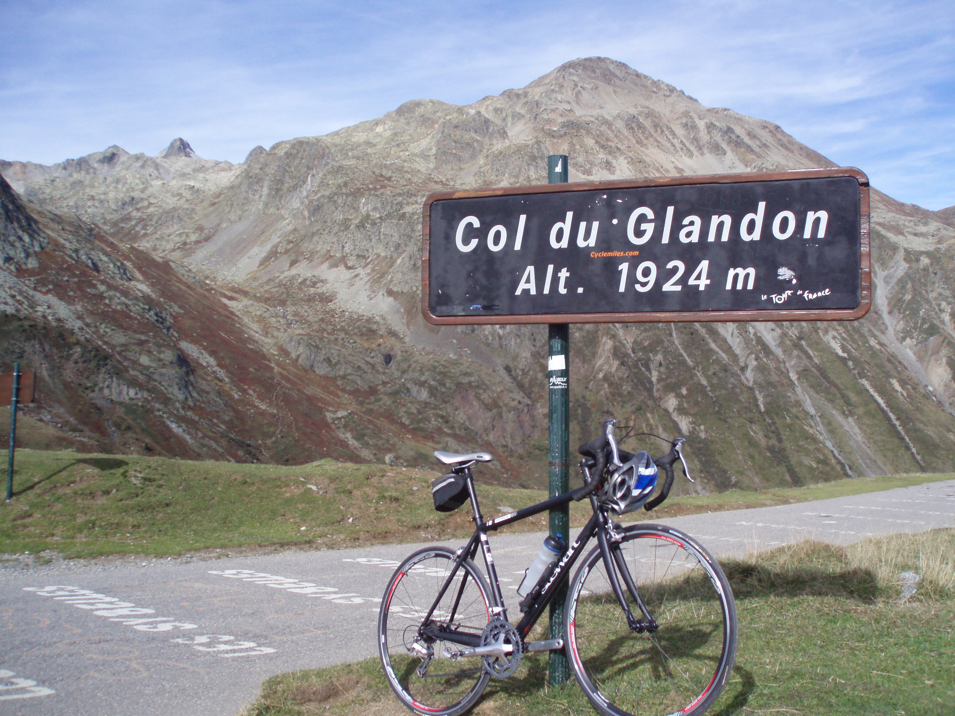
Pass at 1,924 m between the Isère and the Savoie, 2.5 km from the Croix de Fer. In 2026, access from Saint-Colomban-des-Villards did not open before 19 June.
Upper Maurienne pass above a hydroelectric reservoir. Three published altitudes (2,081, 2,083, 2,085 m). Entirely in France since 1947, despite what you will read.
Pass at 1,566 m between Saint-Michel-de-Maurienne and Valloire, open all year. The fort, ten minutes' walk away, opens in summer only, Wednesdays and Thursdays.