
A restaurant in Saint-François-Longchamp?
Hosting visitors of Col de la Madeleine ? Appear here.
Become a partnerThe Col de la Madeleine links the Maurienne, at La Chambre, to the Tarentaise, at La Léchère, by way of Saint-François-Longchamp. Its altitude is 1,993 m per IGN, but the road signs and the stele read 2,000 m and the old signage read 1,984 m.

The Col de la Madeleine crosses the ridge between the Maurienne valley, at La Chambre (73130), and the Tarentaise, at La Léchère (73260), by way of Saint-François-Longchamp and Celliers. The road is written RD 213 by the préfecture, by the La Léchère town hall and by the Département on its roadworks pages — but the Département also wrote RD 9213 in 2023, and cycling sources write D213 on both sides, or D94 for the north ramp from Feissons-sur-Isère.
Three altitudes circulate: 1,993 m per IGN, 2,000 m on the stele and the road signs — also the Tour de France's figure — and 1,984 m, which matches older signage and is still published in 2026 by some sources. We do not pick a winner.
At the col: a car park, an orientation table, two café-restaurants including La Banquise 2000, a shop, coach access and motorhomes allowed. Note that winter access means two different things: the road is closed and snowbound in winter, but the col sits inside the Le Grand Domaine ski area between Saint-François-Longchamp and Valmorel, and the summit restaurant runs all winter — reached by lift or on skis, not by car.
On the RD 213 from La Chambre to the south or La Léchère to the north, via Saint-François-Longchamp and Celliers. Closed in winter. Live status on savoie-route.fr.
Open in MapsSouth side from La Chambre: 19.00 km, +1,522 m, 8.01% average, 13.5% maximum (Cols Cyclisme); 19.3 km, +1,521 m, 8% (Route des Grandes Alpes). North side, depending on the chosen foot: 25.9 km at 6.5% from Feissons-sur-Isère (Route des Grandes Alpes) or 27.5 km at 5.8% for the same ramp (Quäldich). First Tour de France crossing in 1969, on the Chamonix–Briançon stage, the road having been tarred for the occasion. The Tour de France Femmes finished a stage at the col on 2 August 2025 (Cycling French Alps).
Open in MapsCar park at the col
Parking checked on 2026-08-09 · © les contributeurs d'OpenStreetMap sous licence ODbL
The road is open from late May to early November. In 2026 it opened on 29 May; no closing date is published yet. Be wary of tourist listings announcing “20/05 to 17/11”: that is a composite of past seasons, not a 2026 calendar.
Hosting visitors of Col de la Madeleine ? Appear here.
Become a partnerShare hours and specialties with visitors of Col de la Madeleine.
Become a partnerGîte, B&B, campsite, rental in Saint-François-Longchamp.
Become a partnerBeen there? Share your photos — we'll add them to this page with credit. Tag #loisirs73 or email photos@loisirs73.fr
1,993 m per IGN. The stele and the road signs read 2,000 m, the figure the Tour de France also uses, and the older signage read 1,984 m — still published by some sources in 2026.
It reopened on Friday 29 May 2026 at 12:00 per two press relays of the Département de la Savoie. No 2026 closing date is published: check savoie-route.fr.
Not by car: the road is closed and snowbound. The col does sit inside the Le Grand Domaine ski area, though, and the summit restaurant runs through the ski season, reached by lift or on skis.
No. Access is free, with a car park at the col, coach access and motorhomes allowed.
This road sees recurrent works. In 2025 a rockfall-protection operation between Le Crozat and Peychet banned motorbikes and bicycles for its entire duration. Check road status before setting off.
Parking: Car park at the col.
Access: Free.
Best time: Late May – early November.
Multi-source verification at publication. Information may change — confirm with the official operator before travelling.
Nearby
Other places to explore in the area and in the same category
 Paid
Paid
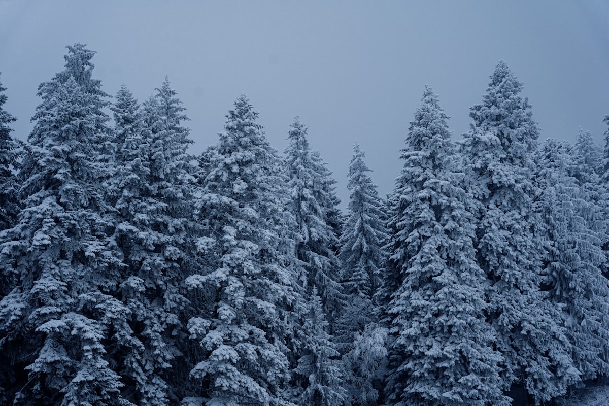
Valmorel: the Grand Domaine's 165 km of runs (1,250 – 2,550 m) with Saint-François-Longchamp, two free beginner lifts and a village-heart sledge run lit at night. 2026-27 season: 18 December to 10 April.
 Paid
Paid
Musée du Félicien, Argentine, Savoie: Price not established, Contested: four sources, four answers. Official sources, discrepancies flagged.
 Free
Free
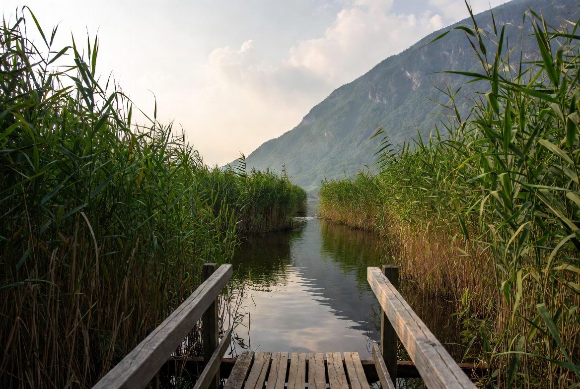
The Lac des Hurtières (lower Maurienne, 320 m): free lifeguarded summer swimming, 25 °C water rated Excellente, a Natura 2000 plain with a wildlife hide, a guinguette from mid-May to late August.
 Free
Free
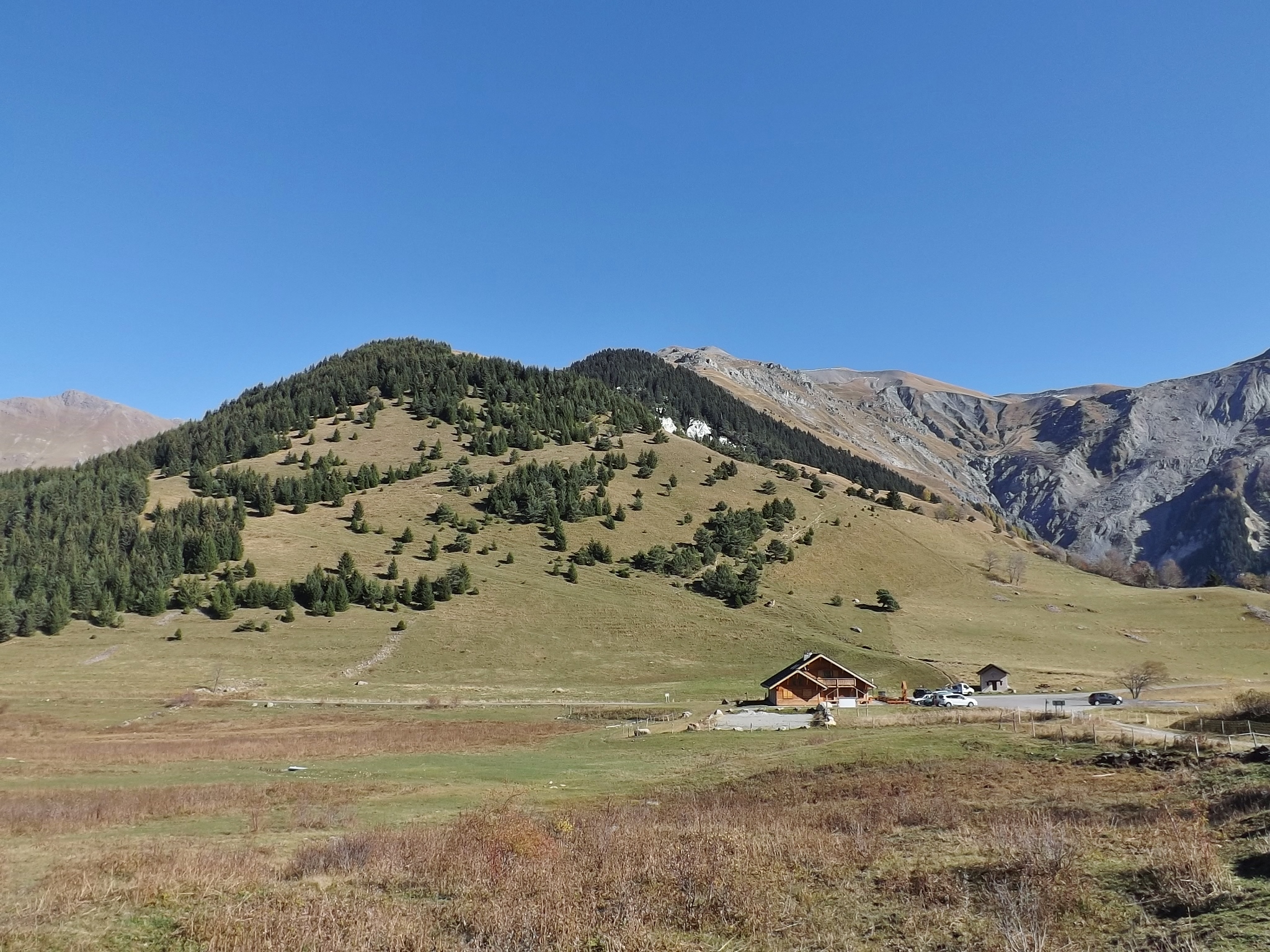
Pass at 1,533 m above the Maurienne, famous for the Lacets de Montvernier: 17 or 18 hairpins depending on the source. 14 km at 7.5% to the top.
 Free
Free
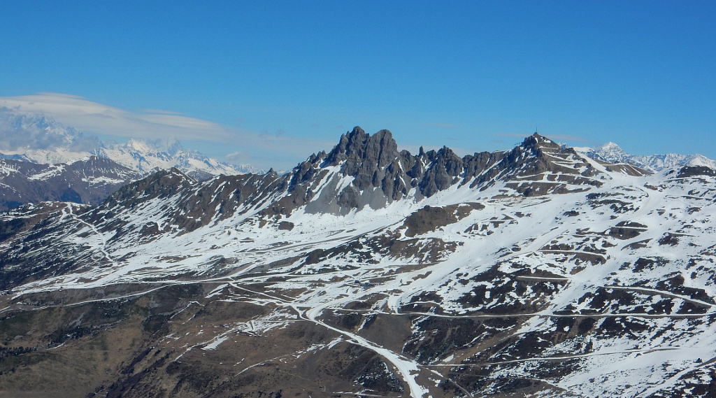
Pass at 2,304 m between Courchevel and Méribel, reserved for bicycles: cars banned. 7 km on the Méribel side, 6.5 on the Courchevel side, a 23% wall.
 Free
Free
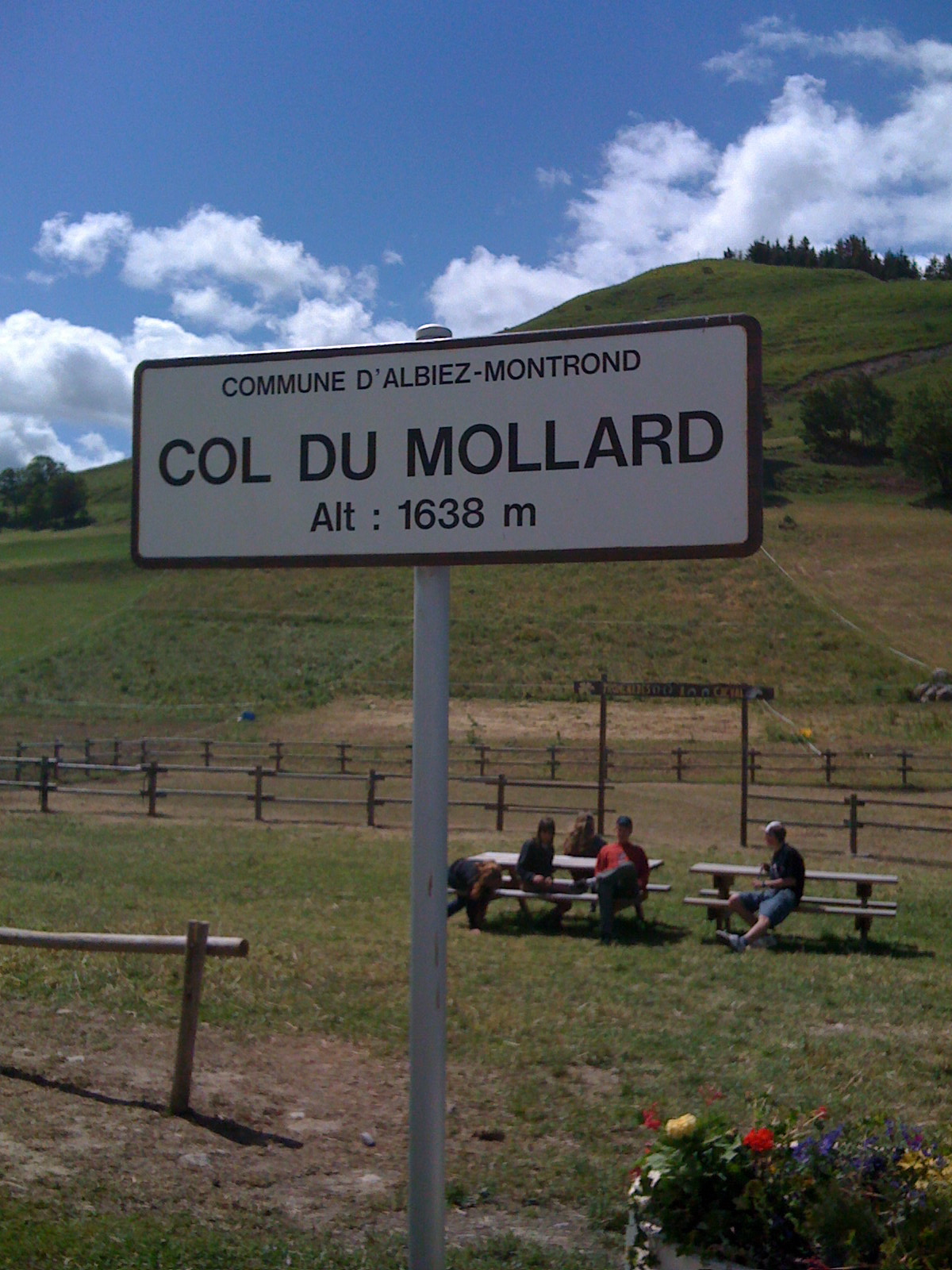
Pass at 1,638 m above Albiez-Montrond, known for its 45 hairpins. A lake and a fountain at the top; no supervised swimming is documented.