A restaurant in Courchevel?
Hosting visitors of Col de la Loze ? Appear here.
Become a partnerThe Col de la Loze links Courchevel to Méribel at 2,304 m on a road closed to cars. Seven kilometres on the Méribel side, 6.5 on the Courchevel side, and a 23% wall.

The Col de la Loze tops out at 2,304 m between Courchevel and Méribel. It is not a road pass: the route is reserved for bicycles and e-bikes, and cars are banned. That is the most surprising fact about it, and the one not to get wrong.
The road was built in two stages: the Courchevel side in autumn 2018, officially opened on 18 May 2019, then the Méribel side in summer 2019. It runs 7 km on the Méribel side from the altiport, starting at 1,673 m, and 6.5 km on the Courchevel side. The Méribel tourist office reports frequent gradient changes above 20%, and a wall at 23% before the pass.
One correction is needed: meribel.net presents the Loze as "the highest mountain pass of the Tour de France". That is inaccurate. At 2,304 m it is well below the Col de l'Iseran, at 2,770 m, also crossed by the Tour.
Not possible: the route is reserved for bicycles and e-bikes. Cars cannot reach the pass.
Open in MapsMéribel side: 7 km from the altiport, 1,673 m to 2,304 m, gradients frequently above 20% and a wall given at 23% before the pass. Courchevel side: 6.5 km of dedicated road. The Méribel tourist office recommends an e-bike.
Open in MapsThe route is a high-altitude road, rideable in summer. No official source publishes opening or closing dates: do not transpose the Les 3 Vallées lift dates, which do not apply to this road.
Hosting visitors of Col de la Loze ? Appear here.
Become a partnerShare hours and specialties with visitors of Col de la Loze.
Become a partnerGîte, B&B, campsite, rental in Courchevel.
Become a partnerBeen there? Share your photos — we'll add them to this page with credit. Tag #loisirs73 or email photos@loisirs73.fr
2,304 m. Every source consulted agrees.
No. The route is reserved for bicycles and e-bikes; cars are banned. That is what makes the pass unusual.
No. At 2,304 m it is well below the Col de l'Iseran (2,770 m), also crossed by the Tour. The wording used by meribel.net is inaccurate: the Loze was the highest stage finish of its edition, which is a different claim.
7 km from the Méribel altiport, starting at 1,673 m, and 6.5 km from Courchevel.
No official source publishes an opening period for the cycle road. The Les 3 Vallées dates cover the ski lifts, not the road.
Access: Free · Bicycles only.
Multi-source verification at publication. Information may change — confirm with the official operator before travelling.
Nearby
Other places to explore in the area and in the same category
 Free
Free
The Rosière lake loop at Courchevel: an easy 1.8 km in 1 h, stroller-accessible, a footbridge over the lake and a botanical trail. The longer, 'difficult' winter version is quoted too.
 Paid
Paid
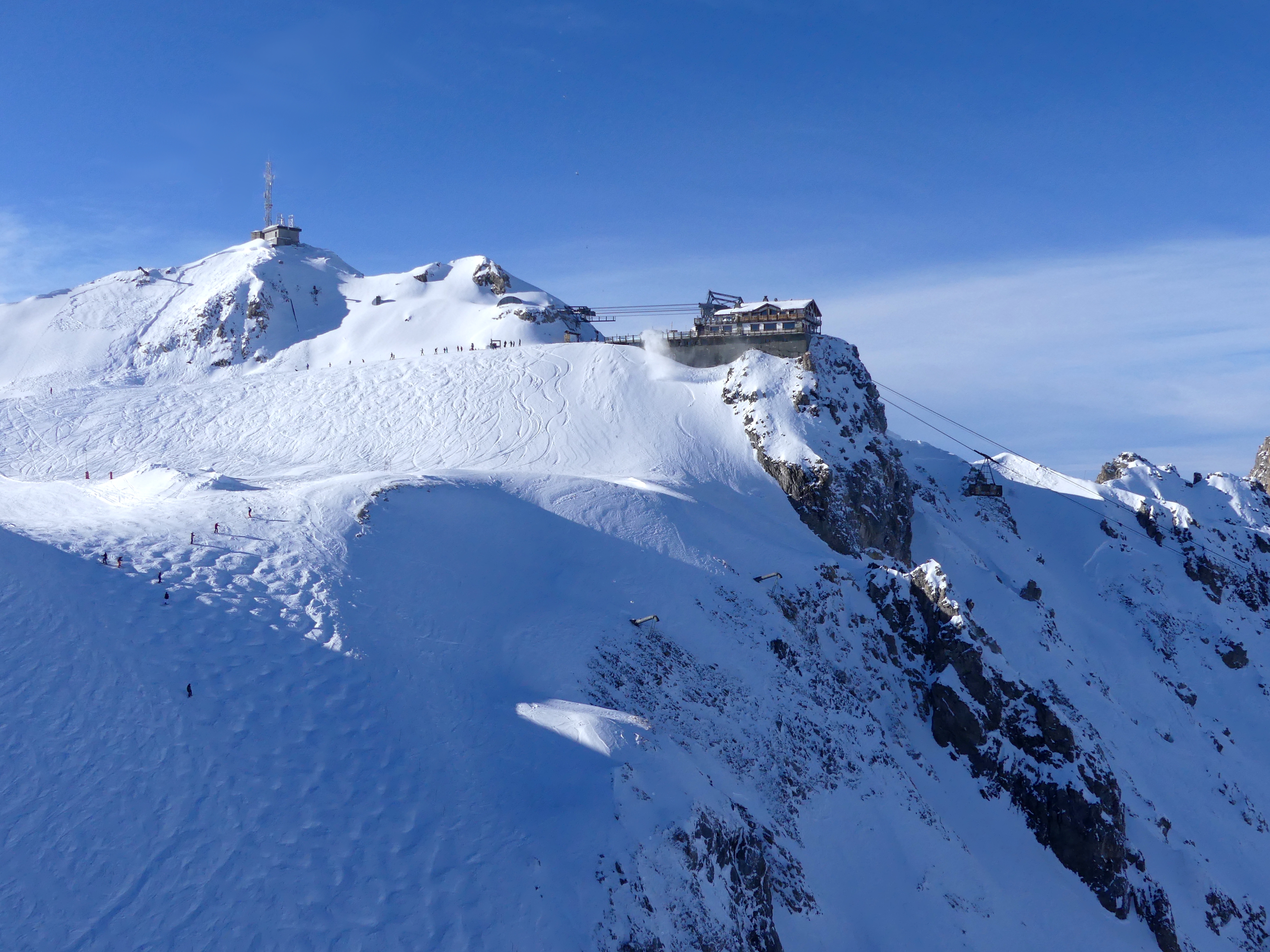
Bottom station 2,077 m, top station 2,710 m. Rebuilt by POMA, reopened 6 December 2024. Summer 2026: 4 July – 30 August, 9:30am–4:30pm. Operated by Société des 3 Vallées.
 Paid
Paid
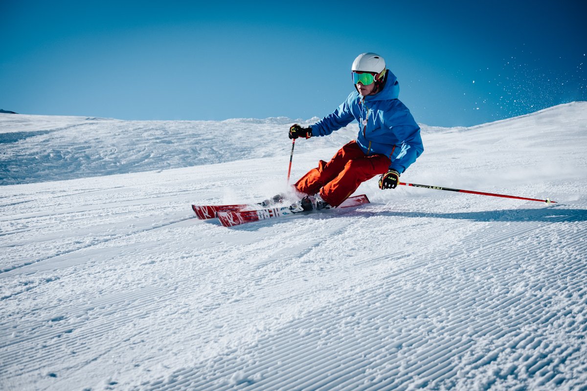
Courchevel: six linked villages from 1,100 to 1,850 m, 150 km of home slopes, free shuttles, free cross-country — and the 600 km of Les 3 Vallées. 2026-27 season: 4 December to 18 April.
 Free
Free
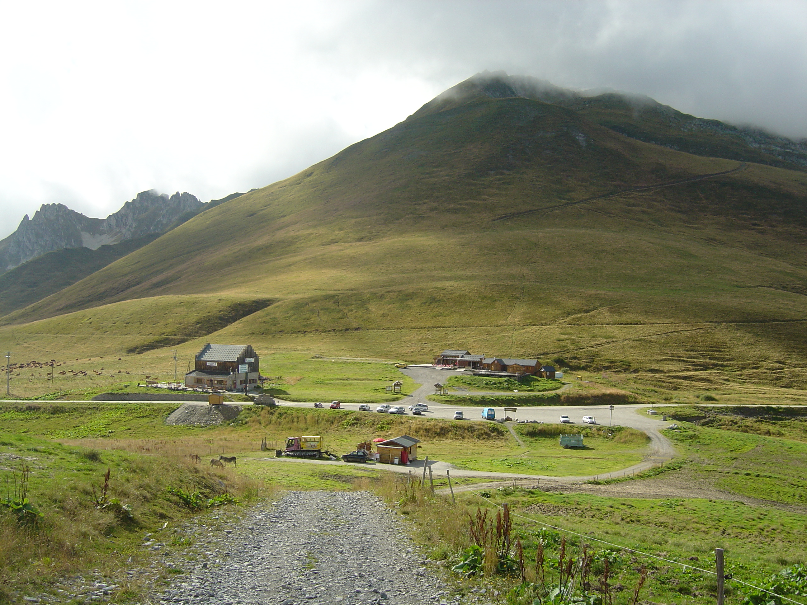
Open since 29 May 2026. Between La Chambre in the Maurienne and La Léchère in the Tarentaise, on the RD 213. Free access. 1,993 m per IGN, 2,000 m on the stele.
 Free
Free
Beaufortain pass at 2,107 m. The tarmac stops at Pichu: the last 3.2 km are a track at 8-9%. Not to be confused with the Cormet de Roselend.
 Free
Free
Pass at 1,533 m above the Maurienne, famous for the Lacets de Montvernier: 17 or 18 hairpins depending on the source. 14 km at 7.5% to the top.