
A restaurant in Beaufort?
Hosting visitors of Cormet d'Arêches ? Appear here.
Become a partnerThe Cormet d'Arêches crosses the Beaufortain at 2,107 m. The tarmac stops at Pichu: the last 3.2 km are a track at 8-9%.

The Cormet d'Arêches tops out at 2,107 m in the Beaufortain massif, linking the Beaufort valley, via Arêches, to the Aime valley.
One point outranks all others: the road is not surfaced all the way to the pass. The tarmac stops at Pichu, and the last 3.2 km become a track at 8-9% average. The final kilometres on both sides are unsurfaced or broken up. This is not an ordinary road pass.
Not to be confused with the Cormet de Roselend, 139 m lower, in the same massif and documented by the same tourist office — which uses the identical accessibility wording for both.
From Beaufort via Arêches, or from the Aime valley. The road is surfaced only as far as Pichu: the upper section is a track, and the final kilometres on both sides are unsurfaced or broken up.
Open in MapsClimb profiles exist from Beaufort and from Aime; their figures were not extracted and no distance is asserted here. The last 3.2 km are a track at 8-9% average.
Open in MapsThe tourist office calls the pass "generally accessible from June 15 to October 15", but uses the same phrase for another pass: treat it as an order of magnitude, not a period. No 2026 dates are published. Check road conditions, and remember the upper section is a track.
Hosting visitors of Cormet d'Arêches ? Appear here.
Become a partnerShare hours and specialties with visitors of Cormet d'Arêches.
Become a partnerGîte, B&B, campsite, rental in Beaufort.
Become a partnerBeen there? Share your photos — we'll add them to this page with credit. Tag #loisirs73 or email photos@loisirs73.fr
2,107 m. The sources consulted agree.
No. The tarmac stops at Pichu and the last 3.2 km are a track at 8-9% average. The final kilometres on both sides are unsurfaced or broken up.
No, they are two distinct Beaufortain passes: the Cormet d'Arêches is at 2,107 m, the Cormet de Roselend at 1,968 m, on a different road.
The tourist office writes "generally accessible from June 15 to October 15", but it uses exactly the same phrase for another pass. It is not an official period and no 2026 dates are published.
No source consulted mentions a car park, refuge or water point at the pass.
Access: Free.
Multi-source verification at publication. Information may change — confirm with the official operator before travelling.
Nearby
Other places to explore in the area and in the same category
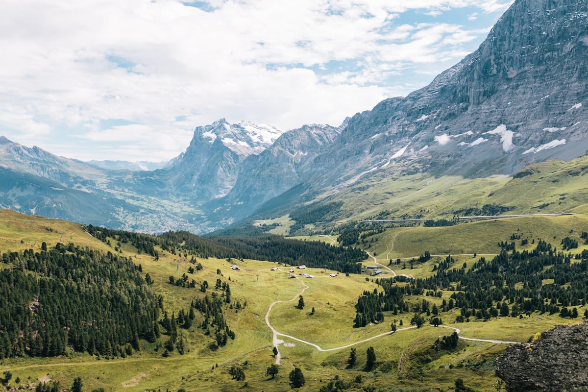 Free
Free
Lac de Roselend (Beaufort, Savoie), 1 557 m: Swimming forbidden. Official sources, discrepancies flagged.
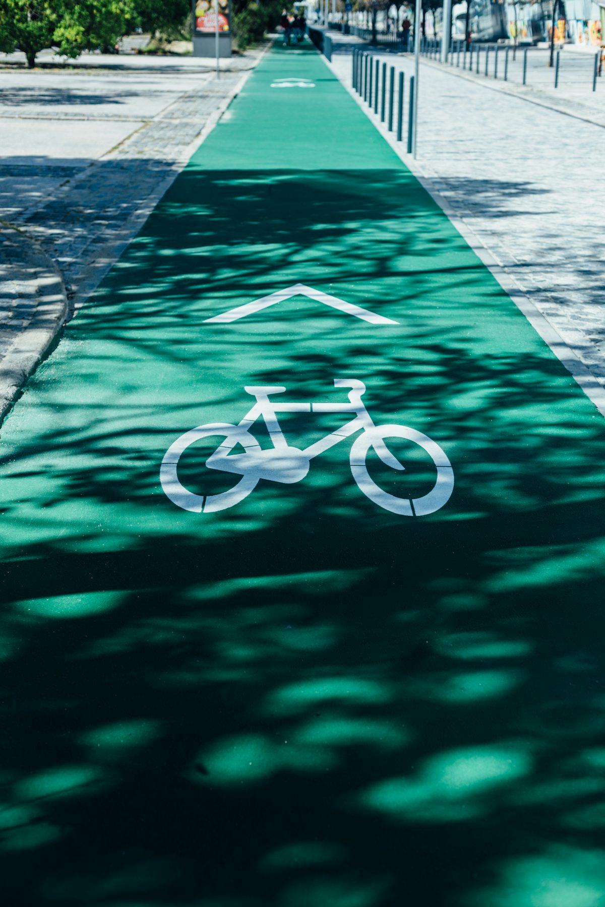 Free
Free
Avenue Verte de Tarentaise: 15 asphalted kilometres along the Isère from Aime to Bourg-Saint-Maurice, green grade, free access 31 March to 31 October. Dogs on a lead, parking nearby, lake at 8 km.
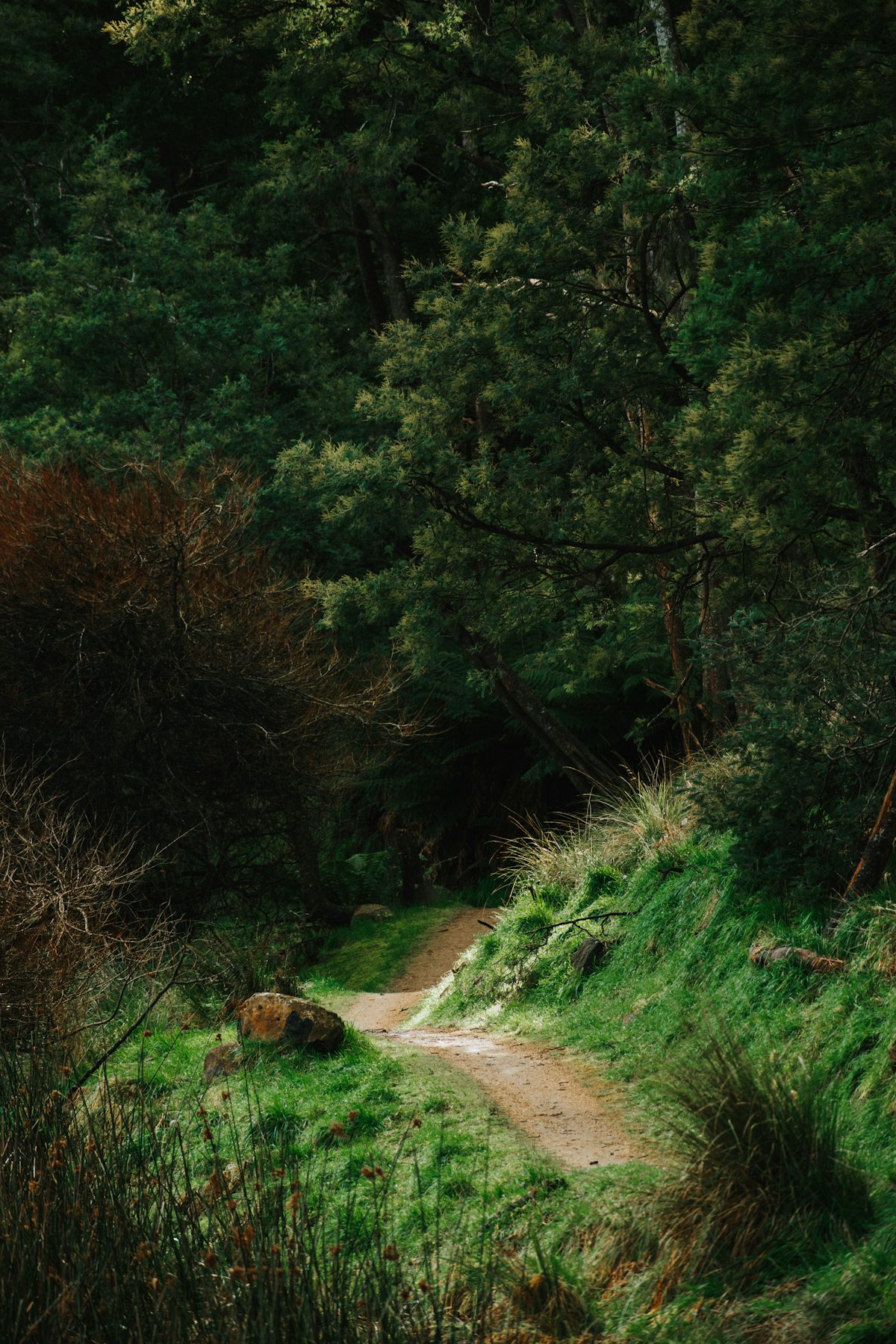 Free
Free
The Hautecour artistic trail in the Tarentaise: land art renewed each spring, an easy 4.3 km loop or a 700 m comfort version. Official sources only.
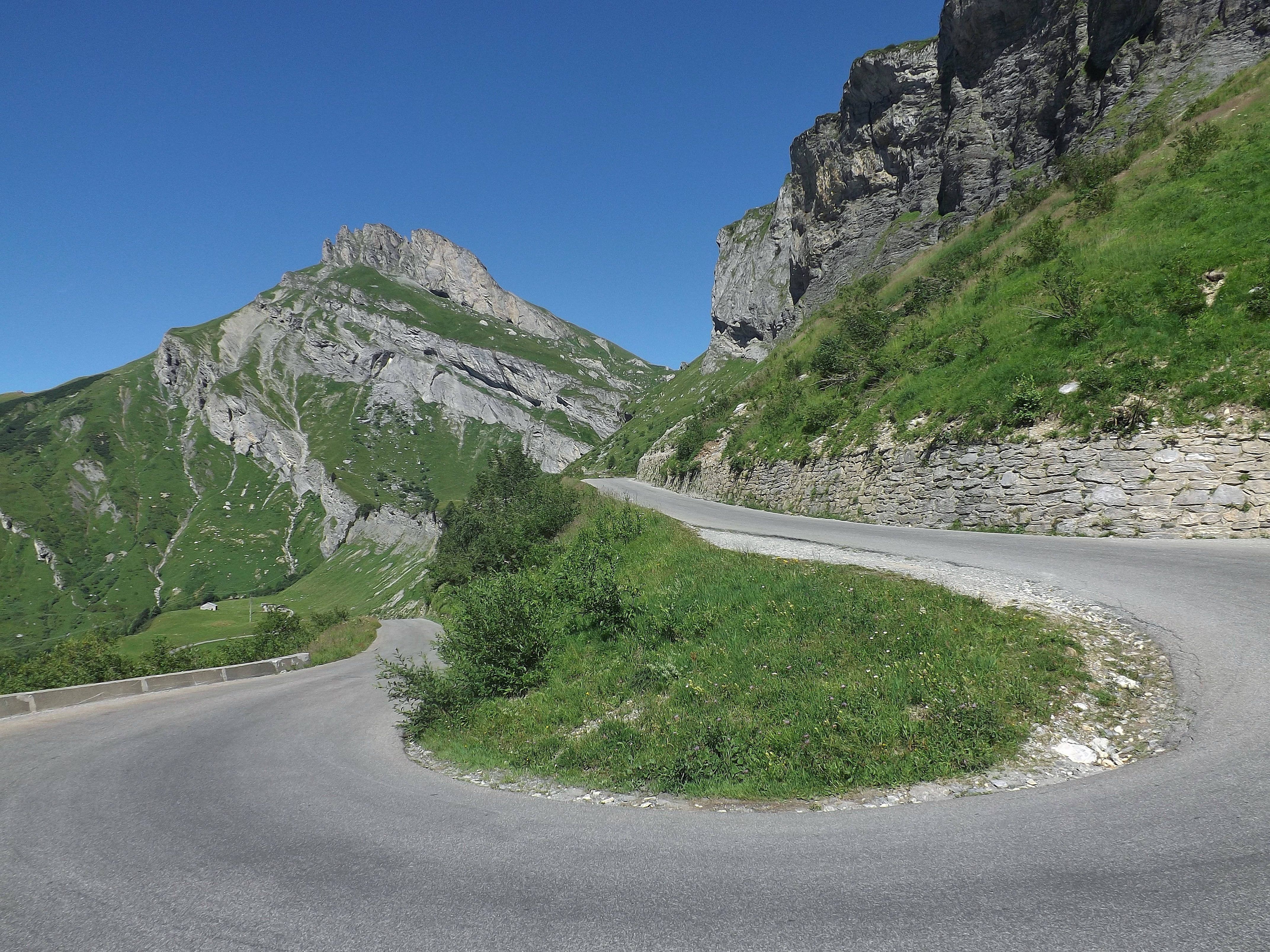 Free
Free
Pass at 1,968 m between the Beaufortain and the Tarentaise, on the D 925. No restaurant, no toilets at the top. The 2026 reopening was reported at two different times.
 Free
Free
Summit at 1,930 m above Les Saisies. The 2016 Tour de France stopped at 1,723 m, at the resort, not the Signal. Two sides: 14.35 km or 4.35 km.
 Free
Free
Pass at 1,650 m between the Beaufortain and the Val d'Arly, commune of Hauteluce. Open all year: an inhabited resort, not a high pass that shuts for winter.
 Côte 2000 AventureMegève · 23 km
On Loisirs 74
Côte 2000 AventureMegève · 23 km
On Loisirs 74 Mont JolySaint-Gervais-les-Bains · 24 km