
A restaurant in Hauteluce?
Hosting visitors of Signal de Bisanne ? Appear here.
Become a partnerThe Signal de Bisanne looks over Les Saisies from 1,930 m. The Tour de France climbed it in 2016 — but stopped 207 m lower, at the resort.

The Signal de Bisanne tops out at 1,930 m in the Beaufortain, above the Les Saisies resort, in the commune of Hauteluce. Sources present it as the high point of the sector's ski lifts.
It entered Tour de France history in 2016, on stage 19, rated hors catégorie on its first ascent. One correction matters: the peloton stopped at resort level, 1,723 m, not at the summit 207 m higher.
The two sides have nothing in common: 14.35 km at 8.5% from Villard-sur-Doron, against 4.35 km at 8.1% from the Col des Saisies.
Above the Les Saisies resort, commune of Hauteluce. No source consulted gives a road number or an opening period.
Open in MapsTwo very different sides: 14.35 km at 8.5% average from Villard-sur-Doron, or 4.35 km at 8.1% from the Col des Saisies. First Tour de France ascent in 2016, stage 19, hors catégorie, with the classification judged at the resort at 1,723 m.
Open in MapsNo source consulted publishes an opening period for the access road. The summit is a viewpoint over the Beaufortain, reachable by bike on two sides of very unequal difficulty.
Hosting visitors of Signal de Bisanne ? Appear here.
Become a partnerShare hours and specialties with visitors of Signal de Bisanne.
Become a partnerGîte, B&B, campsite, rental in Hauteluce.
Become a partnerBeen there? Share your photos — we'll add them to this page with credit. Tag #loisirs73 or email photos@loisirs73.fr
1,930 m. Not to be confused with the 1,723 m of the resort, where the 2016 Tour stage classification was judged.
Not to the summit. In 2016, on stage 19, the peloton stopped at resort level, 1,723 m, 207 m below the Signal. It was Bisanne's first Tour ascent, rated hors catégorie.
Entirely dependent on the side: 14.35 km at 8.5% average from Villard-sur-Doron, but only 4.35 km at 8.1% from the Col des Saisies.
The summit overlooks Les Saisies, in the commune of Hauteluce, but the DATAtourisme queue places the paragliding launch under Villard-sur-Doron. No source settles the boundary at the summit.
The site is listed by the FFVL, but no access conditions, season or rules were recorded in the sources consulted.
Access: Free.
Multi-source verification at publication. Information may change — confirm with the official operator before travelling.
Nearby
Other places to explore in the area and in the same category
 Free
Free
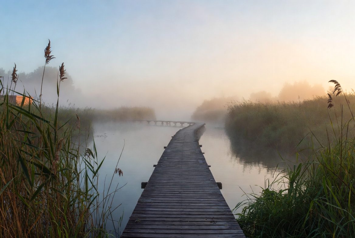
The Arpelières trail at Crest-Voland: a boardwalk figure-of-eight through the largest acid moss bog in the Alps. Free 1 June to 30 September, mandatory leashes, no straying off the path.
 Paid
Paid
Les Saisies (1,650 m): 120 km of cross-country on the 1992 Olympic site, open from 11 November, Nordic free with the alpine pass — and the six-village Espace Diamant. Alpine season: 12 December to 10 April.
 Free
Free
Cité médiévale de Conflans, Albertville, Savoie: Free, All year, every day. Official sources, discrepancies flagged.
 Free
Free
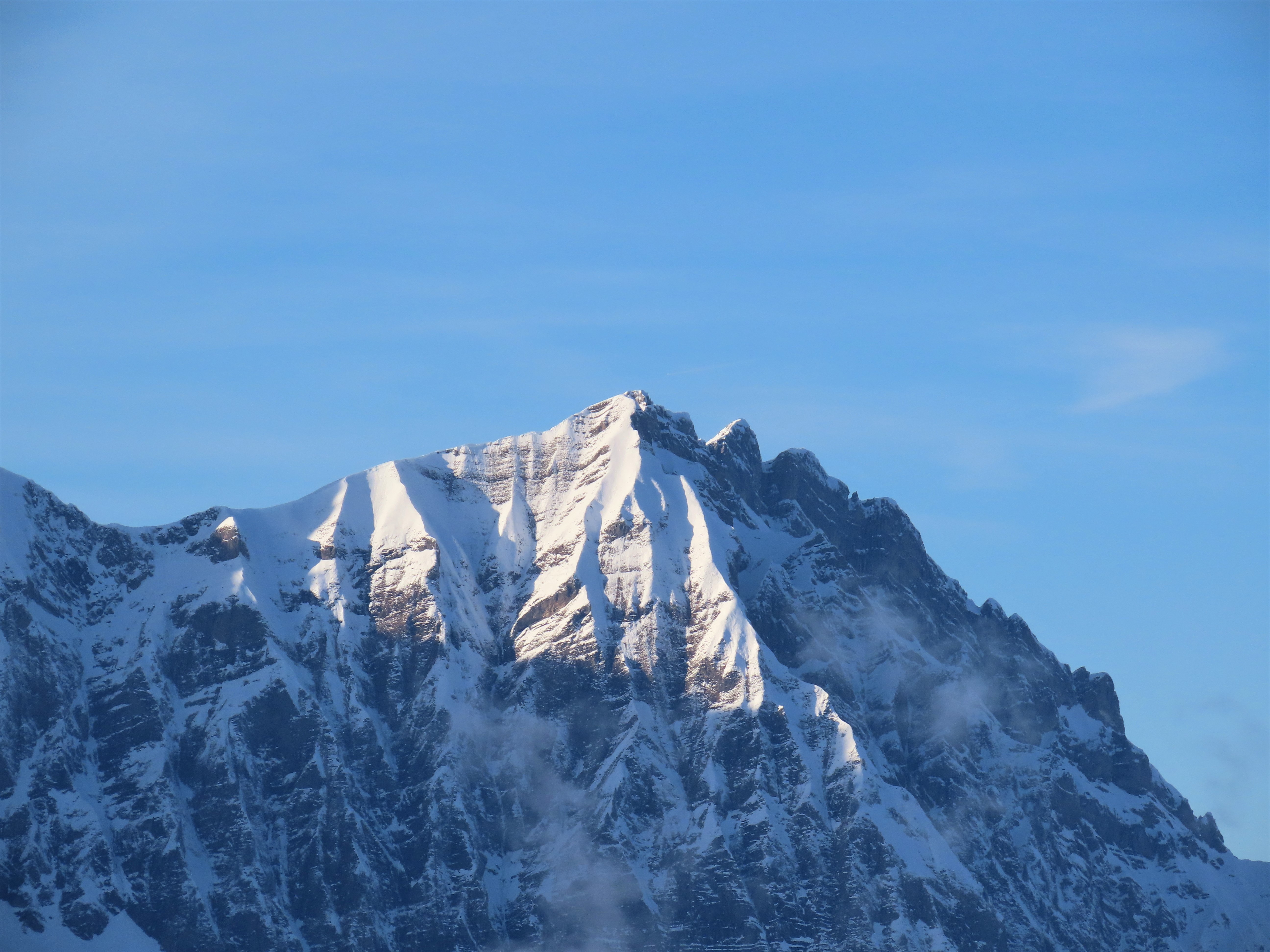
Pass at 1,650 m between the Beaufortain and the Val d'Arly, commune of Hauteluce. Open all year: an inhabited resort, not a high pass that shuts for winter.
 Free
Free
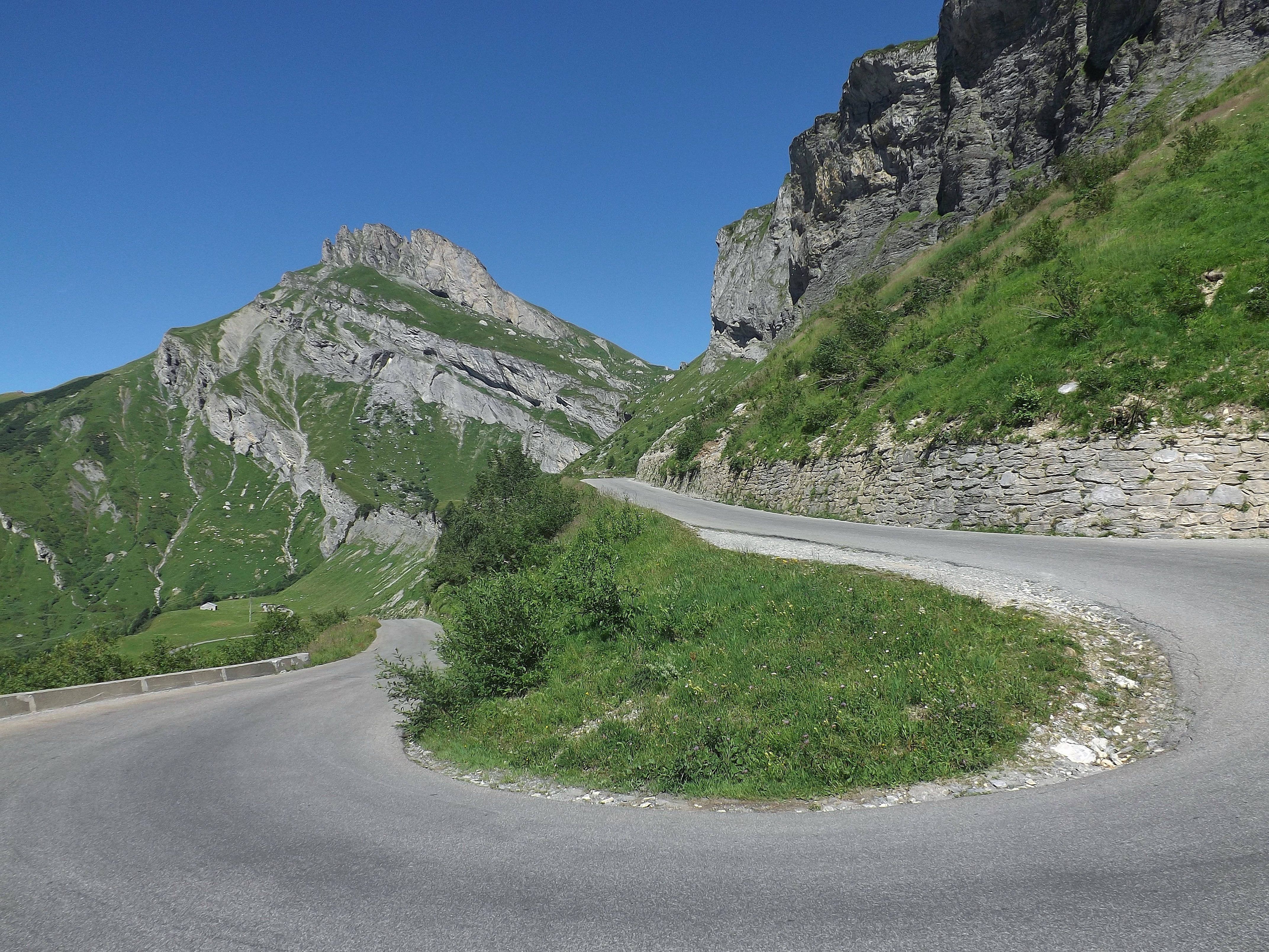
Pass at 1,968 m between the Beaufortain and the Tarentaise, on the D 925. No restaurant, no toilets at the top. The 2026 reopening was reported at two different times.
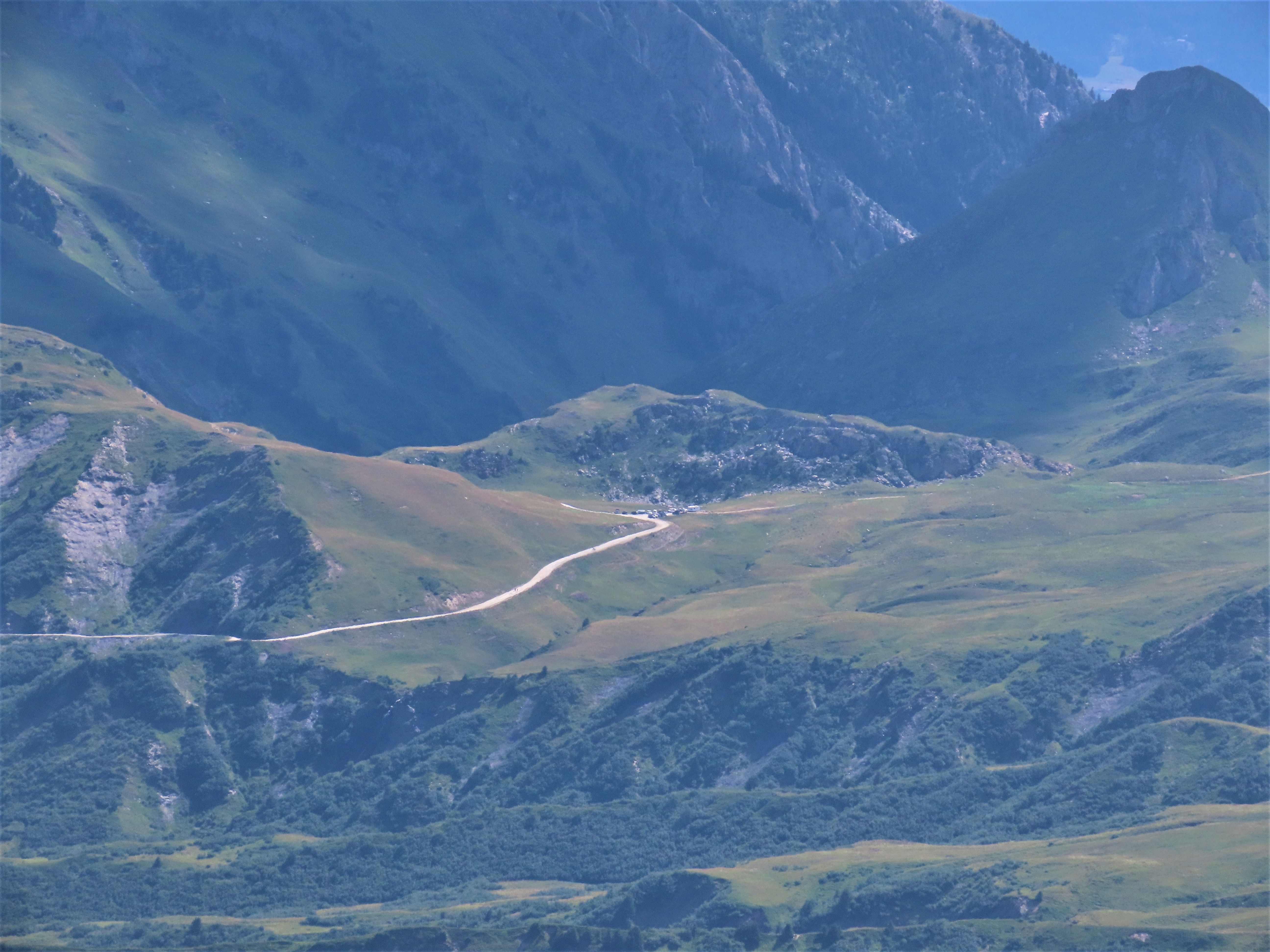 Free
Free
Beaufortain pass at 2,107 m. The tarmac stops at Pichu: the last 3.2 km are a track at 8-9%. Not to be confused with the Cormet de Roselend.
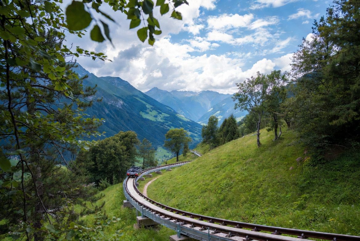 Dévalkart de ManigodManigod · 12 km
On Loisirs 74
Dévalkart de ManigodManigod · 12 km
On Loisirs 74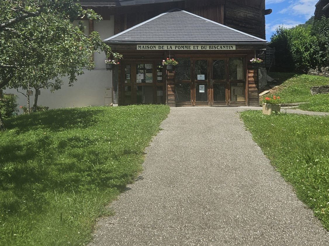 Maison de la Pomme et du BiscantinSerraval · 13 km