
A restaurant in Crest-Voland?
Hosting visitors of Sentier des Arpelières ? Appear here.
Become a partnerOn the boardwalks of the largest acid moss bog in the Alps, a figure-of-eight where you pick your loop — 1.2, 1.8 or 4.2 km — and where straying off the path is the one thing you must not do.

The Arpelières trail, at Crest-Voland (1,536 m), crosses the Saisies-Beaufortain-Val d'Arly bog regional nature reserve — 'the largest acid moss bog in the Alps'. Its figure-of-eight layout leaves the choice: a 1.8 km loop, a 1.2 km one, or the whole trail, 4.2 km. Duration and climb are not published on the sheet — we do not invent them.
The bog's fragile ground sets the rules, written as they stand: you walk 'on wooden duckboard footbridges, so beware in wet weather, slippery ground', and 'above all do not leave the path' — the wooden posts guiding the way, 'the children will love it'. In the reserve, dogs 'MUST' be kept on a leash; the trail is 'not suitable for strollers'.
From 1 June to 30 September, freely and free of charge every day. Guided visits are offered (€2 per person, night visits €4, free under 18, children's activities free). Three trailheads: the Nant Rouge on the D71A (Saisies road), the Monument car park at the Col des Saisies, or the La Palette forest road — mandatory car park then 20 minutes on foot. Free parking, dry toilets, picnic area; map and GPX online, booklet at the Maison des tourbières.
Hosting visitors of Sentier des Arpelières ? Appear here.
Become a partnerShare hours and specialties with visitors of Sentier des Arpelières.
Become a partnerGîte, B&B, campsite, rental in Crest-Voland.
Become a partnerBeen there? Share your photos — we'll add them to this page with credit. Tag #loisirs73 or email photos@loisirs73.fr
The trail crosses a regional nature reserve with fragile peat ground: 'above all do not leave the path' — the duckboards and wooden posts exist to protect the bog as much as the visitors.
The figure-of-eight offers three options: the small 1.2 km loop, the larger 1.8 km one, or the whole trail at 4.2 km. Duration and climb are unpublished.
No, the self-guided route is free from 1 June to 30 September. Guided visits cost €2 (€4 at night), free under 18.
Dogs yes, but 'MANDATORILY' on a leash (nature reserve). Strollers no: the sheet states 'not suitable for strollers' despite the boardwalks.
Parking: Free (Nant Rouge, Monument, La Palette).
Access: Free (self-guided).
Best time: 1 June – 30 September.
Multi-source verification at publication. Information may change — confirm with the official operator before travelling.
Nearby
Other places to explore in the area and in the same category
 Free
Free
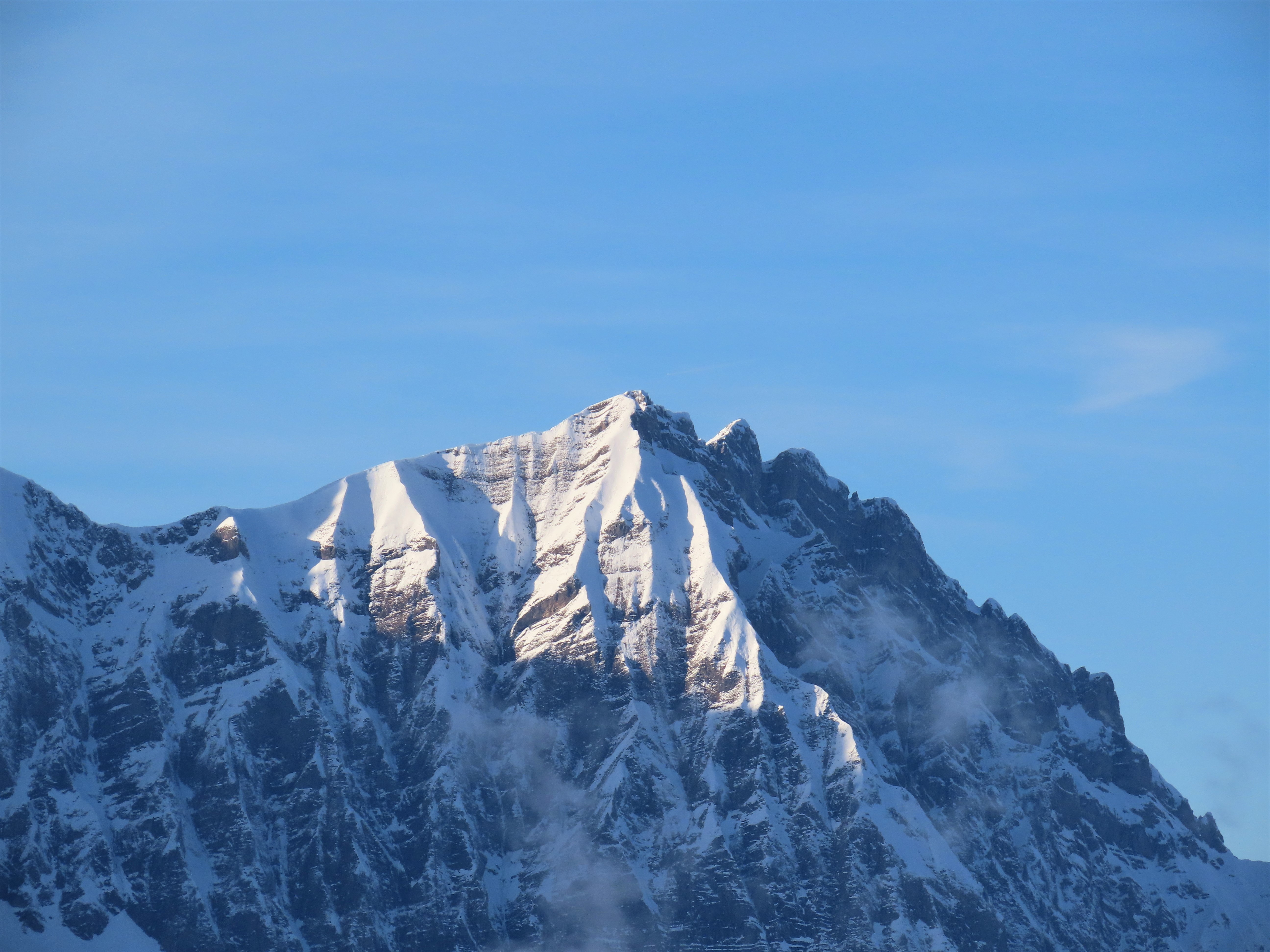
Pass at 1,650 m between the Beaufortain and the Val d'Arly, commune of Hauteluce. Open all year: an inhabited resort, not a high pass that shuts for winter.
 Free
Free
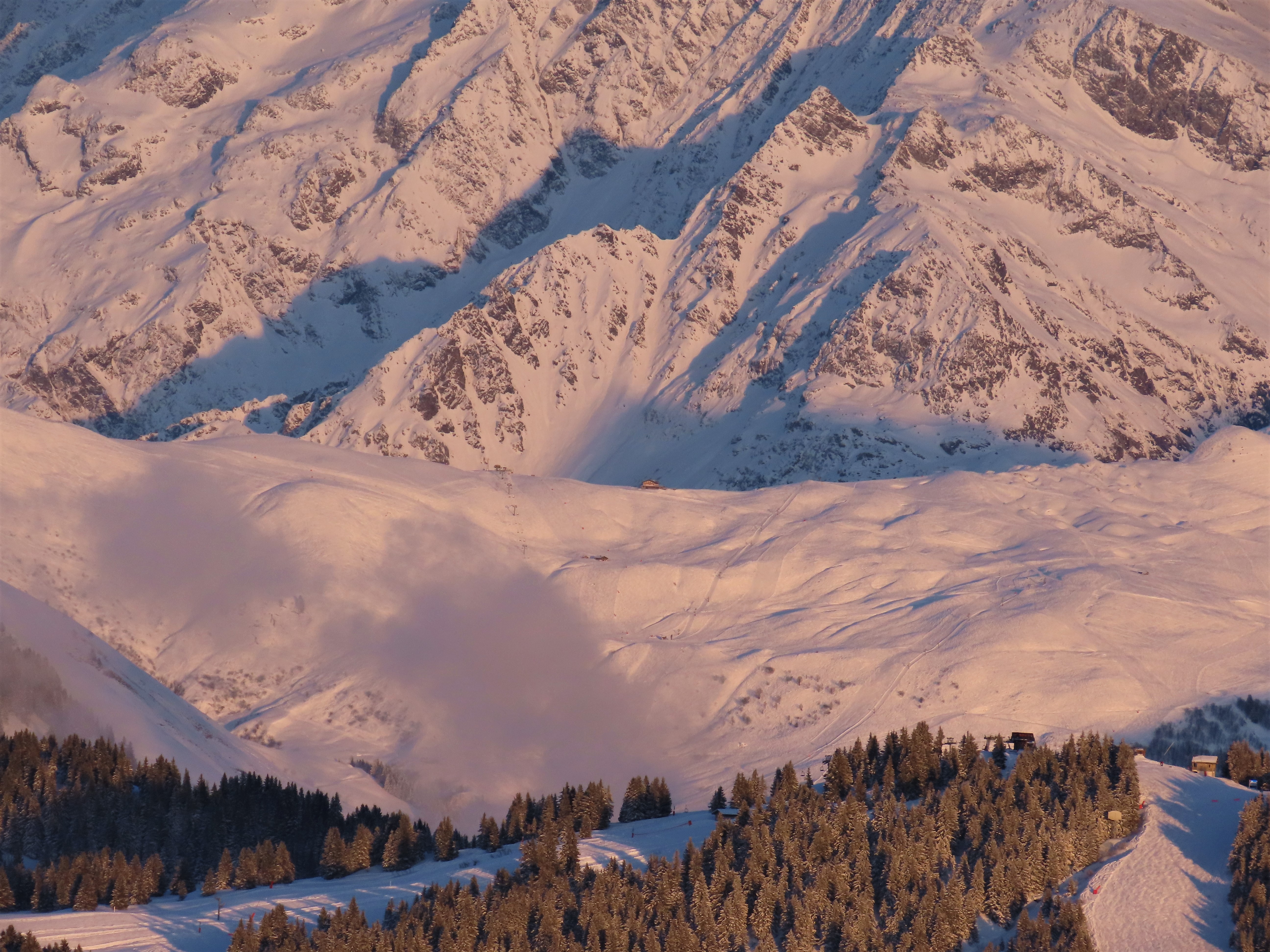
Summit at 1,930 m above Les Saisies. The 2016 Tour de France stopped at 1,723 m, at the resort, not the Signal. Two sides: 14.35 km or 4.35 km.
 Paid
Paid
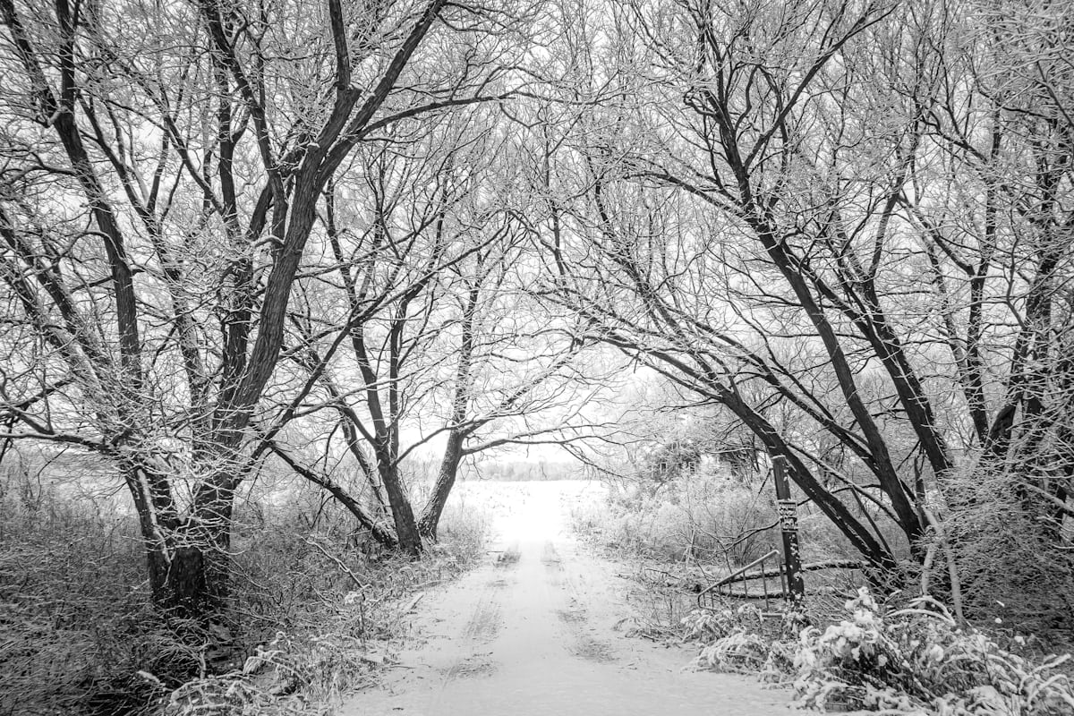
Les Saisies (1,650 m): 120 km of cross-country on the 1992 Olympic site, open from 11 November, Nordic free with the alpine pass — and the six-village Espace Diamant. Alpine season: 12 December to 10 April.
 Free
Free
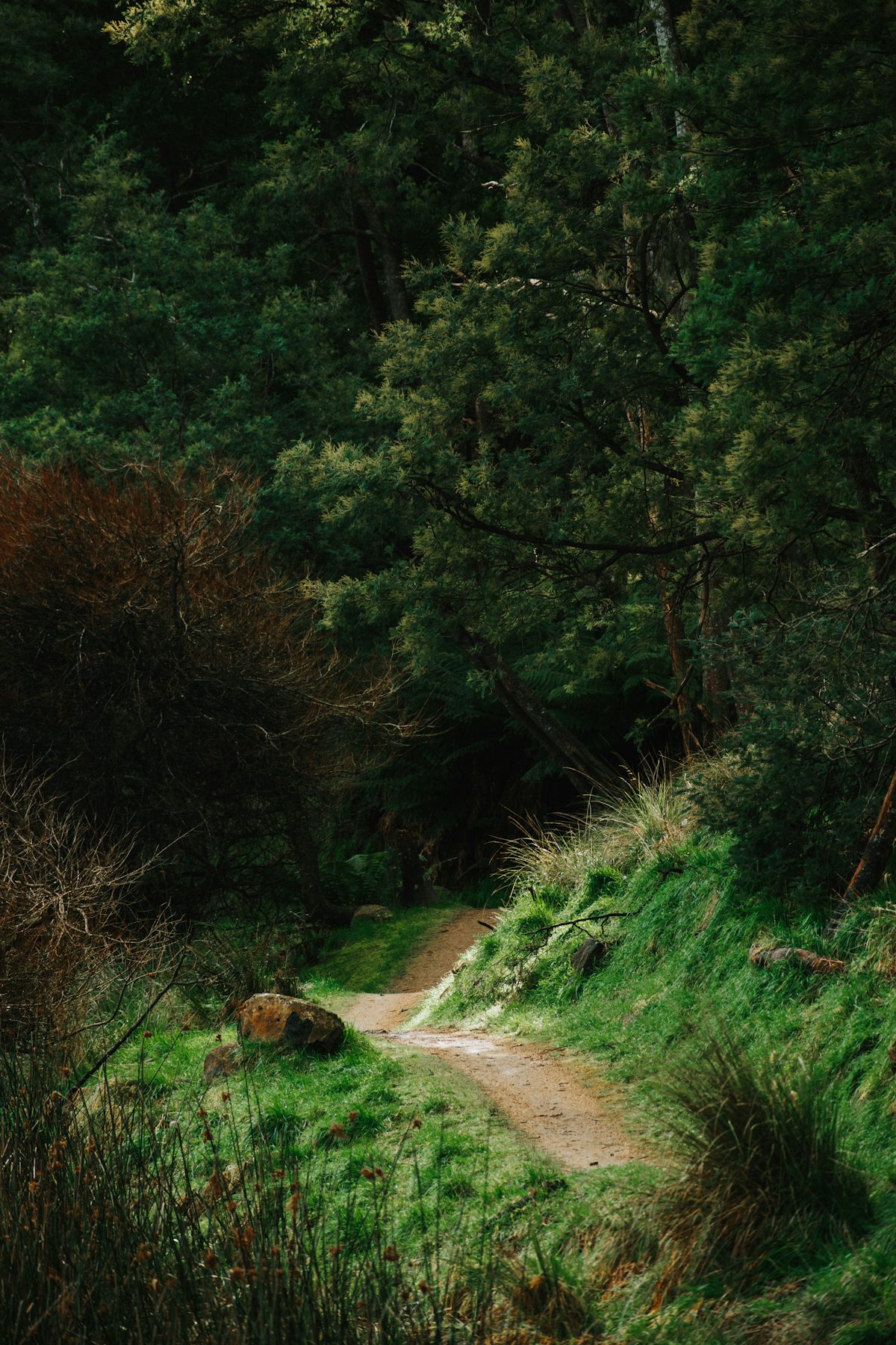
The Hautecour artistic trail in the Tarentaise: land art renewed each spring, an easy 4.3 km loop or a 700 m comfort version. Official sources only.
 Free
Free
The chemin du Petit Bonheur in Haute Maurienne Vanoise: an ancestral village-to-village path, 40 to 50 km per the tourist office, family-friendly. Official sources.
 Free
Free
The Rosière lake loop at Courchevel: an easy 1.8 km in 1 h, stroller-accessible, a footbridge over the lake and a botanical trail. The longer, 'difficult' winter version is quoted too.
 Côte 2000 AventureMegève · 11 km
On Loisirs 74
Côte 2000 AventureMegève · 11 km
On Loisirs 74 MegèveMegève · 12 km